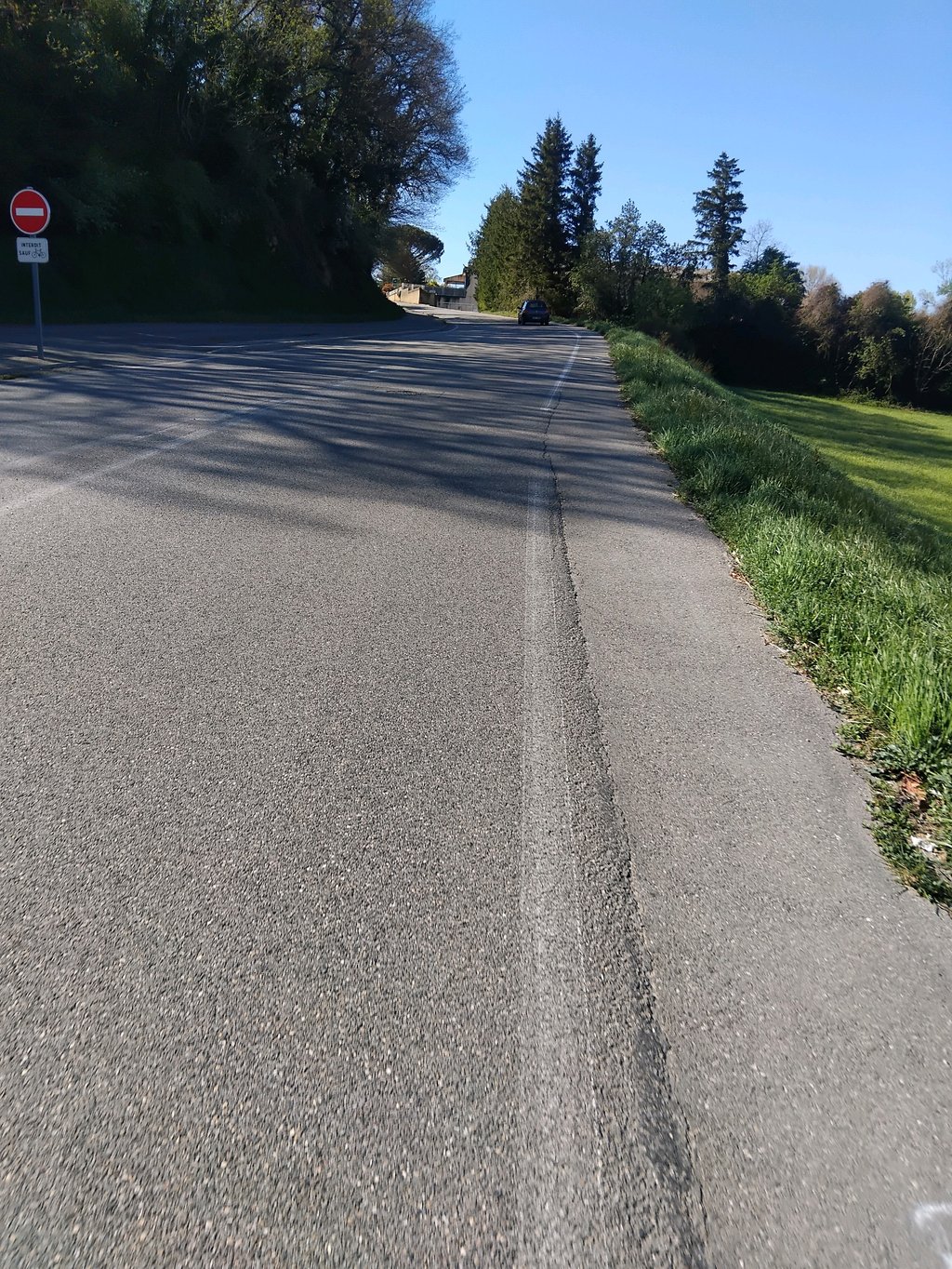
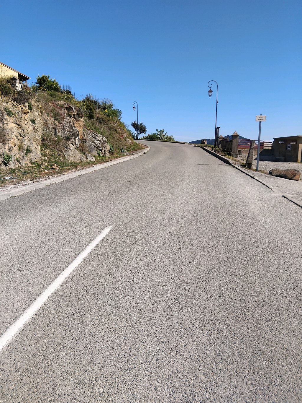
Le Croix Saint Andre via Côte des Ayes is a climb in the region Ardèche. It is 16.2 km long and bridges 568 m of vertical ascent with an average gradient of 3.5%, resulting in a difficulty score of 253. The top of the ascent is located at 708 m above sea level. Climbfinder users shared 1 review/story of this climb and uploaded 4 photos.
Road names: Route de Toulaud, Route de Saint-Péray, Route de Monsano, Rue des Mûriers, Rue du Moulin de l'Aure & Route de Vernoux
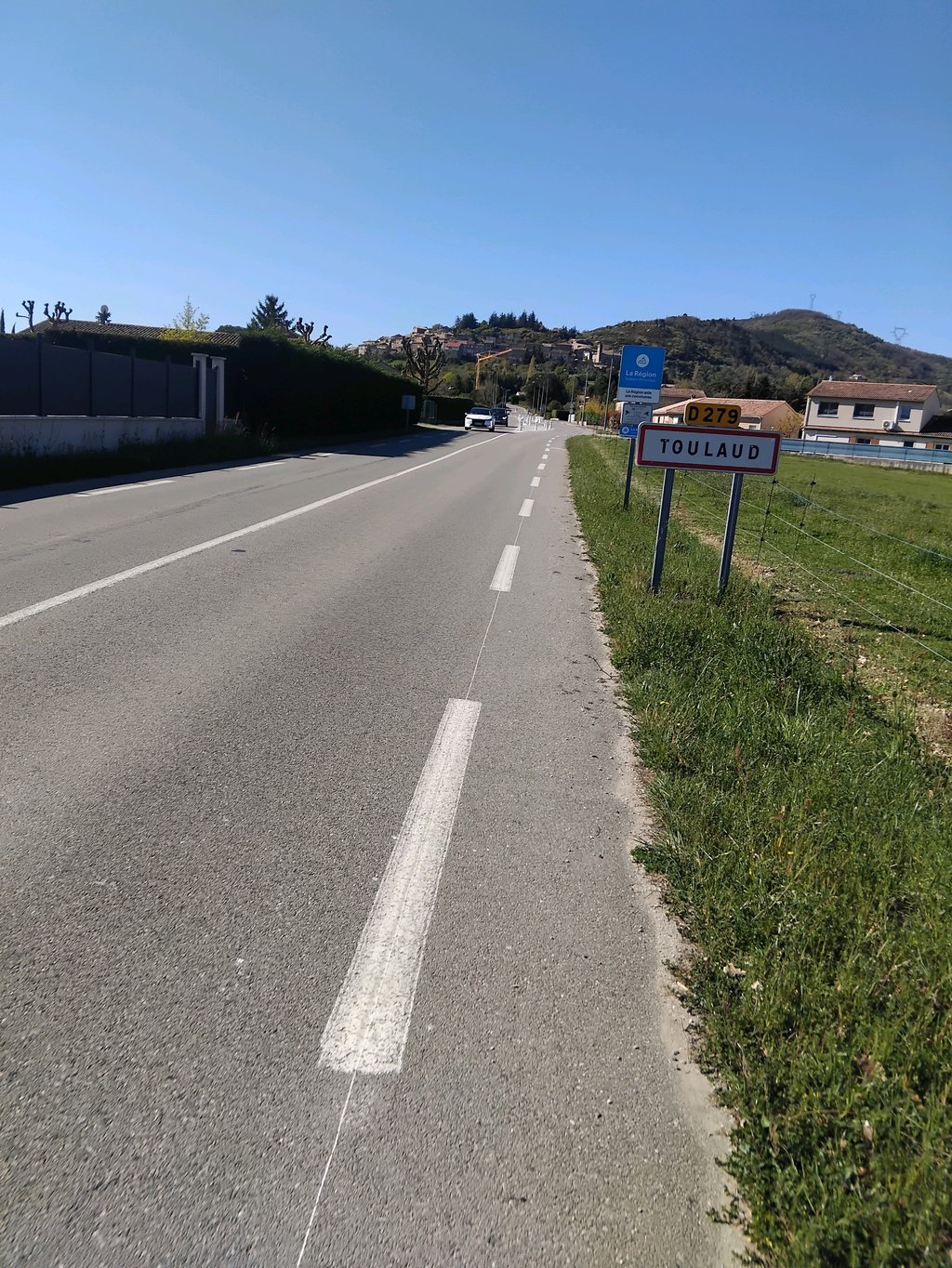
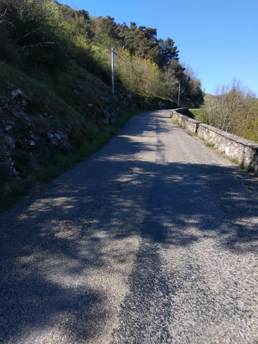
3.0 by AntoineThis is an automatic translation, the original language is: French.A climb in two parts. The first part is very easy up to the village of Toulaud, where you'll find a watering place, then a second part on a small road after the village.... read more
Welcome! Please activate your account if you would like to share something. Look for the verification email in your inbox.
If you want to upload your photos, you need to create an account. It only takes 1 minute and it's completely free.
A climb in two parts. The first part is very easy up to the village of Toulaud, where you'll find a watering place, then a second part on a small road after the village.
Une montée en deux parties. Première partie très roulante jusqu'au village de Toulaud dans lequel vous trouverez un point d'eau puis une deuxième partie sur une petite route après le village
| 7 km/h | 02:19:09 |
| 11 km/h | 01:28:33 |
| 15 km/h | 01:04:56 |
| 19 km/h | 00:51:16 |
This page is better in the app