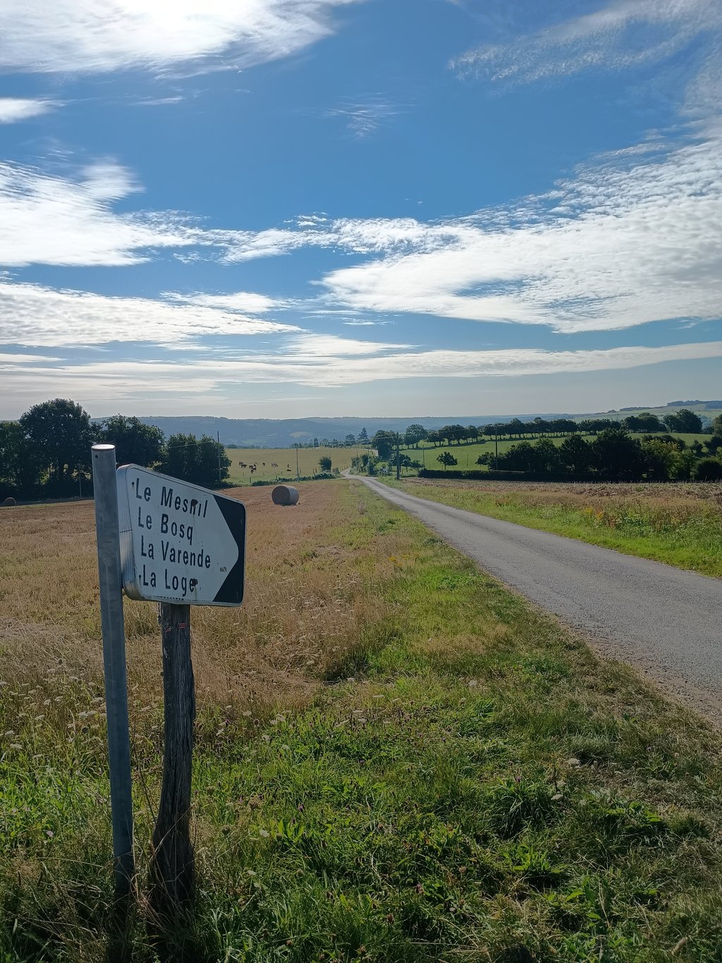
Côte de Roche Taillis is a climb in the region Calvados. It is 3.1 km long and bridges 187 m of vertical ascent with an average gradient of 6%, resulting in a difficulty score of 192. The top of the ascent is located at 230 m above sea level. Climbfinder users shared 1 review/story of this climb and uploaded 1 photo.
Het eerste stukje is killing, tussen de bomen en een smalle weg met een heuse haarspeldbocht. Daarna een lange uitloper om langzaam weer op adem te komen. Een stuk zwaarder dan de naastgelegen klim naar La Villette.
Share your knowledge. What was the road condition during your ascent?
Traffic
0% 0% 0%
Based on 0 votes
Your experience counts. How much traffic did you encounter during the climb?
Frequently Asked Questions
Côte de Roche Taillis is a challenging ascent. For this type of climbing, we recommend mountain gearing, specifically a compact system. This means a small front chainring of 34 teeth, combined with a rear cassette where, depending on your level, strength, and experience, you choose a sprocket with 30, 32, or even 34 teeth. Remember that a smooth cadence is always more efficient!
Côte de Roche Taillis is a 3rd-category climb. Almost anyone can handle this climb, as long as you have a bike with climbing gears. If you have little training, you will probably need to shift down significantly. For experienced riders, Côte de Roche Taillis is not a problem.
Côte de Roche Taillis is 3.1 km long.
The average gradient of Côte de Roche Taillis is 6%.
Côte de Roche Taillis has a steepest segment with an average gradient of 21%.
The summit of Côte de Roche Taillis is at 230 m.
At a slow pace of 7 km/h, it takes about 00:26:47 to climb Côte de Roche Taillis. At 11 km/h the time is 00:17:02, and at 15 km/h 00:12:30. For the fastest cyclists, 00:09:52 is an achievable time.
Côte de Roche Taillis is located in the region Calvados in France.