Côte de la Dolinière is a climb in the region Indre-et-Loire. It is 0.8 km long and bridges 39 m of vertical ascent with an average gradient of 5.2%, resulting in a difficulty score of 22. The top of the ascent is located at 109 m above sea level. Climbfinder users shared 1 review/story of this climb and uploaded 3 photos.
This is an automatic translation, the original language is: French.
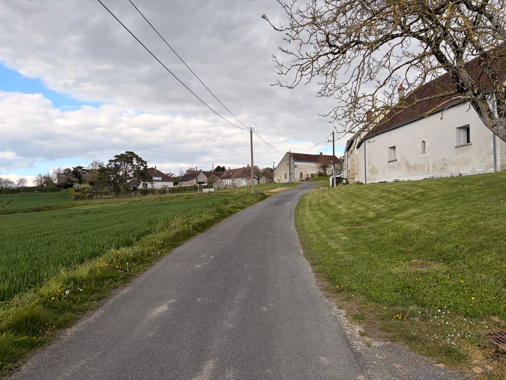
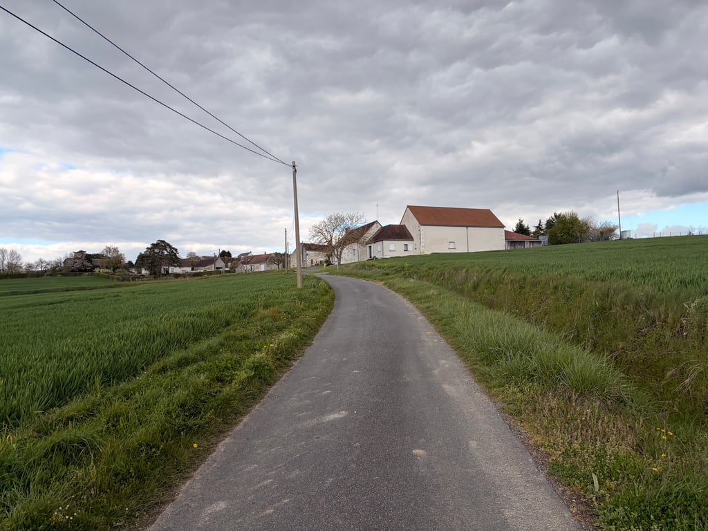
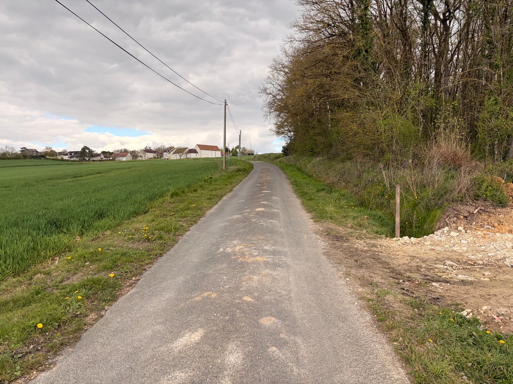
It's not much of a climb in my opinion, but it's in pleasant countryside, quite hilly for the region, and it's a quiet climb without any real difficulty....read more
Photos (3)
Welcome! Please activate your account if you would like to share something. Look for the verification email in your inbox.
This is an automatic translation, the original language is: French.
Show original
It's not much of a climb in my opinion, but it's in pleasant countryside, quite hilly for the region, and it's a quiet climb without any real difficulty.
Côte assez quelconque je trouve, mais dans un paysage agréable, assez valloné pour la région, montée au calme sans vraiment de difficulté.
Share your knowledge. What was the road condition during your ascent?
Traffic
100% 0% 0%
Based on 2 votes
Your experience counts. How much traffic did you encounter during the climb?
Frequently Asked Questions
You don't need special gearing for Côte de la Dolinière. The slope isn't long or steep enough to require much shifting down. You can conquer this climb on power alone. However, a compact gearing system with a smallest front chainring of 34 and largest rear sprocket of 28 or 30 is always nice if you enjoy cycling uphill. This helps maintain a smooth cadence.
Côte de la Dolinière is not tough enough to be assigned a mountain category. This means that even untrained cyclists can reach the top without any problems on this climb.
Côte de la Dolinière is 0.8 km long.
The average gradient of Côte de la Dolinière is 5.2%.
Côte de la Dolinière has a steepest segment with an average gradient of 7.5%.
The summit of Côte de la Dolinière is at 109 m.
At a slow pace of 7 km/h, it takes about 00:06:26 to climb Côte de la Dolinière. At 11 km/h the time is 00:04:06, and at 15 km/h 00:03:00. For the fastest cyclists, 00:02:22 is an achievable time.