| 2 hairpin turns |
| #69 toughest climb of Upper Rhine |
| #84 most elevation gain of Upper Rhine |
| #92 longest climb of Upper Rhine |
| #91 average steepest climb of Vosges |
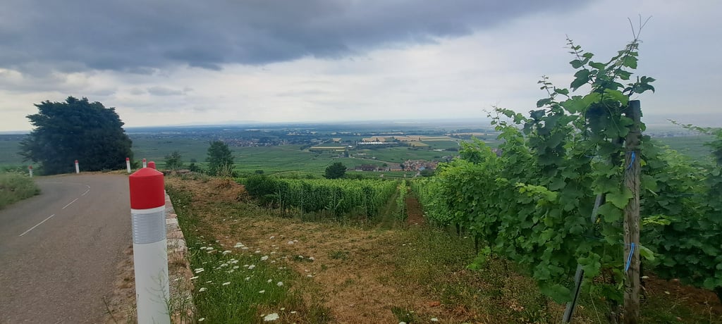
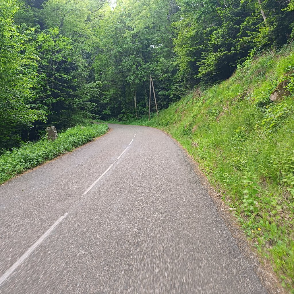
Côte de Gueberschwihr is a climb in the region Upper Rhine. It is 4.2 km long and bridges 334 m of vertical ascent with an average gradient of 8%, resulting in a difficulty score of 293. The top of the ascent is located at 567 m above sea level. Climbfinder users shared 5 reviews of this climb and uploaded 6 photos.
Road name: Rue de st Marc
4.0 by DembouzThis is an automatic translation, the original language is: French.The percentage is fairly high and irregular. However, at the beginning you have a beautiful view of the full and the road is not too busy!... read more
Welcome! Please activate your account if you would like to share something. Look for the verification email in your inbox.
If you want to upload your photos, you need to create an account. It only takes 1 minute and it's completely free.
The percentage is fairly high and irregular. However, at the beginning you have a beautiful view of the full and the road is not too busy!
Pourcentage assez élevé et irrégulier. Cependant on a au début une belle vue sur la pleine et la route n'est pas trop fréquenté !
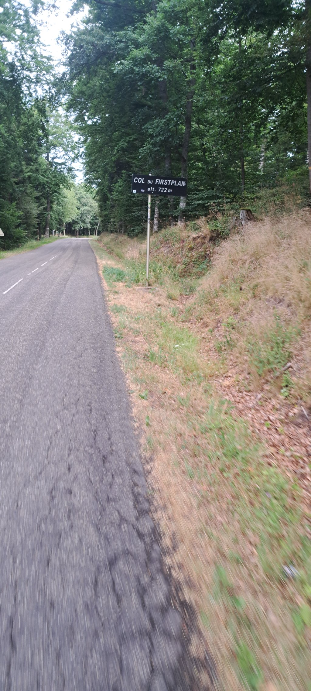
A fine first section of the Col du Firstplan, with some very steep sections over the first 2-3 kilometres before returning to a gentler gradient.
Don't start too hard, and you'll be able to enjoy this beautiful climb.
Belle première partie du col du Firstplan avec des très gros pourcentages sur les 2-3 premiers kilomètres avant de retrouver une pente plus douce.
Ne pas partir trop fort permet de profiter de cette belle ascension
Rarely have I suffered as much as on this climb. I had underestimated it and saw it more as a run-up to the Firstplan. This climb has a lot of steep parts from 10 to 12 and that's where I really let myself down. You don't get much chance to recover. So my advice, don't force yourself on this climb.
If your base of operations is near Munster or Colmar, you can indeed make a nice circuit via the Cinq-Chateaux, Gueberschwihr and Firstplan.
Zelden heb ik zo afgezien als op deze klim. Ik had hem flink onderschat en zag het meer als aanloopje naar de Firstplan. Deze klim kent flink wat steile stukken van 10% tot 12% en daarop vergaloppeerde ik mezelf nogal. Veel kans om te herstellen krijg je niet. Dus mijn advies, forceer jezelf niet op deze klim.
Als je in de buurt van Munster of Colmar je uitvalsbasis hebt, dan kun je inderdaad een mooi rondje maken via de Cinq-Chateaux, Gueberschwihr en Firstplan.
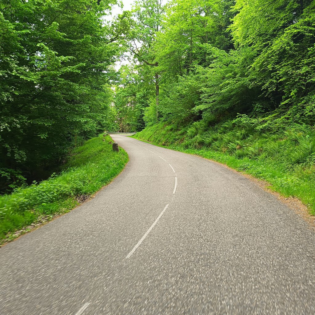
Nice climb, good tarmac, very little car traffic and a beautiful view.
Our tour, perfect for inexperienced mountain bikers like us:
Cote des cinq chateaux from Wintzenheim.
Via Husseren you descend to the start of the
Cote des Gueberschwihr. This connects via a nice descent to the last 3.5 km of the Col de Firstplan. After the descent to Wihr au Val the cycle path in the valley brings you in 9km back to Wintzenheim. Total about 53 km.
Leuke klim, goed asfalt, zeer weinig autoverkeer en een mooi uitzicht.
Ons rondje, prima voor niet ervaren bergfietsers zoals wij:
Cote des cinq chateaux vanuit Wintzenheim.
Via Husseren zak je naar de start van de
Cote des Gueberschwihr. Deze sluit via een lekkere afdaling aan op de laatste 3.5 km van de Col de Firstplan. Na de afdaling naar Wihr au Val brengt het fietspad in het dal je in 9km weer bij Wintzenheim. Totaal ongeveer 53 km.
| 7 km/h | 00:35:47 |
| 11 km/h | 00:22:46 |
| 15 km/h | 00:16:42 |
| 19 km/h | 00:13:11 |
This page is better in the app