Tips nearby


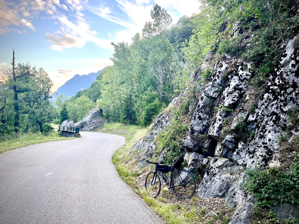
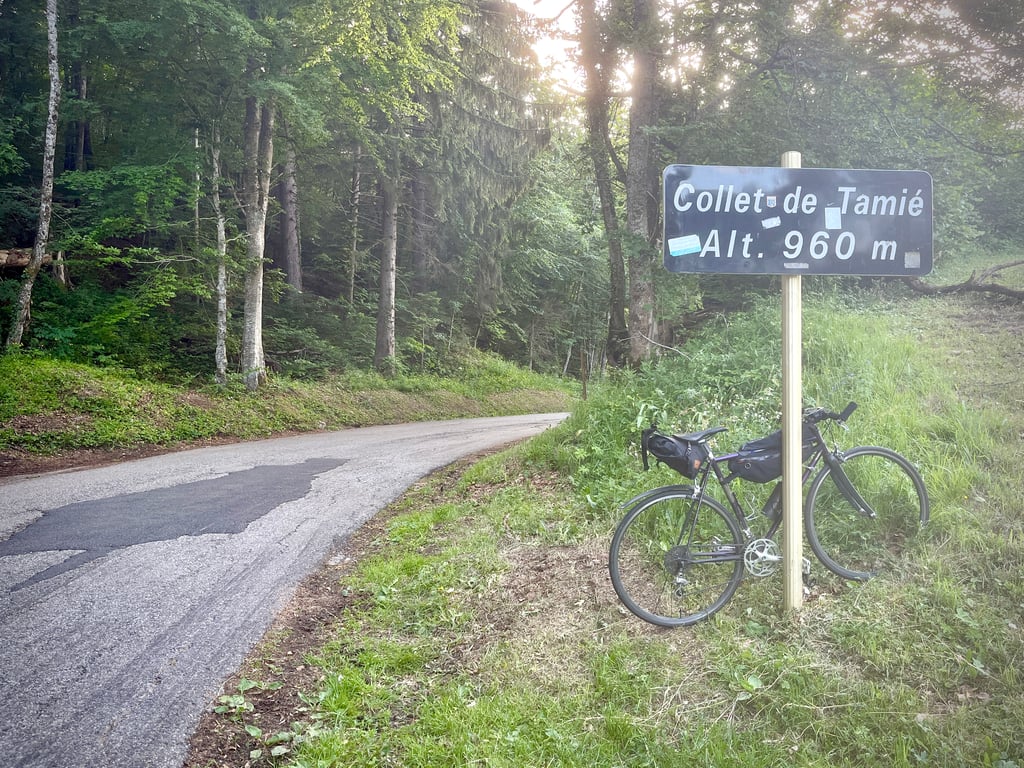
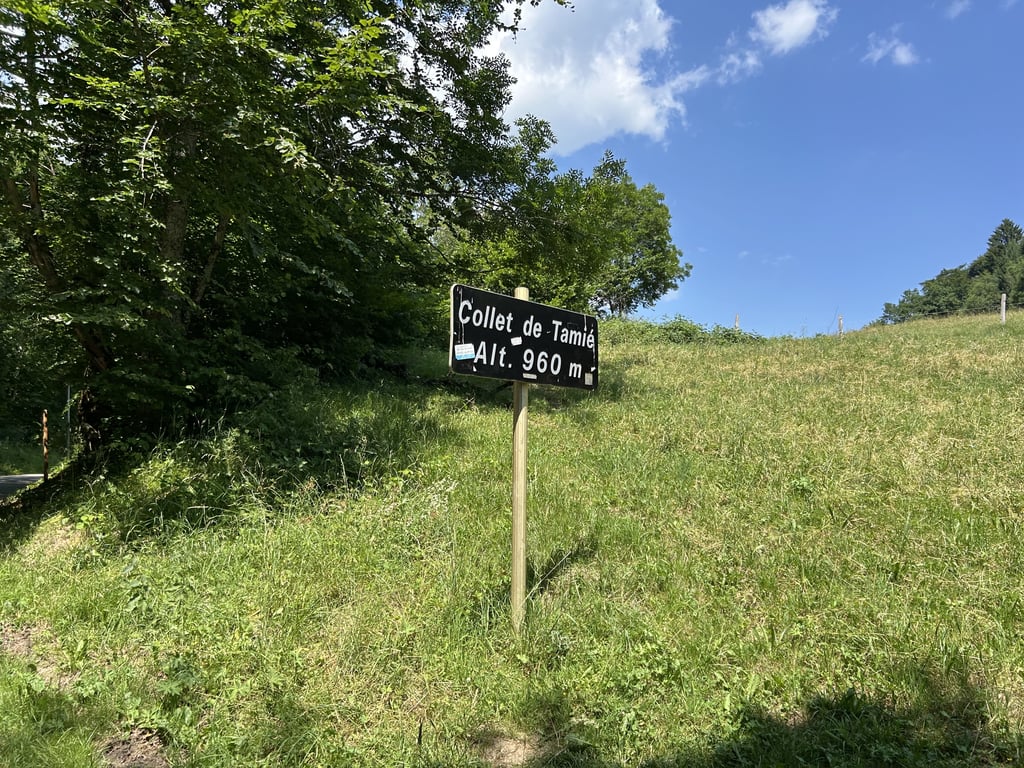
Collet de Tamié from Gilly-sur-Isère is a climb in the region Annecy. It is 8.9 km long and bridges 626 m of vertical ascent with an average gradient of 7%, resulting in a difficulty score of 554. The top of the ascent is located at 973 m above sea level. Climbfinder users shared 4 reviews of this climb and uploaded 15 photos.
Road names: Route de Glésin & Route du Collet de Tamié
5.0 by DuneThis is an automatic translation, the original language is: French.A very nice climb. An interesting alternative: after the church in Mercury, follow the Chevronet road to a place called La Soffaz and follow the sign for "Tamié". This route is only a few hundred metres longer, but provides a welcome breath of fresh air and a gentle restart. In contrast to the steep slope at 20% by the chemin de la forge which climbs "drè into the steep".... read more

Welcome! Please activate your account if you would like to share something. Look for the verification email in your inbox.
If you want to upload your photos, you need to create an account. It only takes 1 minute and it's completely free.
After the Col de Tamié, the eponymous collet. A fairly easy climb, never really painful.
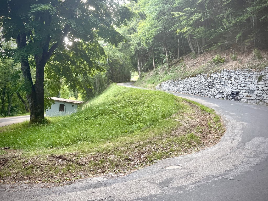
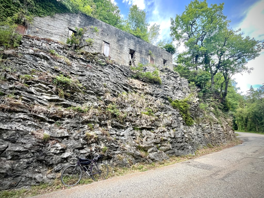
Road in good condition. Very little traffic.
Once past the houses in Gilly, small wooded areas alternate with meadows. Cows, horses, bends. Wide bends.
The gradients are sometimes irregular, but never really nasty. There are even a few flat spots. There's nothing too exciting to look at, apart from a wide view of Albertville. On the other hand, it's quiet, very quiet, even at weekends.
All in all, a pleasant climb, but not a very memorable one.
Après le col de Tamié, le collet éponyme. Une ascension assez roulante, jamais vraiment douloureuse.
Une route en bon état. Très peu de circulation.
Une fois dépassées les maisons de Gilly, les petites zones boisées alternent avec les prés. Des vaches, des chevaux, des virages. Larges.
Les pourcentages sont parfois irréguliers, mais jamais vraiment méchants. On a même droit à quelques moments de replat. Rien de bien folichon à regarder si ce n’est une large vue sur Albertville. Par contre, c’est calme, très calme, même le week-end.
En résumé, une montée agréable, mais pas très marquante.
I cycled the Tamié via Mercury. Don't expect signs here indicating how many km to the top and gradients. Between the houses it is still manageable, then you cycle on a small road to the edge of the forest and then through the forest to the summit. Once you leave Mercury it gets steeper. In the forest, it remained difficult for me for a long time with constant 8%, 9% and 10%. Fortunately, I found a rhythm that I could keep until the top. All in all, a nice climb but I didn't find it very exceptional.
Ik fietste de Tamié via Mercury. Verwacht hier geen bordjes die aangeven hoeveel km naar de top en stijgingspercentages. Tussen de huizen is het nog goed te doen, daarna fiets je over een kleine weg naar de bosrand en vervolgens door het bos naar de top. Als je Mercury uit bent wordt het steiler. In het bos bleef het voor mij lange tijd lastig met steeds 8%, 9% en 10%. Gelukkig vond ik een ritme dat ik tot de top kon houden. Al met al een leuke klim maar ik vond het niet heel uitzonderlijk.
A very nice climb. An interesting alternative: after the church in Mercury, follow the Chevronet road to a place called La Soffaz and follow the sign for "Tamié". This route is only a few hundred metres longer, but provides a welcome breath of fresh air and a gentle restart. In contrast to the steep slope at 20% by the chemin de la forge which climbs "drè into the steep".
Une tres belle montée. Une alternative interessante : après l'église de Mercury, suivre la route de Chevronet jusqu'au lieu dit la Soffaz et suivre le panneau "Tamié". Cet itinéraire ne rallonge que de quelques centaines de mètres, mais permet une respiration salutaire, et une relance en douceur. En contraste au raidard à 20% par le chemin de la forge qui grimpe "drè dans le pentu".
The Collet de Tamié is a secondary road pass above Albertville. It is located just above the col de Tamié, at the level of the fort of the same name, on the road down to Mercury.
From Gilly it is an interesting and sporty way to get to the col de Tamié.
Living close to Albertville, I think I have tested all the access roads, the one described here is for me the hardest.
At the beginning of Gilly it is necessary to borrow the traditional departure D64 and at the end of the long straight line to take on the right the Rte of Bellons then on the left the Rte of François by enchainant by the Rte of Glésin, you will arrive at the level of the church of Mercury, it is then necessary to turn on the right and almost at the exit of the village on the left way of Curiaz, very very sloping, you will join the D104 with the top of Soffaz, then the road is single until the top.
Ps: A sequence of small roads, sloping to see very sloping before joining the classic route a few kilometers from the summit, traffic calm with the final in the woods.
Le collet de Tamié est un col routier secondaire au-dessus d'Albertville. Il est situé juste au-dessus du col de Tamié, au niveau du fort du même nom, sur la route qui descend à Mercury.
En partant de Gilly c'est une version intéressante et sportive pour accéder au col de Tamié.
Habitant proche d'Albertville, je pense avoir testé toutes les routes d'accès, celle décrite ici est pour moi la plus dure.
Au départ de Gilly il faut emprunter le départ classique D64 et au bout de la longue ligne droite prendre à droite la Rte des Bellons puis à gauche la Rte des François en enchainant par la Rte de Glésin, vous allez arriver au niveau de L'église de Mercury, il faut alors tourner à droite et presque à la sortie du village à Gauche chemin de la Curiaz, très très pentu, vous rejoindrez la D104 au dessus de la Soffaz, ensuite la route est unique jusqu'au sommet.
Ps : Un enchainement de petites routes, pentues voir très pentues avant de rejoindre l'itinéraire classique à quelques kilomètres du sommet, circulation calme avec le final dans les bois.
| 7 km/h | 01:16:35 |
| 11 km/h | 00:48:44 |
| 15 km/h | 00:35:44 |
| 19 km/h | 00:28:13 |
This page is better in the app