Tips nearby


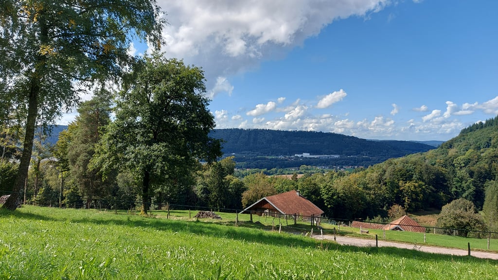
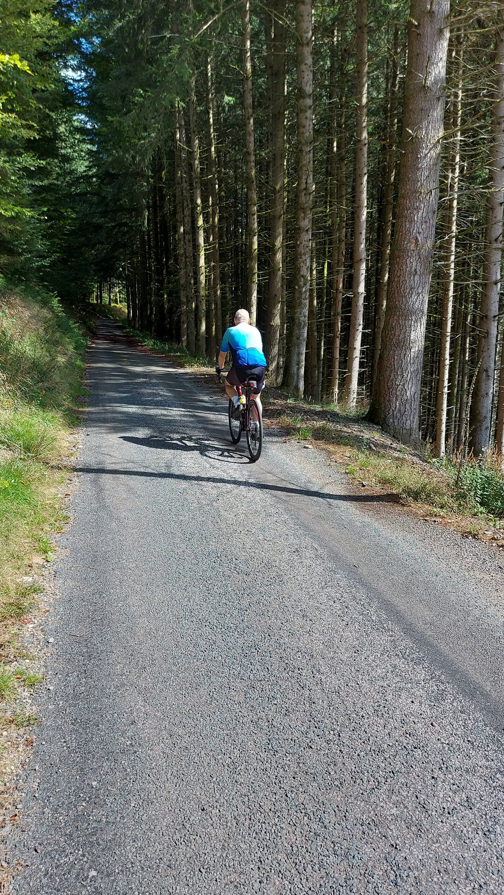
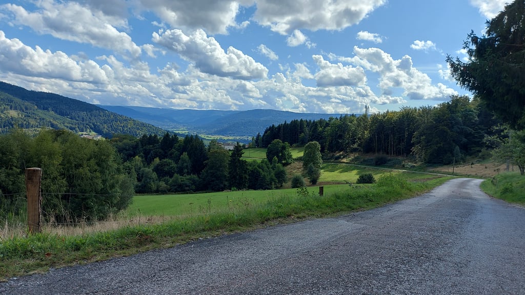
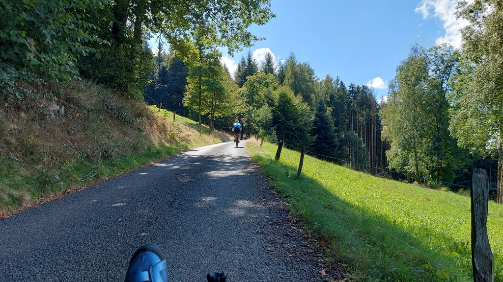
Col du Singe from Eloyes is a climb in the region Vosges. It is 6.5 km long and bridges 322 m of vertical ascent with an average gradient of 5%, resulting in a difficulty score of 240. The top of the ascent is located at 735 m above sea level. Climbfinder users shared 1 review/story of this climb and uploaded 4 photos.
Road names: Chemin de Purifaing & Chemin La Flaconnière Druchanois
3.0 by iceferretVery quiet road - just as well as its narrow. Surface a bit bumpy in upper parts & storms had washed lots of rubble down in places. But very scenic. Initial part is a tough gradient but eases about half way. ... read more
Welcome! Please activate your account if you would like to share something. Look for the verification email in your inbox.
If you want to upload your photos, you need to create an account. It only takes 1 minute and it's completely free.
Very quiet road - just as well as its narrow. Surface a bit bumpy in upper parts & storms had washed lots of rubble down in places. But very scenic. Initial part is a tough gradient but eases about half way.
| 7 km/h | 00:55:23 |
| 11 km/h | 00:35:14 |
| 15 km/h | 00:25:50 |
| 19 km/h | 00:20:24 |
This page is better in the app