Tips nearby


| 3 hairpin turns |
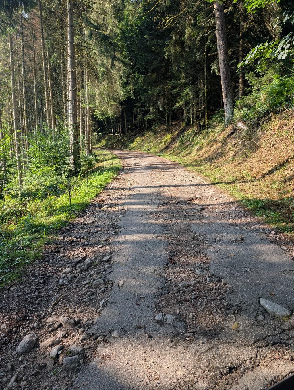
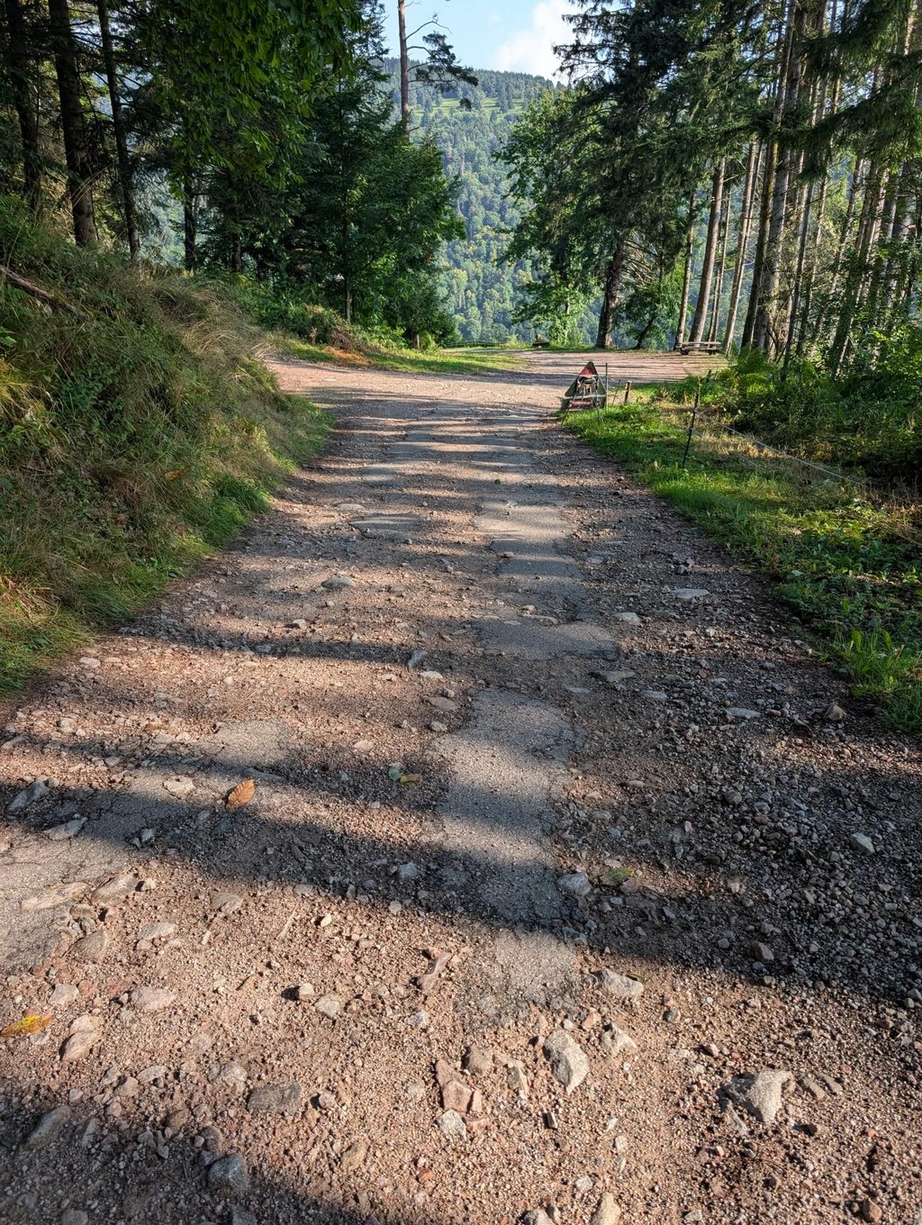
| Bad road |
| #99 average steepest climb of Vosges |
Col du Sattel from Ampfersbach is a climb in the region Upper Rhine. It is 3 km long and bridges 236 m of vertical ascent with an average gradient of 7.9%, resulting in a difficulty score of 203. The top of the ascent is located at 740 m above sea level. Climbfinder users shared 3 reviews of this climb and uploaded 4 photos.
Road name: Chemin du Sattel
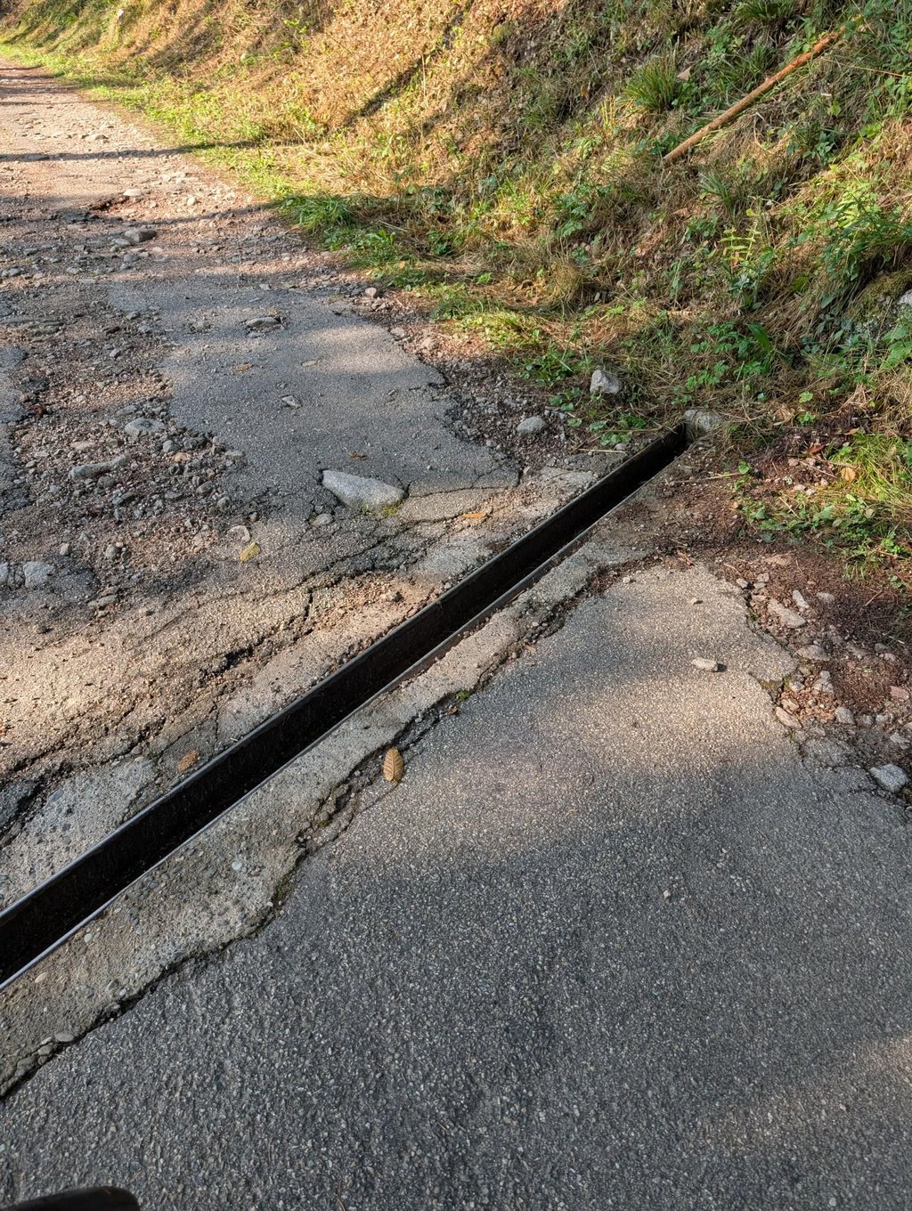
1.0 by Joeri LaureysThis is an automatic translation, the original language is: Dutch.Stay away! This climb is not road bike suitable. As far as I am concerned, it therefore does not belong on climbfinder. As a nice extra, you get drainage slots every few tens of metres over the entire climb. Not recommended... To end on a positive note. There is very little traffic (none!).... read more
Welcome! Please activate your account if you would like to share something. Look for the verification email in your inbox.
If you want to upload your photos, you need to create an account. It only takes 1 minute and it's completely free.
Stay away! This climb is not road bike suitable. As far as I am concerned, it therefore does not belong on climbfinder. As a nice extra, you get drainage slots every few tens of metres over the entire climb. Not recommended...
To end on a positive note. There is very little traffic (none!).
Wegblijven! Deze klim is niet racefiets geschikt. Wat mij betreft, hoort ie dan ook niet thuis op climbfinder. Als leuk extraatje, krijg je om de paar tiental meter nog afwateringsgleuven over gans de klim. Afrader...
Om met een positieve noot te eindigen. Er is wel weinig verkeer (geen!).
This climb is not suitable for road bikes. With a mountain bike, it is challenging. Poor road surface.
Deze beklimming is niet geschikt voor de racefiets. Met een mountainbike is het een uitdaging. Slecht wegdek.
| 7 km/h | 00:25:40 |
| 11 km/h | 00:16:20 |
| 15 km/h | 00:11:58 |
| 19 km/h | 00:09:27 |
This page is better in the app