Tips nearby


| 9 hairpin turns |
| #46 toughest climb of Haute Savoie |
| #17 most elevation gain of Haute Savoie |
| #21 longest climb of Haute Savoie |
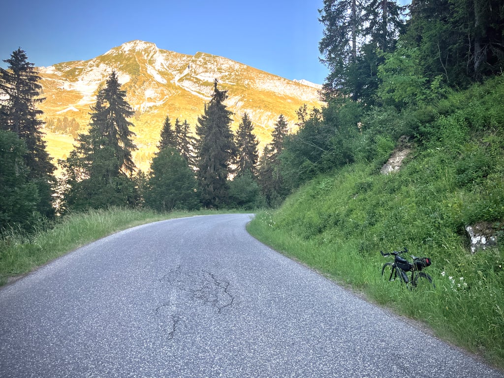
Col de Merdassier from Thônes is a climb in the region Annecy. It is 14.2 km long and bridges 870 m of vertical ascent with an average gradient of 6.1%, resulting in a difficulty score of 654. The top of the ascent is located at 1496 m above sea level. Climbfinder users shared 2 reviews of this climb and uploaded 16 photos.
Road names: Route de Thônes & Route du Col de la Croix Fry
3.0 by CromagnonThis is an automatic translation, the original language is: French.Two mountain passes for the price of one? Sign me up! From Thônes, the Col de Merdassier is a continuation of the Col de la Croix de la Fry. Here’s my review of the first part of the climb: A lovely, challenging climb offering pleasant scenery, but lacking a certain magic. The mountains are sharply defined and elegant, but nothing is truly breathtaking. In fact, I found this pass more appealing on the descent – a descent which, incidentally, is very pleasant. The road surface is good. T... read more

Welcome! Please activate your account if you would like to share something. Look for the verification email in your inbox.
If you want to upload your photos, you need to create an account. It only takes 1 minute and it's completely free.
 Continue with Google
 Continue with Facebook
 Continue with Apple
Sign up with email
Continue with Apple
Sign up with email
Two mountain passes for the price of one? Sign me up!
From Thônes, the Col de Merdassier is a continuation of the Col de la Croix de la Fry.
Here’s my review of the first part of the climb:
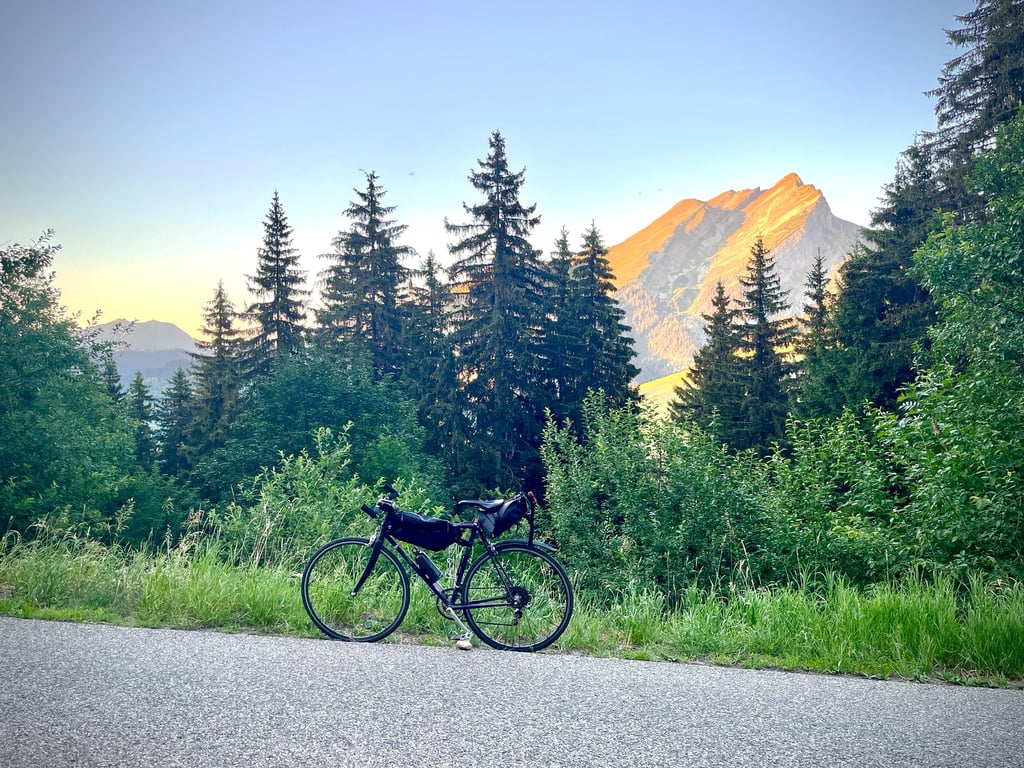
A lovely, challenging climb offering pleasant scenery, but lacking a certain magic. The mountains are sharply defined and elegant, but nothing is truly breathtaking.
In fact, I found this pass more appealing on the descent – a descent which, incidentally, is very pleasant.
The road surface is good. The gradients are fairly standard (often around 7 per cent). A steeper section, signposted at 10 per cent by a marker just past Manigod, is clearly noticeable!
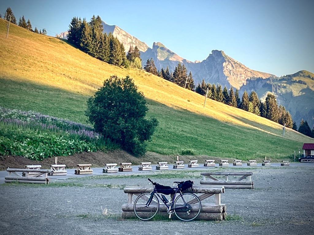
At the top, there’s a huge car park…
It’s rather ugly. We hang about trying to find a presentable photo…
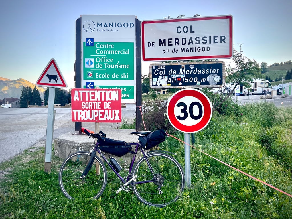
So, we carry on to the Col de Merdassier.
2.5 km on an easy, quiet road in the shade of the trees. It climbs very gently and even descends for a few hectometres. It’s worth noting that the elevation gain between the Croix de Fry and the Merdassier is just 23 metres…
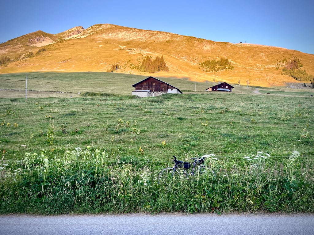
At the top, there are lovely views, a motorhome car park (sic…) and the mountain pastures.
The descent to Thônes is very pleasant.
Deux cols pour le prix d’un ? On prend !
De Thônes, le col de Merdassier est le prolongement du col de la Croix de la Fry.
Je vous remets ici mon commentaire sur la première partie de l’ascension :
Une belle montée sérieuse qui offre des paysages plaisants, mais qui manque de magie. Les montagnes sont ciselées et élégantes, mais rien n’est franchement époustouflant.
D’ailleurs, je l’ai trouvé plus attrayant pendant la descente, ce col. Descente qui d’ailleurs est très agréable.
Le tarmac est bon. Les pourcentages sont assez classiques (souvent aux alentours de 7%). Un passage plus costaud est annoncé à 10% par une borne après Manigod. On le ressent bien !
À l’arrivée, un gigantesque parking…
C’est plutôt moche. On traîne pour trouver une photo présentable…
Alors, on poursuit sur le col de Merdassier.
2,5km sur une route facile et calme soys l’ombre des arbres. Ca monte très mollement et ça descend même sur quelques hectomètres. Il faut dire que le dénivelé entre la Croix de Fry et le Merdassier est de 23 mètres…
En haut, de belles vues, un parking de camping cars (sic…) et les alpages.
La descente sur Thônes est bien agréable.
This col is actually an extension of Col de Croix-Fry.
At the top of the aforementioned, you continue cycling for a good 1.5km to the top of the Merdassier.
This extended section is not that tough there is even a descent in it. In short, easy to tick off and at the top you finish too, so not too busy at the top.
Deze col is eigenlijk het verlengde van Col de Croix-Fry.
Op de top van voornoemde fiets je nog een goede 1,5km door naar de top van de Merdassier.
Dit verlengde stuk is niet zo zwaar er zit zelf een afdaling in. Kortom, makkelijk af te vinken en op de top eindig je ook, dus niet al te druk bovenaan.
| 7 km/h | 02:01:17 |
| 11 km/h | 01:17:10 |
| 15 km/h | 00:56:36 |
| 19 km/h | 00:44:41 |
This page is better in the app