| Beautiful scenery |
| Hidden gem |
| 18 hairpin turns |
| #86 toughest climb of Annecy |
| #86 most elevation gain of Haute Savoie |
| #52 longest climb of Haute Savoie |
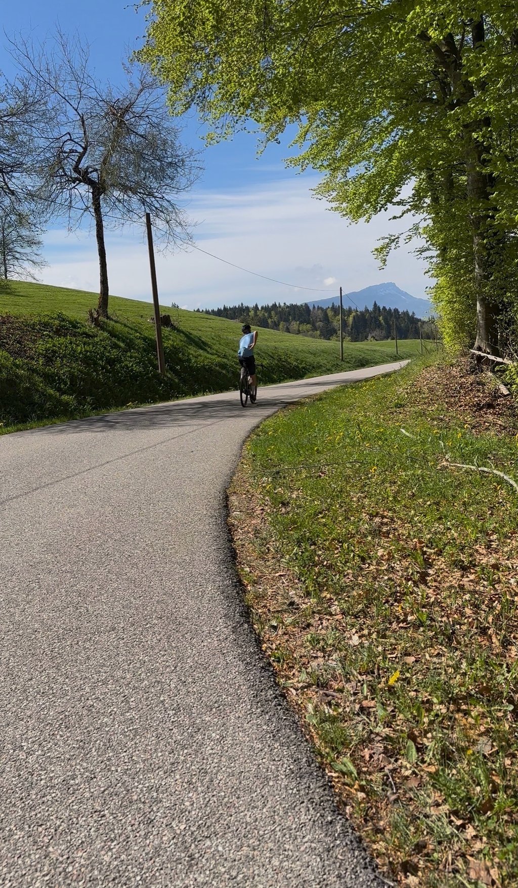
Borny from Saint Jorioz via Le Cruet is a climb in the region Annecy. It is 10.8 km long and bridges 552 m of vertical ascent with an average gradient of 5.1%, resulting in a difficulty score of 352. The top of the ascent is located at 942 m above sea level. Climbfinder users shared 8 reviews of this climb and uploaded 11 photos.
Road name: D10
4.0 by NIMUne montée agréable et champêtre et, fait rare autour d’Annecy, avec assez peu de voitures. Quelques beaux lacets et de jolis points de vue sur le lac d’Annecy. Aire de repos nouvellement aménagée une fois en haut au col de Leschaux. Possibilité d’enchaîner avec la montée du Semnoz.... read more

Welcome! Please activate your account if you would like to share something. Look for the verification email in your inbox.
If you want to upload your photos, you need to create an account. It only takes 1 minute and it's completely free.
It's a pleasant, rural climb and, unusually for the Annecy area, there are very few cars. Some nice twists and turns and lovely views of Lake Annecy. Newly laid-out rest area at the top of the Col de Leschaux. Option to continue with the climb to Semnoz.
Une montée agréable et champêtre et, fait rare autour d’Annecy, avec assez peu de voitures. Quelques beaux lacets et de jolis points de vue sur le lac d’Annecy. Aire de repos nouvellement aménagée une fois en haut au col de Leschaux. Possibilité d’enchaîner avec la montée du Semnoz.
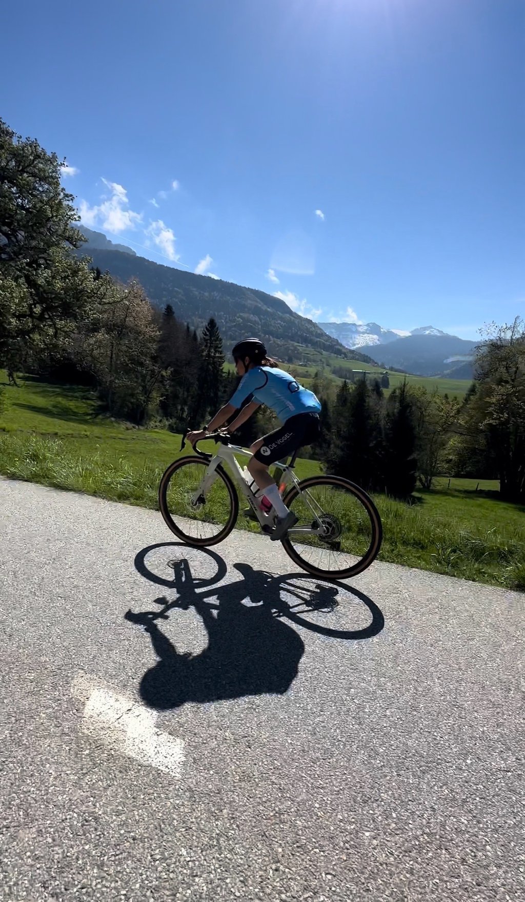
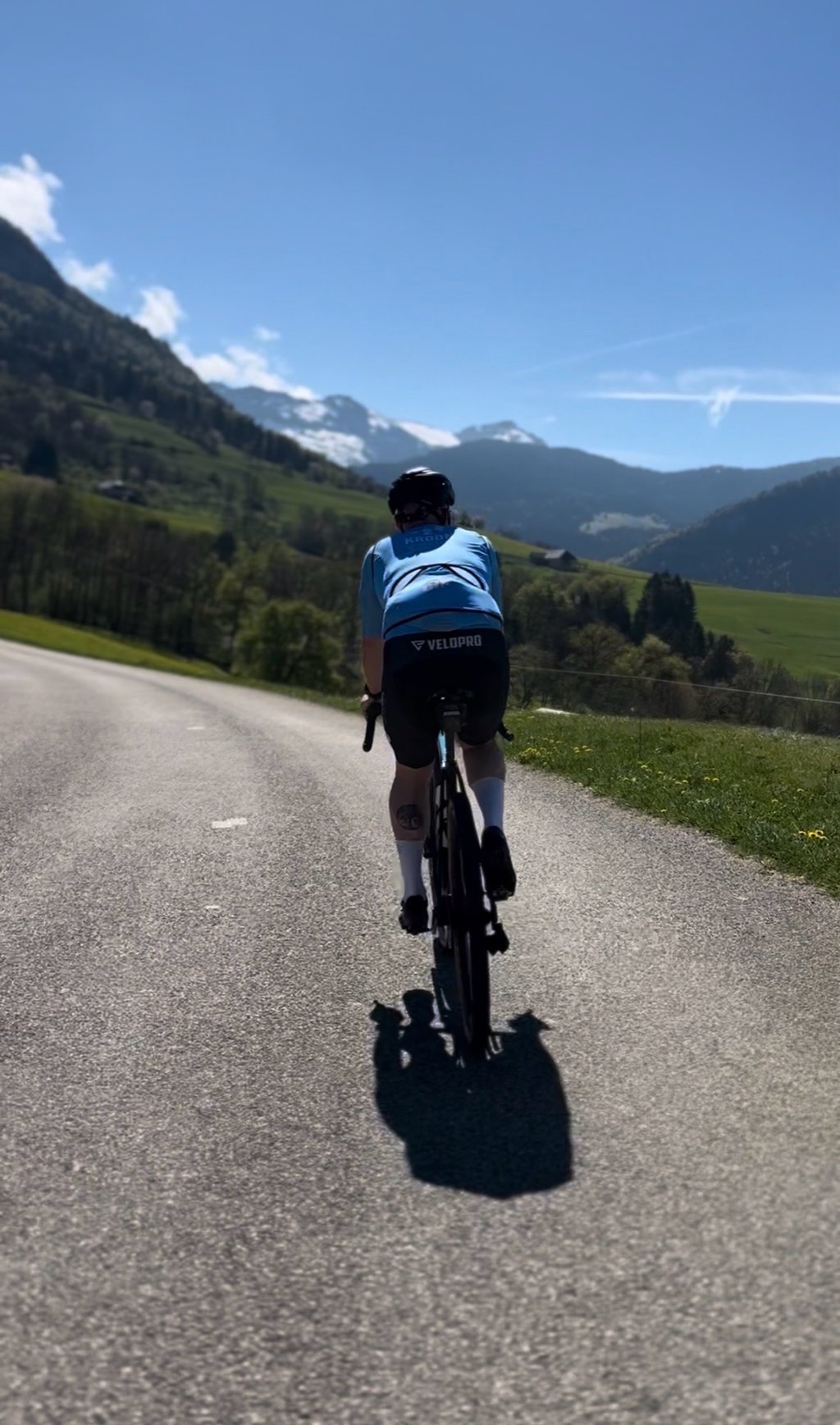
A nice moderate difficulty ride. Pretty consistent 6-7% incline throughout, apart from one small downhill in between. Beautiful scenery and views of the lake. Mostly through pastureland. Went at 9:00am on a Sunday in September and there were very few cars, which was nice. There is a nice roadside cafe for a coffee and croissant in the small village of La Chapelle Saint-Maurice, above Saint-Eustache. The return to Sevrier from the other side of the Col de Leschaux was great fun.
A variant that falls back onto the Col de Leschaux, but harder, but more discreet. Some scenery and views of the lake from the start once you start to climb a little.
Variante qui retombe sur le col de leschaux, mais plus dure, mais plus discrète. Quelques paysages et vue sur le lac des le début une fois que l’on a commencer à s’élever un peu.
A beautiful climb on a beautiful road. Once at the top, you can prolong the pleasure by continuing to climb to the top of the Semnoz.
Une belle ascension sur une belle route. Une fois en haut, on peut prolonger le plaisir en continuant à monter jusq'en haut du Semnoz.
On the road to the Bauges massif crossing from St Jorioz to St Pierre D'Albigny via the Frêne pass.
No big slopes but a length of almost 13Km.
For a long time the drinking water basin at the top was used by many cyclists but since 2011 a new owner has forbidden access to it as it is on private land.
Sur la route de la traversée du massif des Bauges qui relie St Jorioz à St Pierre D'Albigny via le col du Frêne.
Pas de grosses pentes mais une longueur de presque 13Km.
Pendant longtemps le bassin d'eau potable au sommet accueillait les nombreux cyclistes mais depuis 2011 un nouveau propriétaire en interdit l'accès car il est en terrain privé.
Very nice climb on a nice road. Nice views on the lake of Annecy. The gradients are not difficult.
Très belle montée sur une belle route. Belles vues sur le lac d'Annecy. Les pourcentages ne sont pas difficiles.
This climb is doable, not very exciting. Nice view from time to time over the lake of Annecy. Combined with the Semnoz behind definitely a must.
Deze beklimming is goed te doen, niet heel spannend. Wel mooi uitzicht van tijd tot tijd over het meer van Annecy. Gecombineerd met de Semnoz erachteraan zeker een aanrader
After a long day, everything is heavy. Especially after having had a shower. The climb is beautiful. But mainly necessary to not take the same road back to Aix les Bains. From the top, a very long descent to Aix, with a small bend.
Na een lange dag is alles zwaar. Zeker na een bui over je heen te hebben gehad. De klim is wel mooi. Maar vooral noodzakelijk om niet over dezelfde weg terug naar Aix les Bains te gaan. Vanaf de top een hele lange afdaling naar Aix, met nog een klein knikje.
| 7 km/h | 01:32:53 |
| 11 km/h | 00:59:06 |
| 15 km/h | 00:43:21 |
| 19 km/h | 00:34:13 |
This page is better in the app