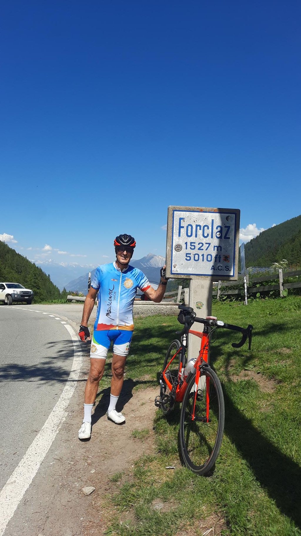
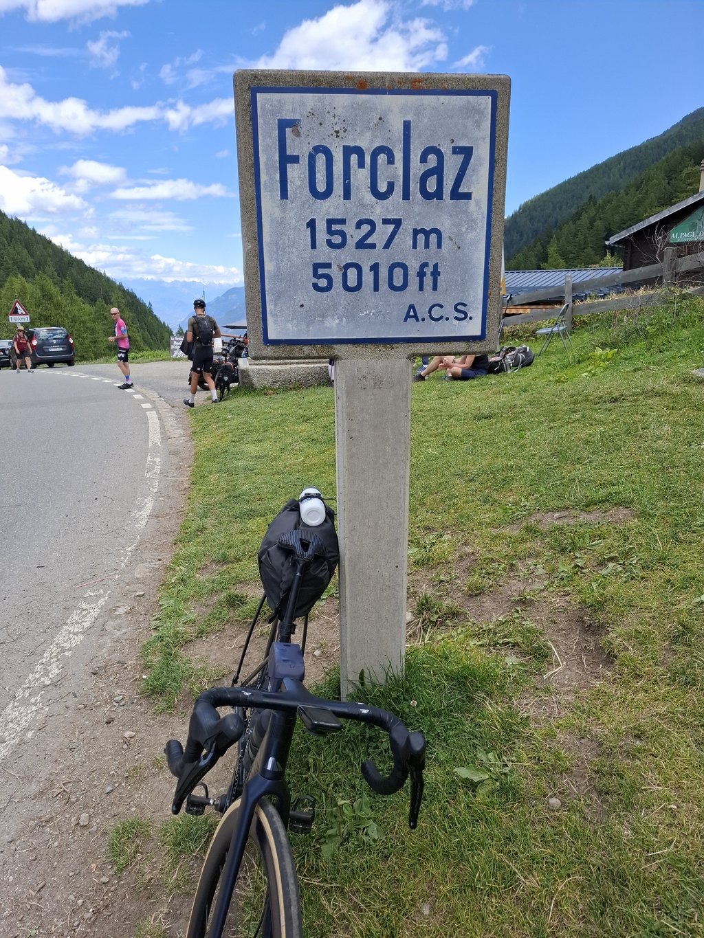
Col de la Forclaz from Le Châtelard is a climb in the region Valais. It is 7.1 km long and bridges 437 m of vertical ascent with an average gradient of 6.1%, resulting in a difficulty score of 329. The top of the ascent is located at 1530 m above sea level. Climbfinder users shared 5 reviews of this climb and uploaded 6 photos.
Road names: Route Cantonale & 203
3.0 by LucJansenThis is an automatic translation, the original language is: Dutch.Climbed on 19 June 2026 during a heatwave. A lovely climb, undertaken after tackling the Col des Montets from Chambéry. Part of the Tour du Mont Blanc. So there were plenty of hikers and cyclists, but also quite a few cars. The first section (4 km) was manageable and offered regular lovely views. The second section (3.5 km) was a bit tougher and steeper, with hairpin bends. A proper workout. At the summit, there’s a restaurant and a small shop selling (chilled) water at Swiss prices (50 cc fo... read more
Welcome! Please activate your account if you would like to share something. Look for the verification email in your inbox.
If you want to upload your photos, you need to create an account. It only takes 1 minute and it's completely free.
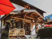
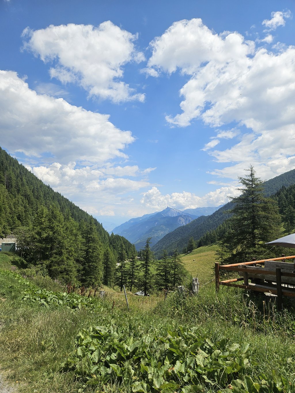
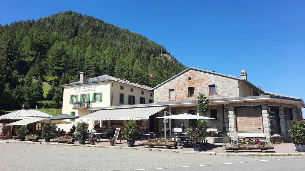
Climbed on 19 June 2026 during a heatwave. A lovely climb, undertaken after tackling the Col des Montets from Chambéry. Part of the Tour du Mont Blanc. So there were plenty of hikers and cyclists, but also quite a few cars. The first section (4 km) was manageable and offered regular lovely views. The second section (3.5 km) was a bit tougher and steeper, with hairpin bends. A proper workout. At the summit, there’s a restaurant and a small shop selling (chilled) water at Swiss prices (50 cc for 4.50 euros). From the col, there’s also a lovely view towards Switzerland. The descent is fast, so take care.
Beklommen op 19 juni 2026 tijdens hittegolf. Mooie beklimming , na de Col des Montets vanuit Chambery gedaan te hebben. Deel van Ronde rond de Mnt Blanc. Dus veel trekkers en wielrenners, maar ook wel autos. Eerste deel (4 km) goed te doen en regelmatig met mooi uitzicht. Tweede deel (3,5 km) wat pittiger en steiler met haarspeldbochten. Stevig werk. Op de top een restaurant en winkeltje met water (gekoeld) voor zwitserse prijzen (50 cc voor 4,50 euro). Op de col ook mooi uitzicht richting Zwitserland. Afdaling snel , oppassen dus.
Deze klim moet je er gewoon bijnemen als je terugkomt van de barrage d'emosson. Niets aan te doen ... niets speciaal aan ... geen mooi zicht behalve boven dan ...
I did this climb while bikepacking from Cluses towards Martigny. I thought this climb was fine. There is indeed some traffic, but I didn't find it distracting. It is really a runner and leads through a nice forest with views of the surrounding mountains here and there. The descent on the other side of the Forclaz is terribly fast, great fun!
Ik heb deze klim gedaan tijdens een bikepacking van Cluses richting Martigny. Ik vond deze klim wel prima. Er is inderdaad wat verkeer, maar ik vond het niet storend. Het is echt een loper en voert door een mooi bos met her en der zicht op de omringende bergen. De afdaling aan de andere kant van de Forclaz is vreselijk snel, dikke fun!
Ridden this climb on the way back towards Martigny, after first climbing Barrage Emosson. This climb is not very special and is probably only a connecting route.
Deze klim op de terugweg gereden richting Martigny, na eerst Barrage Emosson beklommen te hebben. Deze klim is weinig bijzonder en pak je allicht enkel mee als verbindingsweg.
Short climb with a water stop in Trient, nothing too difficult. Traffic might be a no-no, on the same day I had two close calls with an incoming car that was attempting a pass — going in both directions and in the same spot (between Trient and Châtelard).
The descent towards Martigny is worthwhile, though: great views and great road.
| 7 km/h | 01:01:12 |
| 11 km/h | 00:38:56 |
| 15 km/h | 00:28:33 |
| 19 km/h | 00:22:32 |
This page is better in the app