View on map
© MapLibre | OpenStreetMap contributors
1%
2%
4%
6%
8%
10%
12%
15%
20%

Col de la Forclaz from Martigny

3.3
6 reviews | Elevation profile | 7 photos
Tips nearby
Col de la Forclaz from Martigny
transparant thumb
Your achievable time
Calculating based on your best performances...
Relaxed
Maximum
W/kg
W/kg
W/kg
Analyse your climbing performance
Detailed insight into your climbing performance & automatically check off climbs
Based on your best performances.
Your best attempt:
Number of attempts:
Elevation profile Col de la Forclaz from Martigny

Statistics

Difficulty points 842
Length 13 km
Average gradient 7.9%
Steepest 100 metres 11.1%
Total ascent 1026 m

Short recap

5 hairpin turns
#65 toughest climb of Valais
#58 most elevation gain of Valais
#72 longest climb of Valais
#59 average steepest climb of Valais
Feedback about this climb?
Show climbs nearby Export to GPS device

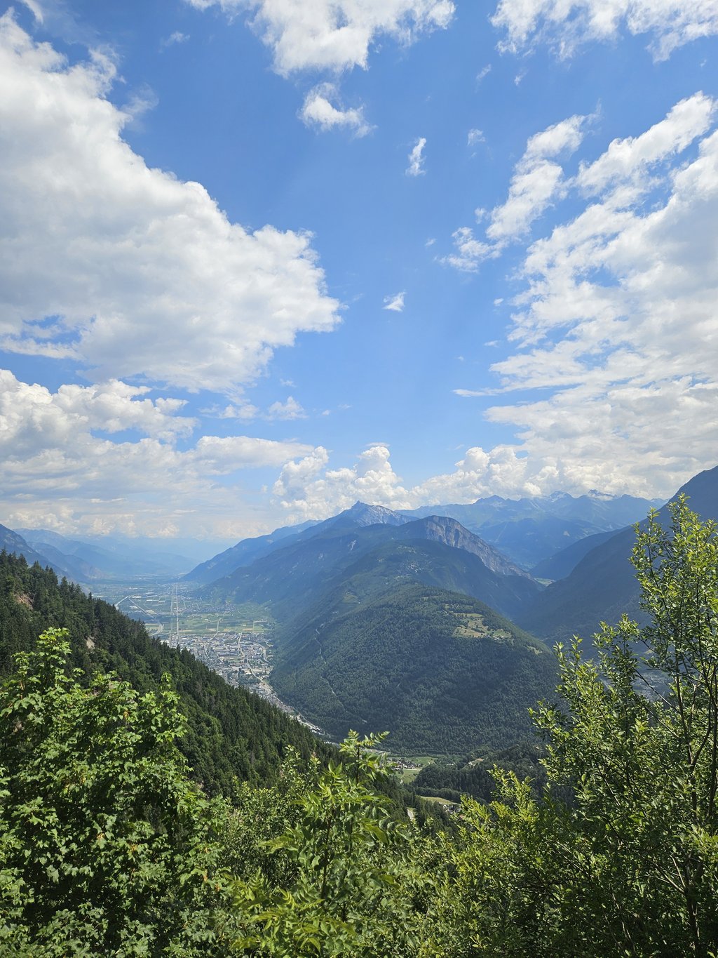
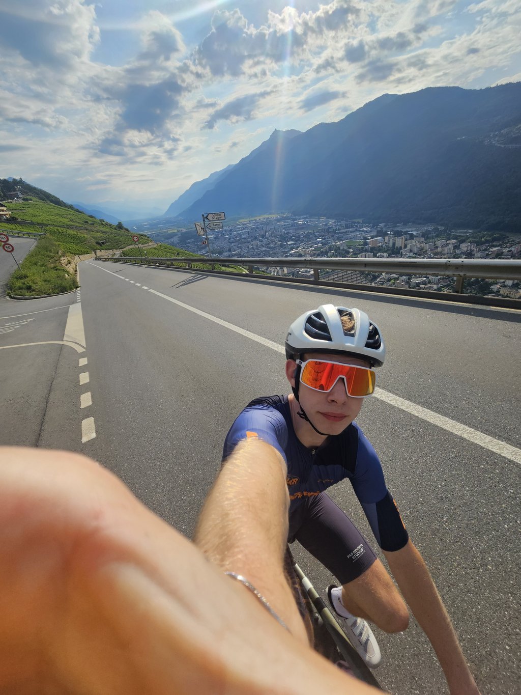
Col de la Forclaz from Martigny is a climb in the region Valais. It is 13 km long and bridges 1026 m of vertical ascent with an average gradient of 7.9%, resulting in a difficulty score of 842. The top of the ascent is located at 1529 m above sea level. Climbfinder users shared 6 reviews of this climb and uploaded 7 photos.

Road name: Route de la Forclaz

by Sytse
This is an automatic translation, the original language is: Dutch.
The best part of this col is the descent to Martigny! What a party!... read more

Photos (7)

Col de la Forclaz from Martigny
transparant thumb
transparant thumb
transparant thumb
transparant thumb
transparant thumb

Your uploads (max 4)

Welcome! Please activate your account if you would like to share something. Look for the verification email in your inbox.

If you want to upload your photos, you need to create an account. It only takes 1 minute and it's completely free.

  • Receive free climbfinder goodies for your reviews & photos.
  • Create a bucket list and check off conquered climbs.
  • Add missing climbs.
Continue with GoogleContinue with Google Continue with FacebookContinue with Facebook Continue with AppleContinue with Apple Sign up with email
By signing up you agree to our terms of service and confirm that you have read our privacy & content policy.

Reviews (6)

5.0
4.0
3.0
2.0
1.0
drheff
8 Mo 2.0

In summer really warm going through the vinyards and the traffic was horrible when I went. Lots of motorbikes and large lorries, yikes

Dashboard
PetraVDB
9 Mo 4.0 via the Climbfinder app

Zeer mooie geleidelijke klim, zeker de eerste 3 km door de wijngaarden zijn prachtig. In de zomer kan het heel warm zijn. Ook wel druk jammer genoeg, daarom geen 5 sterren.

Dashboard
PetraVDB
9 Mo 4.0 via the Climbfinder app

Zeer mooie klim, zeker de eerste 3 km tussen de wijngaarden. Kan zeer warm zijn in de zomer. Helaas ook wel druk.

Col de la Forclaz from Martigny
Dashboard
LorenzoGbr
1 y 3.0

Super regular climb on the way to Chamonix/Emosson, great views, but it can be rather busy. Fun downhill!

Dashboard
Random
Sytse
6 y
This is an automatic translation, the original language is: Dutch. Show original

The best part of this col is the descent to Martigny! What a party!

Het mooiste van deze col is de afdaling naar Martigny! Wat een feest!

Dashboard
Random
Daan Loeffen
7 y
This is an automatic translation, the original language is: Dutch. Show original

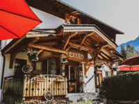
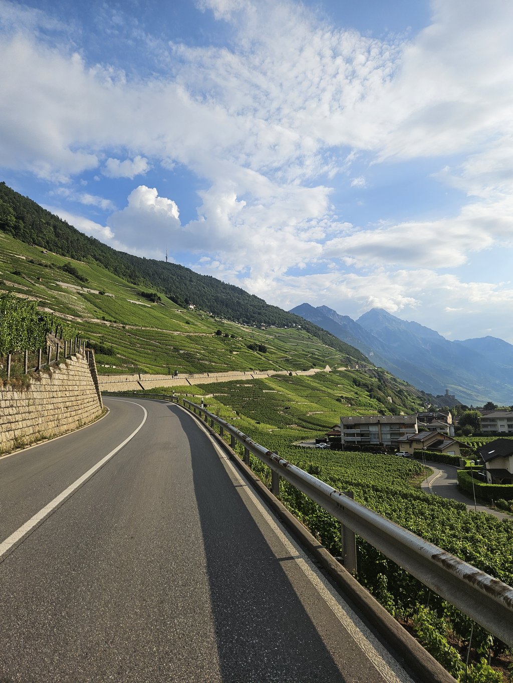
A beautiful climb from the rather ugly Martigny, where it should be noted that the first 4 km there is little or no shelter. Since this climb is on the windward side of the Alps, the temperature can rise significantly in summer. Make sure you have full bottles when you start. Furthermore, a beautiful runner with certainly in the beginning beautiful views over the valley below. On top is a restaurant, but also a tap where you can fill up for free.

Een mooie klim vanuit het nogal lelijke Martigny, waarbij moet opgemerkt worden dat de eerste 4 kilometer niet of nauwelijks beschutting te vinden is. Aangezien deze klim aan de loef-zijde van de alpen ligt, kan de temperatuur flink oplopen in de zomer. Zorg dus voor volle bidons als je begint. Verder een mooie loper met zeker in het begin mooie vergezichten over de vallei eronder. Bovenop zit een restaurantje, maar ook een kraantje waar je gratis bij kan vullen.

Dashboard

Climbing times

7 km/h 01:51:23
11 km/h 01:10:53
15 km/h 00:51:59
19 km/h 00:41:02

Road surface condition

92% 0% 8%
Based on 12 votes
Share your knowledge. What was the road condition during your ascent?

Traffic

9% 36% 55%
Based on 11 votes
Your experience counts. How much traffic did you encounter during the climb?

Frequently Asked Questions

Col de la Forclaz can be cycled from 3 sides. Col de la Forclaz from Le Châtelard is the most popular side, but the summit can also be reached via Col de la Forclaz from La Croix & Col de la Forclaz from Martigny.

Col de la Forclaz from Martigny is a challenging ascent. For this type of climbing, we recommend mountain gearing, specifically a compact system. This means a small front chainring of 34 teeth, combined with a rear cassette where, depending on your level, strength, and experience, you choose a sprocket with 30, 32, or even 34 teeth. Remember that a smooth cadence is always more efficient!

Col de la Forclaz from Martigny is a first-category climb: long and tough. Do not underestimate this climb. Many famous Tour de France cols fall into this category. Prepare for a long, challenging ride. Only well-trained riders will reach the top smoothly. Make sure you have a road bike with climbing gears and enough training; otherwise, it will be a struggle.

Col de la Forclaz from Martigny is 13 km long.

The average gradient of Col de la Forclaz from Martigny is 7.9%.

Col de la Forclaz from Martigny has a steepest segment with an average gradient of 11.1%.

The summit of Col de la Forclaz from Martigny is at 1529 m.

At a slow pace of 7 km/h, it takes about 01:51:23 to climb Col de la Forclaz from Martigny. At 11 km/h the time is 01:10:53, and at 15 km/h 00:51:59. For the fastest cyclists, 00:41:02 is an achievable time.

Col de la Forclaz from Martigny is located in the region Valais in Switzerland.

This page is better in the app

Climbfinder app
Climbfinder
(Free)
Open