| 8 hairpin turns |
| #31 toughest climb of Pyrénées-Orientales |
| #28 most elevation gain of Pyrénées-Orientales |
| #48 longest climb of Pyrénées-Orientales |
| #25 average steepest climb of Pyrénées-Orientales |
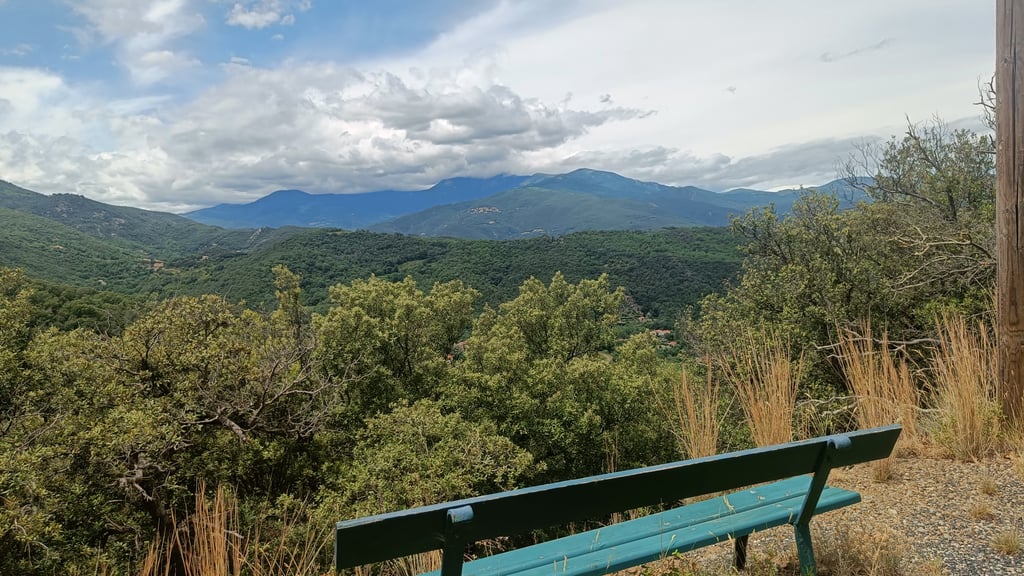
Col de la Brousse from Céret is a climb in the region Pyrénées-Orientales. It is 9.8 km long and bridges 683 m of vertical ascent with an average gradient of 6.9%, resulting in a difficulty score of 512. The top of the ascent is located at 862 m above sea level. Climbfinder users shared 2 reviews of this climb and uploaded 4 photos.
Road name: D13F
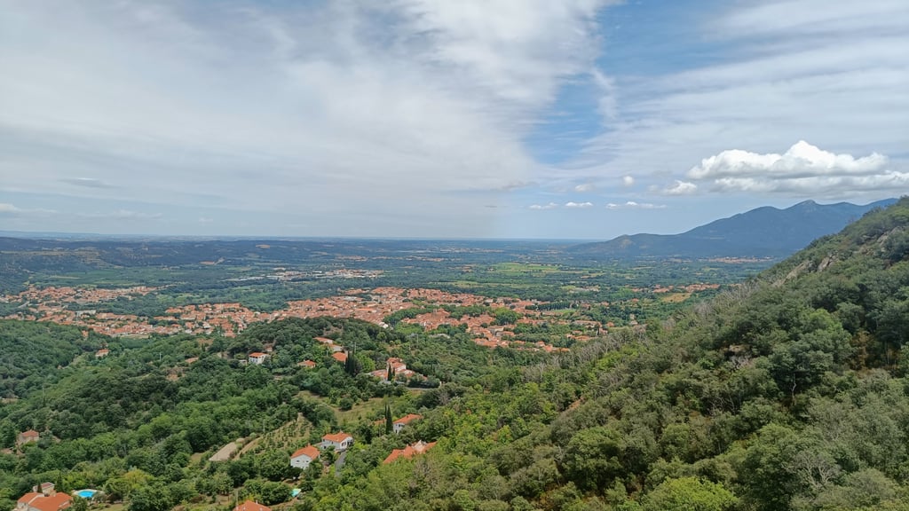
3.0 by Laurent32This is an automatic translation, the original language is: French.Climbed the pass on 08/04/2023. Superb surface until the end of the village of Ceret (a pity it doesn't continue like this...) then correct surface. Nice, quiet and regular climb. Just like on the Ouillat pass, green and white mile markers show you the altitude and the average percentage to come. A long descent to Maureillas-Las-Illas.... read more
Welcome! Please activate your account if you would like to share something. Look for the verification email in your inbox.
If you want to upload your photos, you need to create an account. It only takes 1 minute and it's completely free.
Climbed the pass on 08/04/2023.
Superb surface until the end of the village of Ceret (a pity it doesn't continue like this...) then correct surface.
Nice, quiet and regular climb.
Just like on the Ouillat pass, green and white mile markers show you the altitude and the average percentage to come.
A long descent to Maureillas-Las-Illas.
Col monté le 08/04/2023.
Superbe revêtement jusqu'à la sortie du village de Ceret (dommage que cela ne continue pas ainsi...) puis revêtement correct.
Montée sympa, calme et régulière.
Tout comme sur le col de l'Ouillat, des bornes kilométriques vertes et blanches vous indiquent l'altitude et le pourcentage moyen à venir.
Longue descente jusqu'à Maureillas-Las-Illas.
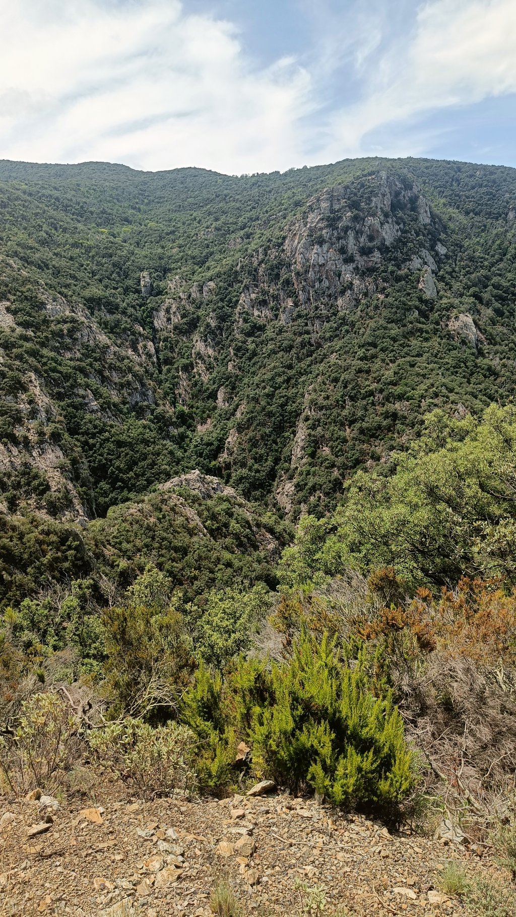
Nice climb and narrow road. In the summer it can be very hot here because there is little shade. Fairly many hairpin bends which always makes it more fun, no real outliers in terms of gradients. The passage to Spain is special, note that this road is then partially gravel after Las Illas.
Mooie klim over en smalle weg. In de zomer kan het hier goed heet worden omdat er weinig schaduw is. Redelijk veel haarspeldbochten wat het altijd leuker maakt, Geen echte uitschieters vwb stijgingspercentages. De doorsteek naar Spanje is speciaal, let wel op deze weg is dan gedeeltelijk gravel na las Illas .!
| 7 km/h | 01:24:24 |
| 11 km/h | 00:53:42 |
| 15 km/h | 00:39:23 |
| 19 km/h | 00:31:05 |
This page is better in the app