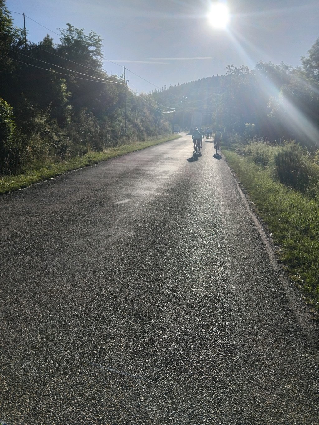
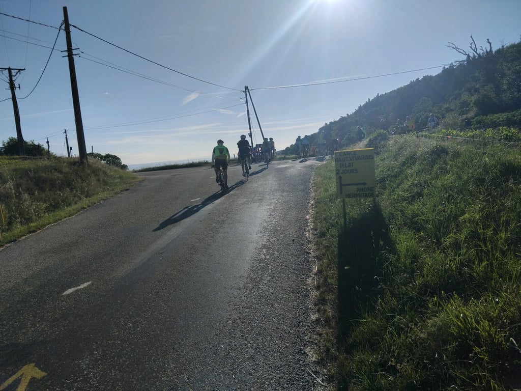
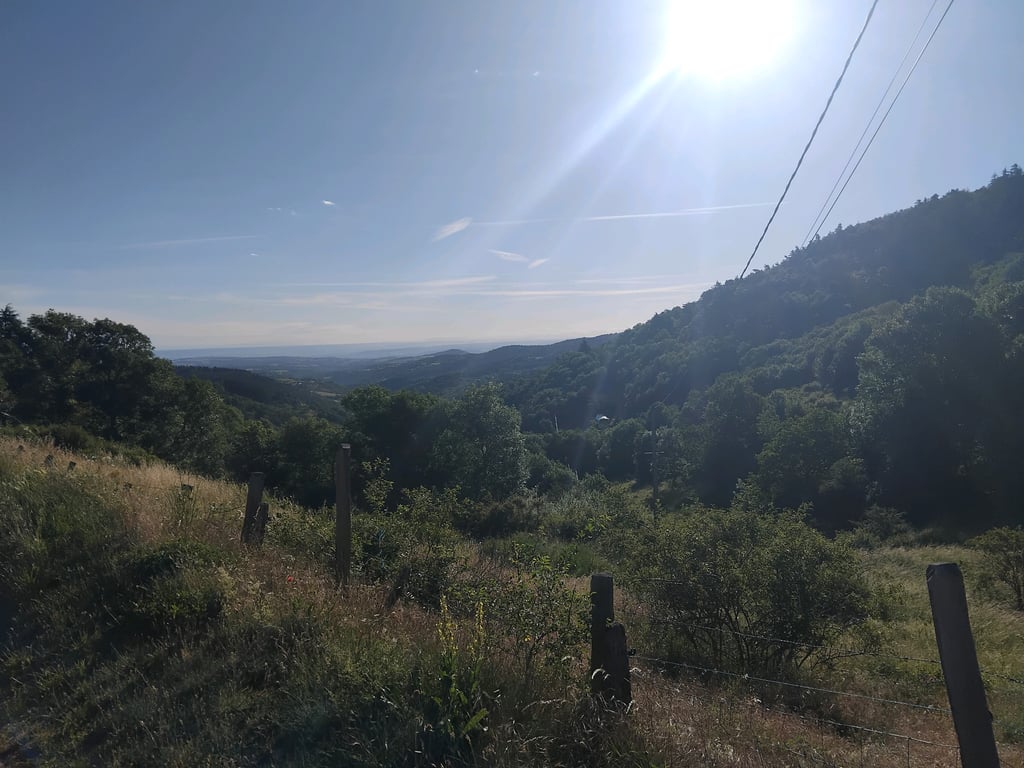
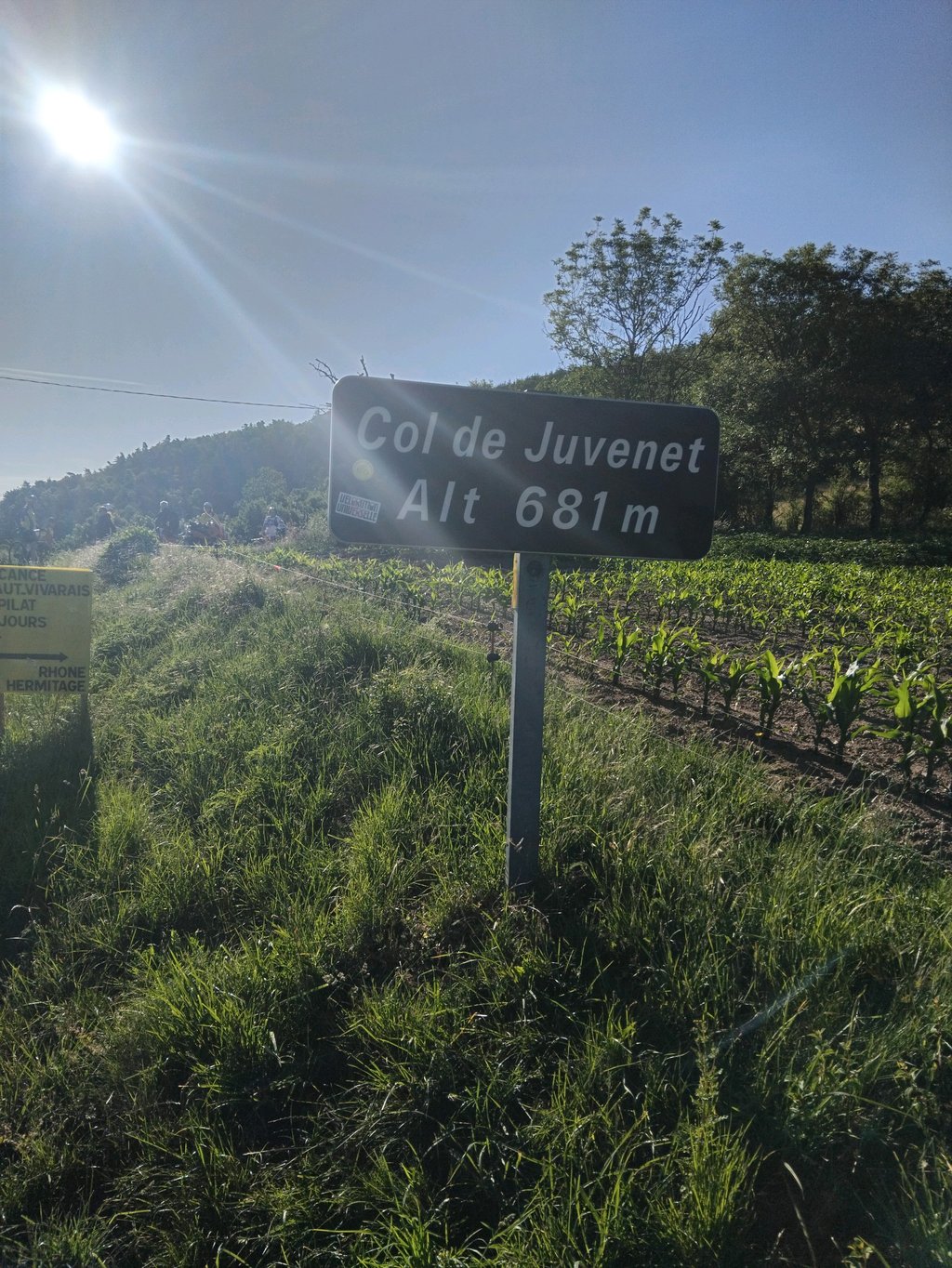
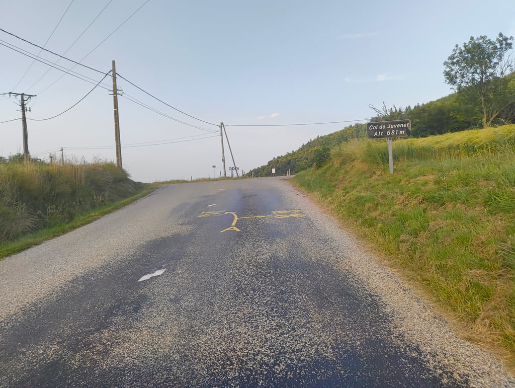
Col de Juvenet is a climb in the region Ardèche. It is 5.1 km long and bridges 158 m of vertical ascent with an average gradient of 3.1%, resulting in a difficulty score of 64. The top of the ascent is located at 680 m above sea level. Climbfinder users shared 2 reviews of this climb and uploaded 6 photos.
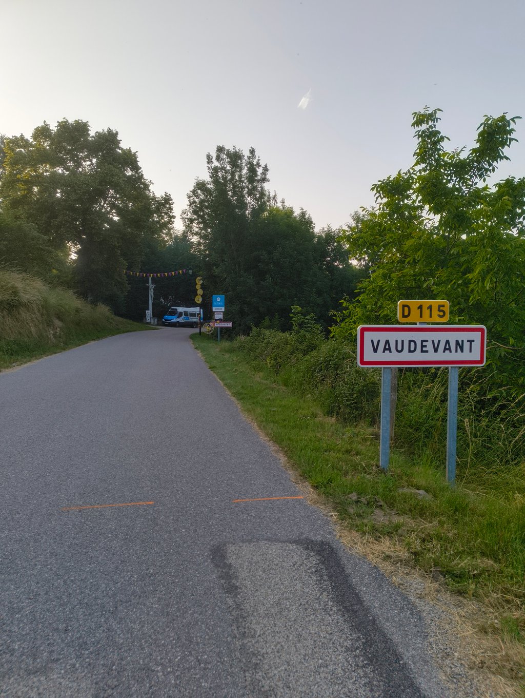
Road name: D115
2.0 by AntoineThis is an automatic translation, the original language is: French.Climbed during the 2026 ardechoise, this first ascent is a good way of getting into the swing of things for the rest of the race.... read more
Welcome! Please activate your account if you would like to share something. Look for the verification email in your inbox.
If you want to upload your photos, you need to create an account. It only takes 1 minute and it's completely free.
Climbed during the 2026 ardechoise, this first ascent is a good way of getting into the swing of things for the rest of the race.
Montée réalisée lors de l'ardechoise 2026, cette première montée permet de ce mettre en jambe en bu de la suite
| 7 km/h | 00:43:34 |
| 11 km/h | 00:27:43 |
| 15 km/h | 00:20:20 |
| 19 km/h | 00:16:03 |
This page is better in the app