Chemin du Belvédère is a climb in the region Drôme. It is 3.8 km long and bridges 179 m of vertical ascent with an average gradient of 4.8%, resulting in a difficulty score of 115. The top of the ascent is located at 281 m above sea level. Climbfinder users shared 1 review/story of this climb and uploaded 2 photos.
Road names: Route de Bollène & Route du Belvédère
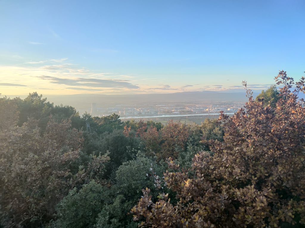
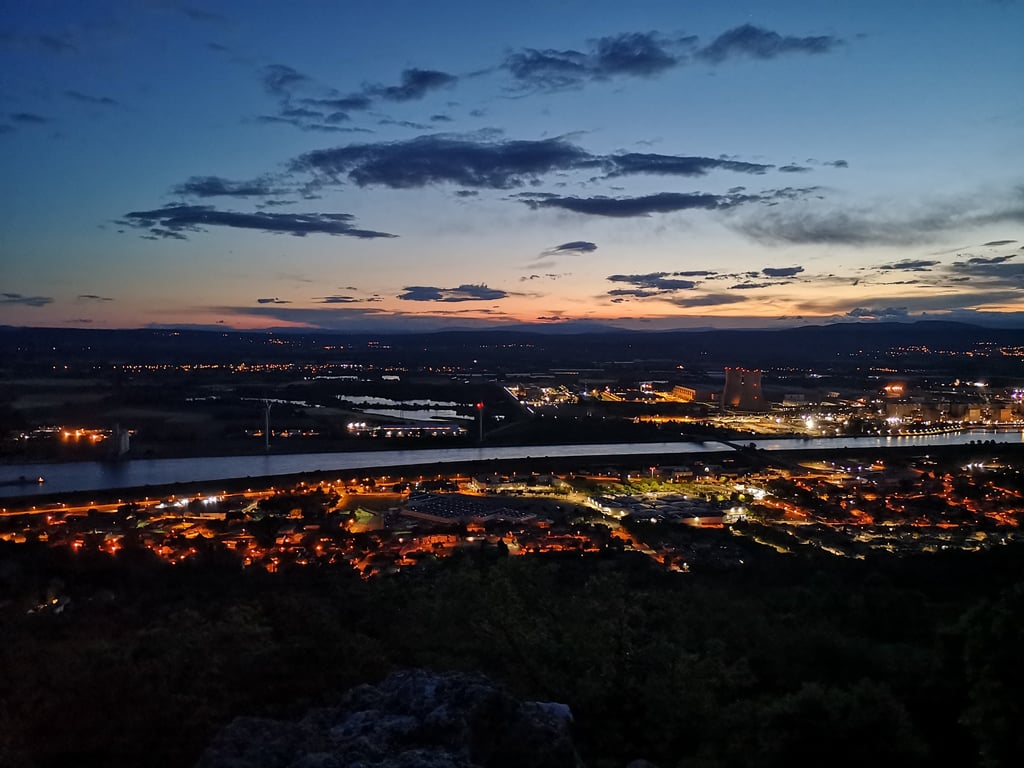
3.0 by The_ClimbinatorThis is an automatic translation, the original language is: French.This is most certainly the climb in the direct vicinity of Bollène with the greatest difference in altitude. The footing is quite demanding, with one section at 10%, but the gradient softens thereafter. The surface is in decent condition, there is little traffic, and the scenery is pretty. Once you reach the Belvedere, you have a bird's eye view of the Tricastin plain and Pierrelatte.... read more
Welcome! Please activate your account if you would like to share something. Look for the verification email in your inbox.
If you want to upload your photos, you need to create an account. It only takes 1 minute and it's completely free.
This is most certainly the climb in the direct vicinity of Bollène with the greatest difference in altitude. The footing is quite demanding, with one section at 10%, but the gradient softens thereafter. The surface is in decent condition, there is little traffic, and the scenery is pretty. Once you reach the Belvedere, you have a bird's eye view of the Tricastin plain and Pierrelatte.
Il s'agit très certainement de la montée à proximité directe de Bollène avec le plus de dénivelé. Le pied est assez exigeant, avec un passage à 10%, mais la pente s'adoucit par la suite. Le revêtement est dans un état correct, il y a peu de circulation, et le paysage est joli. Un fois arrivé au Belvédère, on a une vue plongeante sur la plaine du Tricastin et Pierrelatte.
| 7 km/h | 00:32:08 |
| 11 km/h | 00:20:27 |
| 15 km/h | 00:15:00 |
| 19 km/h | 00:11:50 |
This page is better in the app