View on map
© MapLibre | OpenStreetMap contributors
1%
2%
4%
6%
8%
10%
12%
15%
20%

Chemin de la Puya

3.0
2 reviews | Elevation profile | 4 photos
Tips nearby
Chemin de la Puya
Chemin de la Puya
Chemin de la Puya
Chemin de la Puya
transparant thumb
transparant thumb
transparant thumb
transparant thumb
Your achievable time
Calculating based on your best performances...
Relaxed
Maximum
W/kg
W/kg
W/kg
Analyse your climbing performance
Detailed insight into your climbing performance & automatically check off climbs
Based on your best performances.
Your best attempt:
Number of attempts:
Elevation profile Chemin de la Puya

Statistics

Difficulty points 66
Length 0.7 km
Average gradient 8.5%
Steepest 100 metres 14.4%
Total ascent 60 m
Feedback about this climb?
Show climbs nearby Export to GPS device

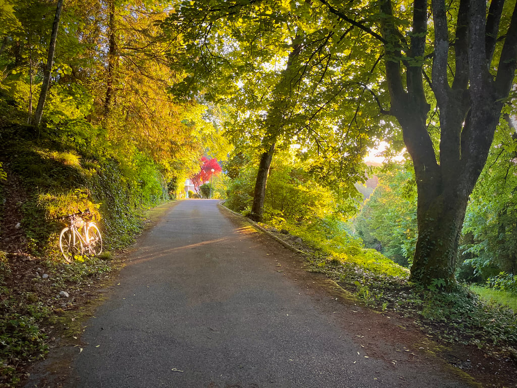
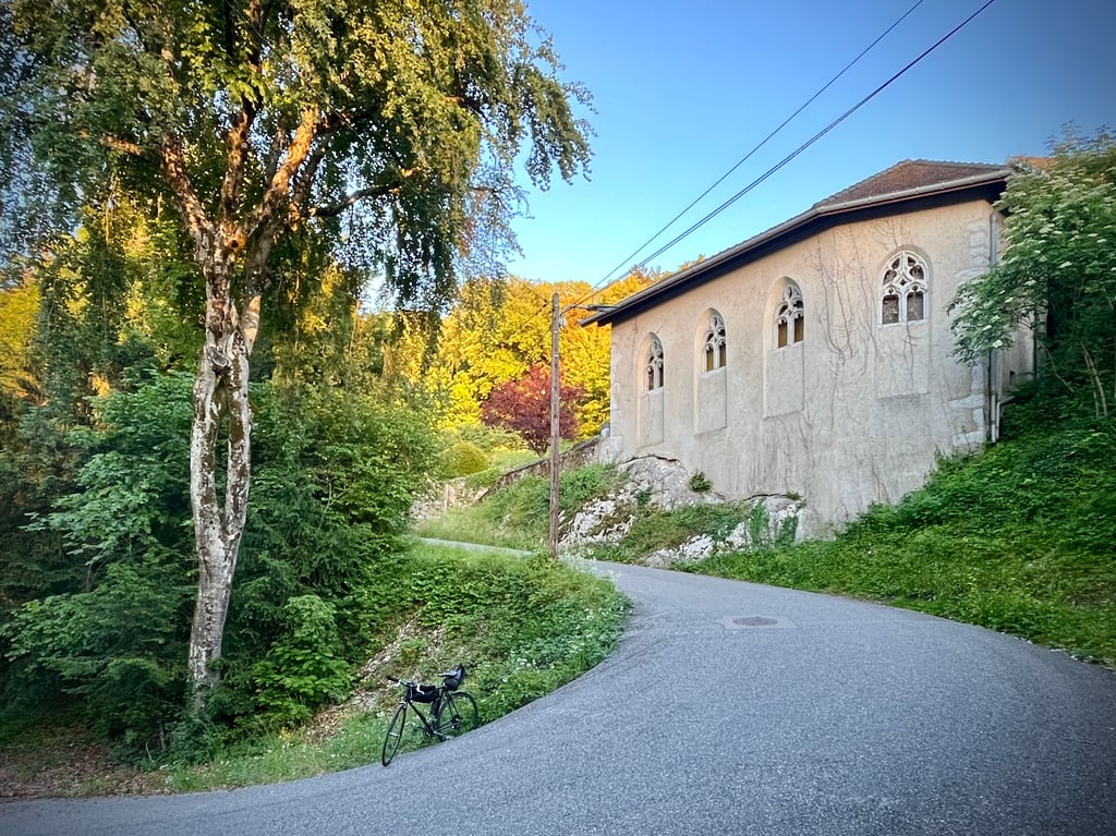
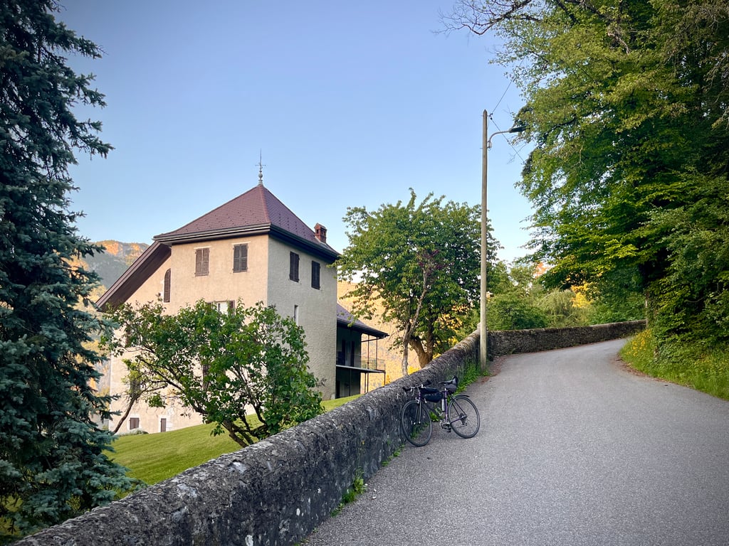
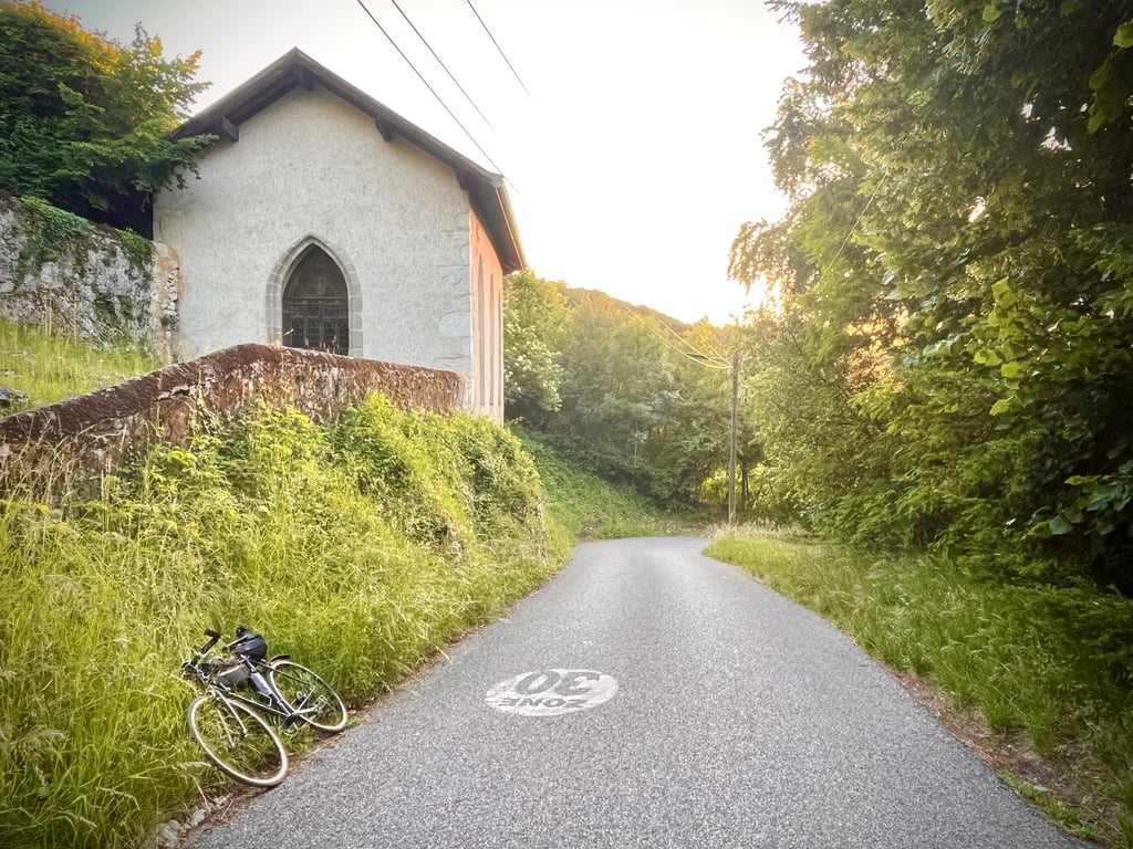
Chemin de la Puya is a climb in the region Annecy. It is 0.7 km long and bridges 60 m of vertical ascent with an average gradient of 8.5%, resulting in a difficulty score of 66. The top of the ascent is located at 508 m above sea level. Climbfinder users shared 2 reviews of this climb and uploaded 4 photos.

Road names: Chemin de Colmyr, Chemin de la Puya & Boulevard de la Corniche

2.0 by Cromagnon
This is an automatic translation, the original language is: French.
A pleasant little climb. Some nice bends. Serious gradients. The feeling of being outside the city. The view of the lake isn't incredible, but it's there. The road is clean and quiet. There's a residence perched high above the lake.... read more

Photos (4)

Chemin de la Puya
Chemin de la Puya
Chemin de la Puya
Chemin de la Puya
transparant thumb
transparant thumb

Your uploads (max 4)

Welcome! Please activate your account if you would like to share something. Look for the verification email in your inbox.

If you want to upload your photos, you need to create an account. It only takes 1 minute and it's completely free.

  • Receive free climbfinder goodies for your reviews & photos.
  • Create a bucket list and check off conquered climbs.
  • Add missing climbs.
Continue with GoogleContinue with Google Continue with FacebookContinue with Facebook Continue with AppleContinue with Apple Sign up with email
By signing up you agree to our terms of service and confirm that you have read our privacy & content policy.

Reviews (2)

5.0
4.0
3.0
2.0
1.0
Cromagnon
1 w 2.0
This is an automatic translation, the original language is: French. Show original

A pleasant little climb. Some nice bends. Serious gradients. The feeling of being outside the city. The view of the lake isn't incredible, but it's there.
The road is clean and quiet. There's a residence perched high above the lake.

Agréable, cette petite montée. De jolis virages. Des pourcentages sérieux. Le sentiment d’être en dehors de la ville. La vue sur le lac n’est pas incroyable, mais elle a l’avantage d’exister.
La route est propre et calme. Là-haut, une résidence perchée qui profite du lac.

Chemin de la Puya
Chemin de la Puya
Chemin de la Puya
Chemin de la Puya
Dashboard
NeverEnough
3 Mo 4.0
This is an automatic translation, the original language is: Dutch. Show original

Nice, steep climb with perfect views of Lac d'Annecy. Perfect crossing towards Annecy campsite and the foot of the Semnoz.

Mooi, steil klimmetje met perfect uitzicht op het Lac d'Annecy. Perfecte doorsteek richting de camping van Annecy en de voet van de Semnoz.

Dashboard

Climbing times

7 km/h 00:05:59
11 km/h 00:03:48
15 km/h 00:02:47
19 km/h 00:02:12

Road surface condition

100% 0% 0%
Based on 1 vote
Share your knowledge. What was the road condition during your ascent?

Traffic

100% 0% 0%
Based on 1 vote
Your experience counts. How much traffic did you encounter during the climb?

Frequently Asked Questions

You don't need special gearing for Chemin de la Puya. The slope isn't long or steep enough to require much shifting down. You can conquer this climb on power alone. However, a compact gearing system with a smallest front chainring of 34 and largest rear sprocket of 28 or 30 is always nice if you enjoy cycling uphill. This helps maintain a smooth cadence.

Chemin de la Puya falls into the 5th category. With good fitness, you can ride it up with speed and power. If you have less training, shift down and climb smoothly.

Chemin de la Puya is 0.7 km long.

The average gradient of Chemin de la Puya is 8.5%.

Chemin de la Puya has a steepest segment with an average gradient of 14.4%.

The summit of Chemin de la Puya is at 508 m.

At a slow pace of 7 km/h, it takes about 00:05:59 to climb Chemin de la Puya. At 11 km/h the time is 00:03:48, and at 15 km/h 00:02:47. For the fastest cyclists, 00:02:12 is an achievable time.

Chemin de la Puya is located in the region Haute Savoie in France.

This page is better in the app

Climbfinder app
Climbfinder
(Free)
Open