| Hidden gem |
| #14 toughest climb of Pays de Herve |
| #33 most elevation gain of Pays de Herve |
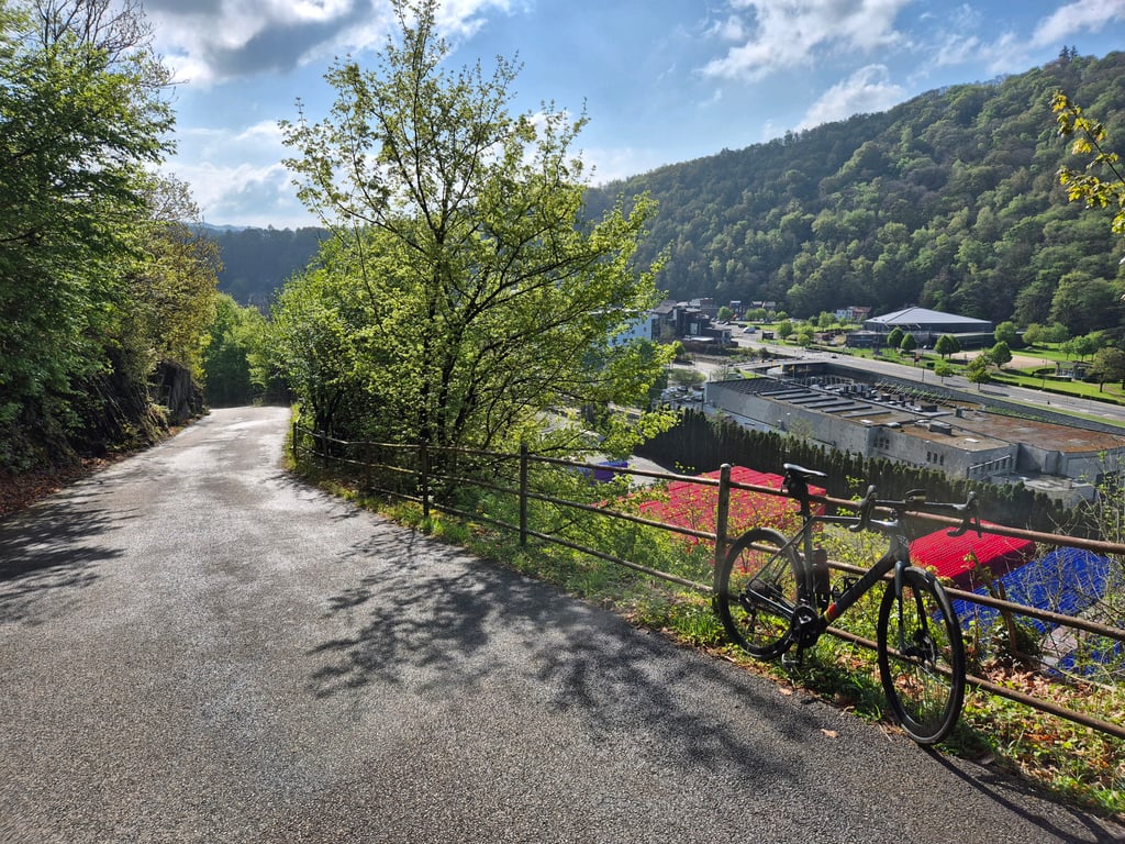
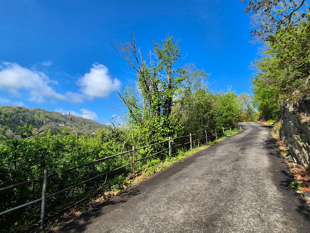
Chemin de la Lemmetrie is a climb in the region Pays de Herve. It is 2.2 km long and bridges 153 m of vertical ascent with an average gradient of 6.9%, resulting in a difficulty score of 145. The top of the ascent is located at 228 m above sea level. Climbfinder users shared 2 reviews of this climb and uploaded 7 photos.
Road names: Chemin de la Lemmetrie & Rue de la Béôle
3.0 by Jba13This is an automatic translation, the original language is: Dutch.The devil is in the beginning of this climb. The road is steep for a few hundred meters. Then the road flattens out and from the junction, the road rises gradually again. Nice to do once, but the climb is not as good as the other two variants: Rue de la Pierre Blanche (more difficult) and Cote de la Casmatrie (more fun).... read more
Welcome! Please activate your account if you would like to share something. Look for the verification email in your inbox.
If you want to upload your photos, you need to create an account. It only takes 1 minute and it's completely free.
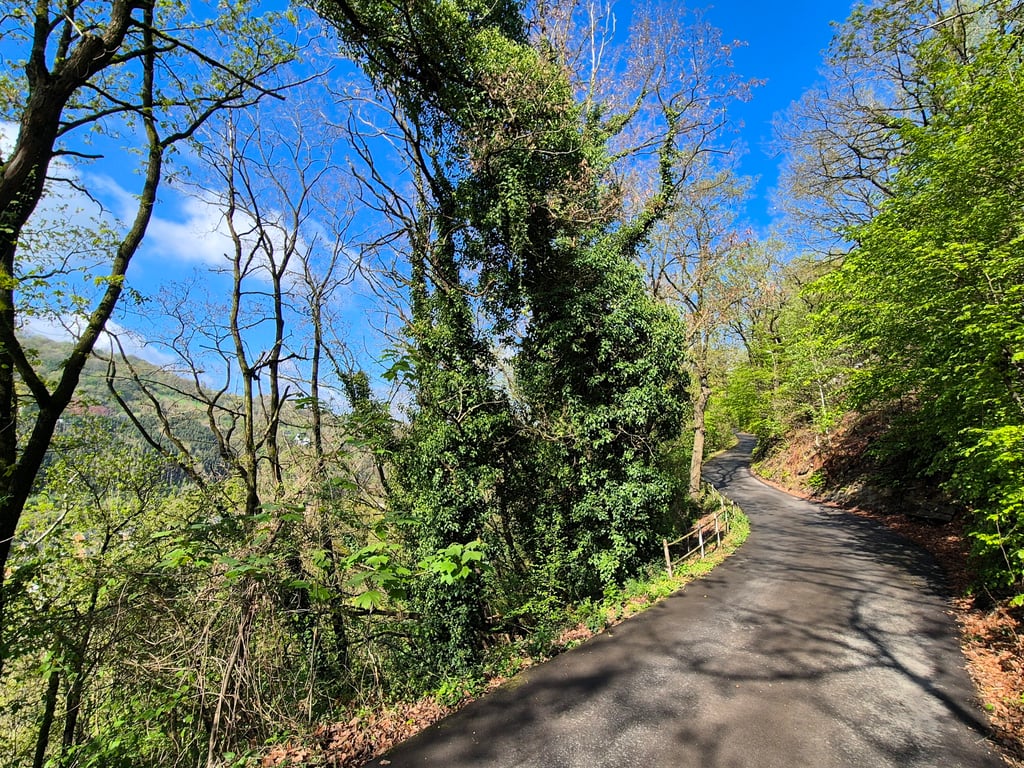
The devil is in the beginning of this climb. The road is steep for a few hundred meters. Then the road flattens out and from the junction, the road rises gradually again.
Nice to do once, but the climb is not as good as the other two variants: Rue de la Pierre Blanche (more difficult) and Cote de la Casmatrie (more fun).
Het venijn zit hem in het begin bij deze klim. De weg loopt gelijk goed steil omhoog voor enkele honderden meters. Daarna vlakt de weg af en vanaf de kruising loopt de weg weer geleidelijk omhoog.
Leuk om een keer te doen, maar de klim haalt het niet bij de twee andere varianten: Rue de la Pierre Blanche (moeilijker) en Cote de la Casmatrie (leuker).
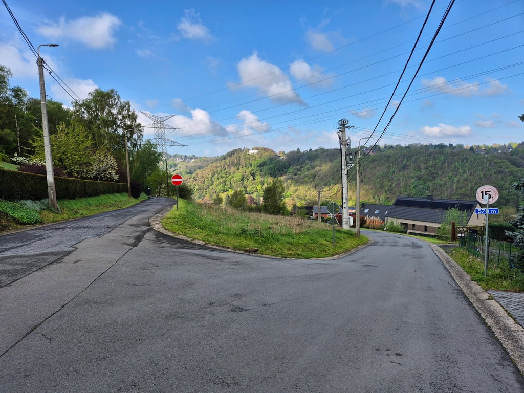
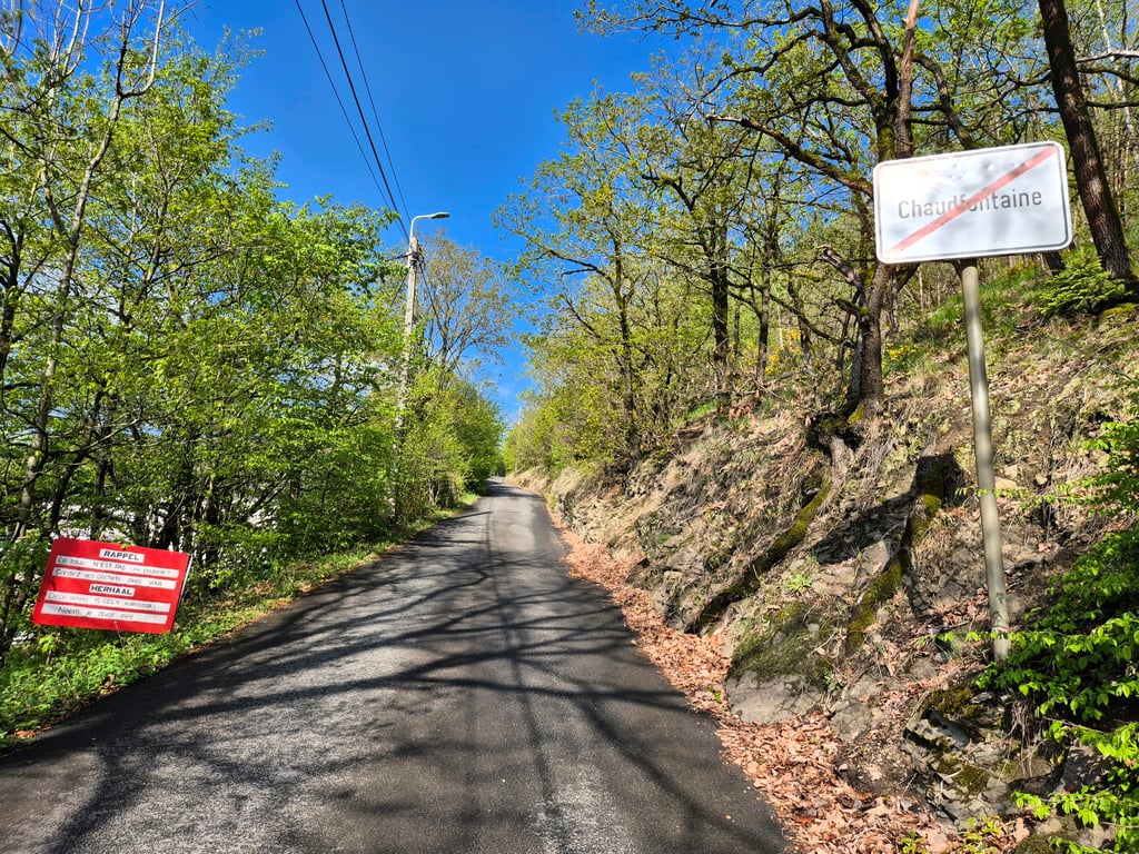
This climb is really worth it. Just a little search (climb starts left of the restaurant). Steep start, but still just doable. Then a piece up and down. Halfway Rue de la Pierre Blanche is added. Last kilometer is quite hard and feels like it never ends. Constantly around 7 - 9. It's tough with the first steep part in the legs.
Deze klim is echt wel de moeite waard. Even zoeken (klim begint links van het restaurant). Steil begin, maar nog net goed te doen. Daarna een stuk op en af. Halverwege komt de Rue de la Pierre Blanche erbij. Laatste kilometer is nog best lastig en komt voor je gevoel geen einde aan, zit constant rond 7% - 9%. Pittig met al het eerste steile stuk in de benen.
| 7 km/h | 00:18:55 |
| 11 km/h | 00:12:02 |
| 15 km/h | 00:08:49 |
| 19 km/h | 00:06:58 |
This page is better in the app