View on map
© MapLibre | OpenStreetMap contributors
1%
2%
4%
6%
8%
10%
12%
15%
20%

Berensberg via Ferberberg

3.0
2 reviews | Elevation profile | 5 photos
Tips nearby
Berensberg via Ferberberg
transparant thumb
transparant thumb
transparant thumb
Your achievable time
Calculating based on your best performances...
Relaxed
Maximum
W/kg
W/kg
W/kg
Analyse your climbing performance
Detailed insight into your climbing performance & automatically check off climbs
Based on your best performances.
Your best attempt:
Number of attempts:
Elevation profile Berensberg via Ferberberg

Statistics

Difficulty points 25
Length 0.8 km
Average gradient 5.3%
Steepest 100 metres 8%
Total ascent 41 m
Feedback about this climb?
Show climbs nearby Export to GPS device

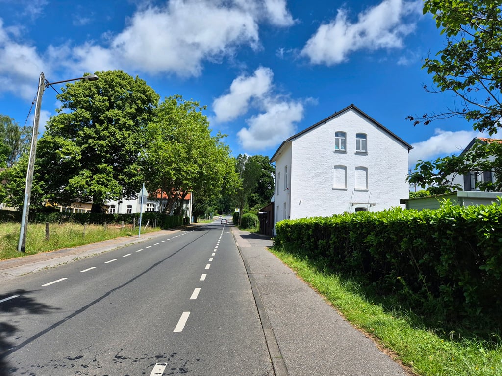
Berensberg via Ferberberg is a climb in the region Cologne. It is 0.8 km long and bridges 41 m of vertical ascent with an average gradient of 5.3%, resulting in a difficulty score of 25. The top of the ascent is located at 195 m above sea level. Climbfinder users shared 2 reviews of this climb and uploaded 5 photos.

Road name: Ferberberg
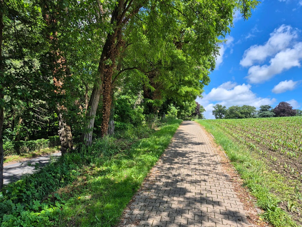
3.0 by Sybe
This is an automatic translation, the original language is: Dutch.
Especially the option via the bike path is steep, but the cobblestones are good, so you don't have to worry about them. If you are not well warmed up yet, or if you are already quite tired, I would choose the road, which runs just a bit better.... read more

Photos (5)

Berensberg via Ferberberg
transparant thumb

Your uploads (max 4)

Welcome! Please activate your account if you would like to share something. Look for the verification email in your inbox.

If you want to upload your photos, you need to create an account. It only takes 1 minute and it's completely free.

  • Receive free climbfinder goodies for your reviews & photos.
  • Create a bucket list and check off conquered climbs.
  • Add missing climbs.
Continue with GoogleContinue with Google Continue with FacebookContinue with Facebook Continue with AppleContinue with Apple Sign up with email
By signing up you agree to our terms of service and confirm that you have read our privacy & content policy.

Reviews (2)

5.0
4.0
3.0
2.0
1.0
Sybe
4 y 3.0
This is an automatic translation, the original language is: Dutch. Show original

Especially the option via the bike path is steep, but the cobblestones are good, so you don't have to worry about them. If you are not well warmed up yet, or if you are already quite tired, I would choose the road, which runs just a bit better.

Vooral de optie via het fietspad is goed steil, klinkertjes liggen er wel goed bij, daar heb je eigenlijk geen last van. Als je nog niet goed warmgedraaid bent, of juist al redelijk vermoeid dan zou ik voor de weg kiezen, die loopt net wat beter.

Dashboard
Fedor
4 y 3.0
This is an automatic translation, the original language is: Dutch. Show original

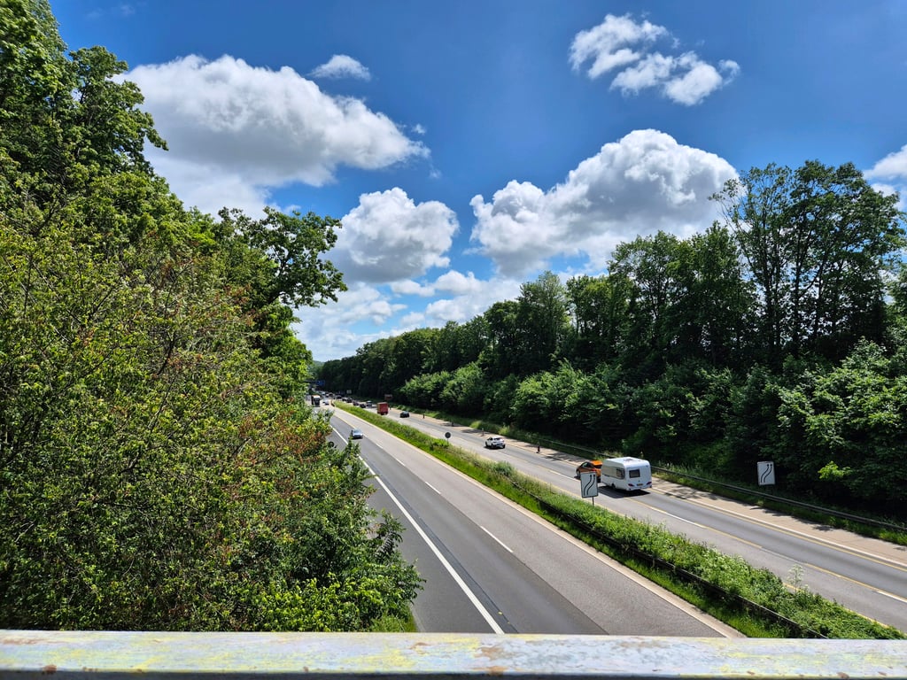
A varied climb in nice surroundings. As a cyclist you may choose whether you want to cycle on the road or the footpath and after the bridge it is more fun to choose the latter because it takes a higher hump than the road (makes a difference of a few meters, later both come together again).

NB: When descending via the road (which is the most logical) one should beware of the very bumpy asphalt on the viaduct.

Een gevarieerde klim in een aardige omgeving. Als fietser mag je kiezen of je op de weg of het voetpad wilt fietsen en na de brug is het leuker om voor die laatste te kiezen omdat deze een hogere bult neemt dan de weg (scheelt even een paar meter, later komen beiden weer bij elkaar).

NB: Bij afdalen via de weg (wel het meest logische) moet worden opgepast voor het zeer hobbelige asfalt op het viaduct.

Berensberg via Ferberberg
Dashboard

Climbing times

7 km/h 00:06:32
11 km/h 00:04:10
15 km/h 00:03:03
19 km/h 00:02:24

Road surface condition

0% 100% 0%
Based on 1 vote
Share your knowledge. What was the road condition during your ascent?

Traffic

100% 0% 0%
Based on 1 vote
Your experience counts. How much traffic did you encounter during the climb?

Frequently Asked Questions

Berensberg can be cycled from 3 sides. Berensberg via Ferberberg is the most popular side, but the summit can also be reached via Hasenwald from Mittelürsfeld & Ferberberg via Sonnenweg.

You don't need special gearing for Berensberg via Ferberberg. The slope isn't long or steep enough to require much shifting down. You can conquer this climb on power alone. However, a compact gearing system with a smallest front chainring of 34 and largest rear sprocket of 28 or 30 is always nice if you enjoy cycling uphill. This helps maintain a smooth cadence.

Berensberg via Ferberberg falls into the 5th category. With good fitness, you can ride it up with speed and power. If you have less training, shift down and climb smoothly.

Berensberg via Ferberberg is 0.8 km long.

The average gradient of Berensberg via Ferberberg is 5.3%.

Berensberg via Ferberberg has a steepest segment with an average gradient of 8%.

The summit of Berensberg via Ferberberg is at 195 m.

At a slow pace of 7 km/h, it takes about 00:06:32 to climb Berensberg via Ferberberg. At 11 km/h the time is 00:04:10, and at 15 km/h 00:03:03. For the fastest cyclists, 00:02:24 is an achievable time.

Berensberg via Ferberberg is located in the region Cologne in Germany.

This page is better in the app

Climbfinder app
Climbfinder
(Free)
Open