View on map
© MapLibre | OpenStreetMap contributors
1%
2%
4%
6%
8%
10%
12%
15%
20%

Asselkouter from Dries

3.5
4 reviews | Elevation profile | 1 photo
Tips nearby
Asselkouter from Dries
transparant thumb
transparant thumb
transparant thumb
transparant thumb
transparant thumb
transparant thumb
transparant thumb
Your achievable time
Calculating based on your best performances...
Relaxed
Maximum
W/kg
W/kg
W/kg
Analyse your climbing performance
Detailed insight into your climbing performance & automatically check off climbs
Based on your best performances.
Your best attempt:
Number of attempts:
Elevation profile Asselkouter from Dries

Statistics

Difficulty points 13
Length 0.8 km
Average gradient 3%
Steepest 100 metres 8.7%
Total ascent 25 m

Short recap

#4 toughest climb of Schelde-Durme
#5 most elevation gain of Schelde-Durme
#12 longest climb of Schelde-Durme
#23 average steepest climb of Schelde-Durme
Feedback about this climb?
Show climbs nearby Export to GPS device

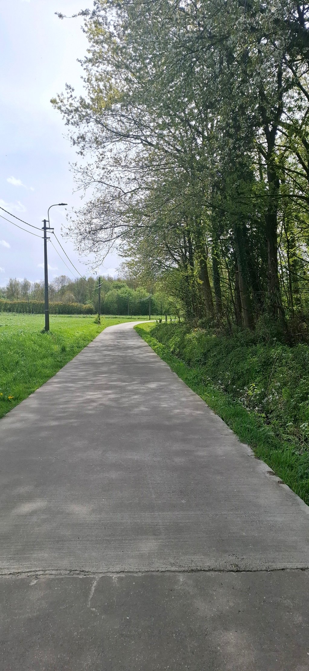
Asselkouter from Dries is a climb in the region Oost-Vlaamse bloemenstreek. It is 0.8 km long and bridges 25 m of vertical ascent with an average gradient of 3%, resulting in a difficulty score of 13. The top of the ascent is located at 47 m above sea level. Climbfinder users shared 4 reviews of this climb and uploaded 1 photo.

Road name: Asselkouter

4.0 by Seba
This is an automatic translation, the original language is: Dutch.
I like to ride it often when I'm on my way to the Flemish Ardennes. Ideal to feel how the legs are that day. It is actually a mini version of what you will encounter further on in the real Flemish Ardennes: a steep part in the bend followed by a nasty spur, but with a beautiful view of the top as a reward!... read more

Photos (1)

Asselkouter from Dries
transparant thumb
transparant thumb
transparant thumb
transparant thumb
transparant thumb

Your uploads (max 4)

Welcome! Please activate your account if you would like to share something. Look for the verification email in your inbox.

If you want to upload your photos, you need to create an account. It only takes 1 minute and it's completely free.

  • Receive free climbfinder goodies for your reviews & photos.
  • Create a bucket list and check off conquered climbs.
  • Add missing climbs.
Continue with GoogleContinue with Google Continue with FacebookContinue with Facebook Continue with AppleContinue with Apple Sign up with email
By signing up you agree to our terms of service and confirm that you have read our privacy & content policy.

Reviews (4)

5.0
4.0
3.0
2.0
1.0
LarsG13
1 Mo 4.0 via the Climbfinder app
This is an automatic translation, the original language is: Dutch. Show original

Find it a nice climb, not too long but nice short effort.

Vind het een leuke klim, niet al te lang maar wel leuke korte inspanning.

Dashboard
Yoachje
9 Mo 3.0 via the Climbfinder app
This is an automatic translation, the original language is: Dutch. Show original

This climb is really not steep and not difficult. It doesn't even deserve a climb on this website. At the bend, it gets dangerous because the cars don't see you.

Deze klim is echt niet steil en niet moeilijk. Het verdient niet eens een klim op deze website. In de bocht wordt het gevaarlijk, want de auto’s zien je niet.

Dashboard
Maikel1989
1 y 3.0
This is an automatic translation, the original language is: Dutch. Show original

Cool bit to take in. Only contains a very short spicy bit but the scenery and views at the top are beautiful. Further on, the village of Munte is also well worth riding through.

Tof stukje om mee te nemen. Zit maar heel kort een pittig stukje in maar de omgeving en uitzicht op de top zijn mooi. Verderop is het dorp Munte ook zeker de moeite waard om door te rijden.

Dashboard
Seba
4 y 4.0
This is an automatic translation, the original language is: Dutch. Show original

I like to ride it often when I'm on my way to the Flemish Ardennes. Ideal to feel how the legs are that day. It is actually a mini version of what you will encounter further on in the real Flemish Ardennes: a steep part in the bend followed by a nasty spur, but with a beautiful view of the top as a reward!

Ik rijd deze graag en vaak wanneer ik op weg ben naar de Vlaamse Ardennen. Ideaal om te voelen hoe het met de benen zit die dag. Het is eigenlijk een miniversie van wat je verderop in de échte Vlaamse Ardennen tegenkomt: een steil stuk in de bocht gevolgd door een vervelende uitloper, maar met een mooi uitzicht op de top als beloning!

Dashboard

Climbing times

7 km/h 00:07:14
11 km/h 00:04:36
15 km/h 00:03:22
19 km/h 00:02:39

Road surface condition

0% 0% 0%
Based on 0 votes
Share your knowledge. What was the road condition during your ascent?

Traffic

0% 0% 0%
Based on 0 votes
Your experience counts. How much traffic did you encounter during the climb?

Frequently Asked Questions

Asselkouter can be cycled from 4 sides. Asselkouter from Dries is the most popular side, but the summit can also be reached via Asselkouter from Heet, Munteberg from Ruspoel & Munteberg from Zink.

You don't need special gearing for Asselkouter from Dries. The slope isn't long or steep enough to require much shifting down. You can conquer this climb on power alone. However, a compact gearing system with a smallest front chainring of 34 and largest rear sprocket of 28 or 30 is always nice if you enjoy cycling uphill. This helps maintain a smooth cadence.

Asselkouter from Dries is not tough enough to be assigned a mountain category. This means that even untrained cyclists can reach the top without any problems on this climb.

Asselkouter from Dries is 0.8 km long.

The average gradient of Asselkouter from Dries is 3%.

Asselkouter from Dries has a steepest segment with an average gradient of 8.7%.

The summit of Asselkouter from Dries is at 47 m.

At a slow pace of 7 km/h, it takes about 00:07:14 to climb Asselkouter from Dries. At 11 km/h the time is 00:04:36, and at 15 km/h 00:03:22. For the fastest cyclists, 00:02:39 is an achievable time.

Asselkouter from Dries is located in the region Oost-Vlaamse bloemenstreek in Belgium.

This page is better in the app

Climbfinder app
Climbfinder
(Free)
Open