Improve your climb times with the Climbfinder App
Discover
Map
Regions
Ranking
Analytics
Premium
Climbs
No results found
Regions
No results found
Places
No results found
US
English
English (US units)
Nederlands
Français
Deutsch
Italiano
Español
Polski
Dashboard
My routes
My climbs
Climbfinder goodies
Settings
Log out
Continue with Google
Continue with Facebook
Continue with Apple
or
Log in
Sign up
Home
Ranking
Most popular climbs - Upper Bavaria
The ultimate climbing rankings
Most popular
Most popular
Toughest
Steepest
Longest
Elevation gain
Highest
Hairpins
Best rated
Upper Bavaria
Regions
No results found
Places
No results found
My location
Retrieving location...
Browser location not shared
Remove current selection
All
Bucket list
1.645
climbs
0.0
% ridden
Previous
Next
Loading...
No climbs found
801
Your best attempt:
Climbed
Bucket list climb
Not yet climbed
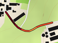
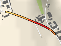
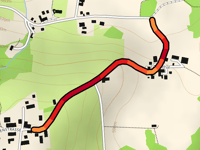
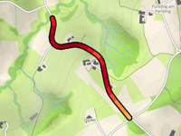
Kleinesterndorf from Feuerreit
0.2 mi
9.7%
38
112 ft
1906 ft
5
802
Your best attempt:
Climbed
Bucket list climb
Not yet climbed
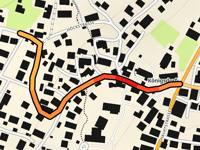
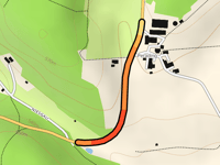
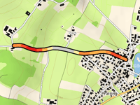
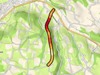
Köningsdorf via Beuerberger Strasse
0.3 mi
5.1%
16
92 ft
2064 ft
803
Your best attempt:
Climbed
Bucket list climb
Not yet climbed
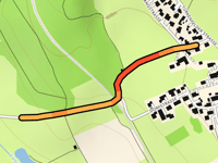
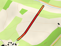
Weildorf from Patting
0.9 mi
3.8%
24
177 ft
1637 ft
804
Your best attempt:
Climbed
Bucket list climb
Not yet climbed
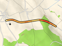
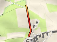
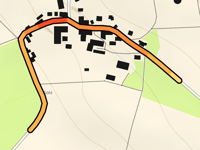
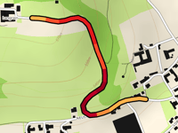
Otting from Grossscherzhausen
0.4 mi
3.9%
10
79 ft
1785 ft
805
Your best attempt:
Climbed
Bucket list climb
Not yet climbed
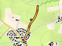
Otting from Unteraschau
0.5 mi
5.1%
25
141 ft
1785 ft
5
806
Your best attempt:
Climbed
Bucket list climb
Not yet climbed
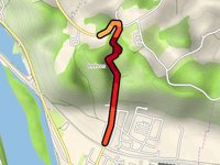
Kothöder Höhe via Wiedendorf
1 mi
7.2%
104
381 ft
2116 ft
4
807
Your best attempt:
Climbed
Bucket list climb
Not yet climbed
Hohenthann from Berganger
1.5 mi
2.3%
20
180 ft
1850 ft
808
Your best attempt:
Climbed
Bucket list climb
Not yet climbed
Fabertsham from Sinzing via Schnaitseer Strasse
0.5 mi
3.5%
13
92 ft
2005 ft
809
Your best attempt:
Climbed
Bucket list climb
Not yet climbed
Humersberg from Oberndorf
0.5 mi
2.9%
9
82 ft
1719 ft
810
Your best attempt:
Climbed
Bucket list climb
Not yet climbed
Willhartsberg from Holzen
0.4 mi
4.9%
19
108 ft
1572 ft
811
Your best attempt:
Climbed
Bucket list climb
Not yet climbed
Schauerschorn from Oberzeitlbach
0.2 mi
7.9%
26
98 ft
1745 ft
5
812
Your best attempt:
Climbed
Bucket list climb
Not yet climbed
Edlinger Strasse from Euernbach
0.4 mi
5.4%
21
118 ft
1588 ft
813
Your best attempt:
Climbed
Bucket list climb
Not yet climbed
Kremsberg from Kiefering
0.2 mi
5.0%
11
59 ft
1473 ft
814
Your best attempt:
Climbed
Bucket list climb
Not yet climbed
Perading from Truchtlaching
0.4 mi
5.1%
17
102 ft
1827 ft
815
Your best attempt:
Climbed
Bucket list climb
Not yet climbed
Pflaumdorf via Eresinger Strasse
0.4 mi
4.3%
14
95 ft
1969 ft
816
Your best attempt:
Climbed
Bucket list climb
Not yet climbed
Hassenham from Fürfang
0.2 mi
6.8%
19
85 ft
1509 ft
817
Your best attempt:
Climbed
Bucket list climb
Not yet climbed
Parnsberg via Tiefenthal
0.6 mi
8.1%
67
253 ft
2116 ft
5
818
Your best attempt:
Climbed
Bucket list climb
Not yet climbed
Köningsberg from Prutting
0.7 mi
4.1%
25
141 ft
1736 ft
5
819
Your best attempt:
Climbed
Bucket list climb
Not yet climbed
Söhl Steige Southwest from Rue de Richelle
0.6 mi
3.9%
16
121 ft
1772 ft
820
Your best attempt:
Climbed
Bucket list climb
Not yet climbed
Innhorn from Marktl
0.8 mi
8.6%
113
377 ft
1591 ft
2
4
821
Your best attempt:
Climbed
Bucket list climb
Not yet climbed
Saxenberg from Burdberg
0.6 mi
9.2%
88
285 ft
1923 ft
4
822
Your best attempt:
Climbed
Bucket list climb
Not yet climbed
Aich from Steppach
1.2 mi
5.0%
69
325 ft
1854 ft
5
823
Your best attempt:
Climbed
Bucket list climb
Not yet climbed
Lageltshausen from Pellhausen
0.3 mi
7.8%
29
115 ft
1617 ft
5
824
Your best attempt:
Climbed
Bucket list climb
Not yet climbed
Langrain from Ramsau
0.5 mi
7.7%
59
213 ft
1890 ft
5
825
Your best attempt:
Climbed
Bucket list climb
Not yet climbed
Abt-Häfele-Strasse from Oberndorf
0.5 mi
5.1%
25
138 ft
1867 ft
5
Previous
Next
Your best attempt:
Climbed
Bucket list climb
Not yet climbed
a
This page is better in the app
Climbfinder
(Free)
Open