Improve your climb times with the Climbfinder App
Discover
Map
Regions
Ranking
Analytics
Premium
Climbs
No results found
Regions
No results found
Places
No results found
US
English
English (US units)
Nederlands
Français
Deutsch
Italiano
Español
Polski
Dashboard
My routes
My climbs
Climbfinder goodies
Settings
Log out
Continue with Google
Continue with Facebook
Continue with Apple
or
Log in
Sign up
Home
Ranking
Most popular climbs - Austria
The ultimate climbing rankings
Most popular
Most popular
Toughest
Steepest
Longest
Elevation gain
Highest
Hairpins
Best rated
Austria
Regions
No results found
Places
No results found
My location
Retrieving location...
Browser location not shared
Remove current selection
All
Bucket list
3.079
climbs
0.0
% ridden
Previous
Next
Loading...
No climbs found
2176
Your best attempt:
Climbed
Bucket list climb
Not yet climbed
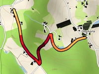
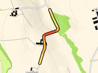
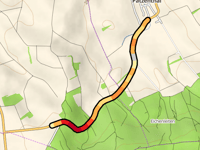
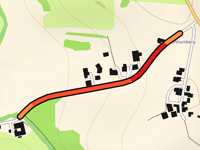
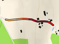
Poppen from Oberkarla
0.9 mi
7.5%
108
361 ft
1184 ft
2
4
2177
Your best attempt:
Climbed
Bucket list climb
Not yet climbed
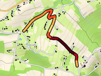
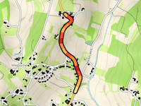
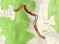
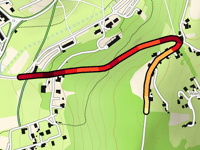
Oberneusetzberg via Neusetzdorfweg
1 mi
7.9%
139
407 ft
1306 ft
3
4
2178
Your best attempt:
Climbed
Bucket list climb
Not yet climbed
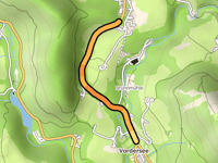
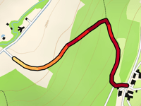
Wöhrlehensiedlung from Vodersee
0.9 mi
3.5%
18
164 ft
2461 ft
2179
Your best attempt:
Climbed
Bucket list climb
Not yet climbed
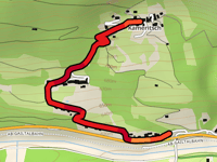
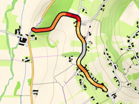
Kameritsch
1 mi
9.0%
132
469 ft
2425 ft
4
4
2180
Your best attempt:
Climbed
Bucket list climb
Not yet climbed
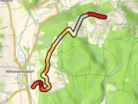
Khünegg from Wittmannsdorf via Glauningweg
2.5 mi
3.4%
103
459 ft
1211 ft
4
2181
Your best attempt:
Climbed
Bucket list climb
Not yet climbed
Haselbachberg from Hart-Unterberg
0.5 mi
7.7%
58
197 ft
1027 ft
5
2182
Your best attempt:
Climbed
Bucket list climb
Not yet climbed
Tannriegel Weg via Pöltnerstrasse
0.4 mi
3.0%
9
56 ft
820 ft
2183
Your best attempt:
Climbed
Bucket list climb
Not yet climbed
Mairhof from Stüblreith
0.4 mi
6.9%
31
138 ft
1516 ft
5
2184
Your best attempt:
Climbed
Bucket list climb
Not yet climbed
Unteruggen from Eisenhub
0.4 mi
3.1%
9
72 ft
1368 ft
2185
Your best attempt:
Climbed
Bucket list climb
Not yet climbed
Bachbergen from Gossendorf
0.5 mi
5.2%
25
141 ft
1152 ft
5
2186
Your best attempt:
Climbed
Bucket list climb
Not yet climbed
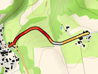
Hochgrassnitzberg via Obeggstrasse
1.7 mi
6.3%
154
574 ft
1424 ft
2
3
2187
Your best attempt:
Climbed
Bucket list climb
Not yet climbed
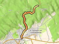
Stotzing Berg from Eisenstadt
3.7 mi
3.5%
92
699 ft
1240 ft
4
4
2188
Your best attempt:
Climbed
Bucket list climb
Not yet climbed
Schellenberg from Patzenthal
1.4 mi
3.9%
54
285 ft
1020 ft
5
2189
Your best attempt:
Climbed
Bucket list climb
Not yet climbed
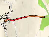
Schachen from Zell am Pettenfirst
1 mi
5.7%
67
305 ft
2123 ft
5
2190
Your best attempt:
Climbed
Bucket list climb
Not yet climbed
Nonsbach from Schoppering Höhe
0.4 mi
6.7%
31
138 ft
1480 ft
5
2191
Your best attempt:
Climbed
Bucket list climb
Not yet climbed
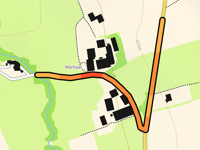
Marlupp Höhe via Marlupp
0.4 mi
4.4%
12
82 ft
1368 ft
1
2192
Your best attempt:
Climbed
Bucket list climb
Not yet climbed
Oberthumberg from Stipplmühl
0.3 mi
7.6%
32
138 ft
1647 ft
5
2193
Your best attempt:
Climbed
Bucket list climb
Not yet climbed
Gallnbrunn from Reichenthalheim
0.6 mi
5.8%
41
177 ft
1811 ft
5
2194
Your best attempt:
Climbed
Bucket list climb
Not yet climbed
Entschendorfberg from Entschendorf am Ottersbach
0.8 mi
9.2%
128
407 ft
1306 ft
4
4
2195
Your best attempt:
Climbed
Bucket list climb
Not yet climbed
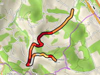
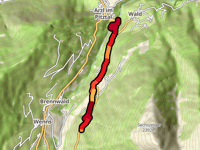
Gischlewies from Arzl im Pitztal via Leiner Mühlweg
3.4 mi
9.0%
512
1627 ft
4045 ft
5
2
2196
Your best attempt:
Climbed
Bucket list climb
Not yet climbed
Thermenstrasse from Winten
0.2 mi
8.1%
30
98 ft
1371 ft
5
2197
Your best attempt:
Climbed
Bucket list climb
Not yet climbed
Wierbergweg from Bad Gleichenberg
0.7 mi
8.0%
89
292 ft
1178 ft
4
2198
Your best attempt:
Climbed
Bucket list climb
Not yet climbed
Angerleitenweg
0.5 mi
8.9%
68
217 ft
1168 ft
5
2199
Your best attempt:
Climbed
Bucket list climb
Not yet climbed
Hürtherberg via Süsseggweg
0.8 mi
4.1%
30
167 ft
938 ft
5
2200
Your best attempt:
Climbed
Bucket list climb
Not yet climbed
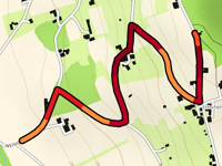
Rothauptberg via Mixental
1 mi
6.9%
88
351 ft
2448 ft
2
4
Previous
Next
Your best attempt:
Climbed
Bucket list climb
Not yet climbed
a
This page is better in the app
Climbfinder
(Free)
Open