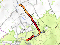
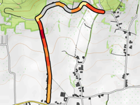
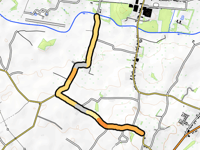
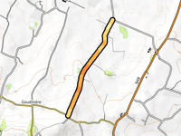
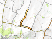
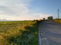
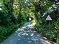
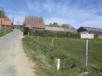
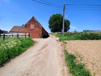
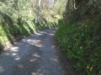
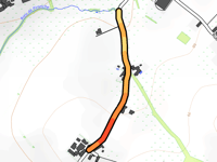
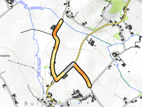
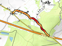
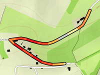
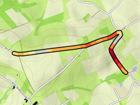
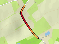
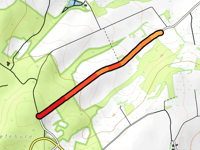
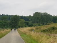
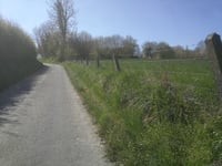
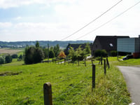
Cycling route
Grand Tour au Pays des Collines
1 y
If you want to proceed you need to create an account. It only takes 1 minute and it's completely free.
By signing up you agree to our terms of service and confirm that you have read our privacy & content policy.
Indicate when you will depart and get a better estimate of the moving time, weather forecast, schedule, and nutrition plan.
07:08
Time on bike
14.6 mph
Avg. speed
to
The weather forecast is based on trend data
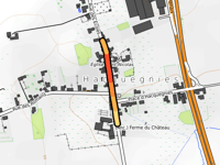
When the date is more than 14 days in the future, the forecast is based on a climate model. Based on decades of data, this model can make a good prediction of the temperature. Road book
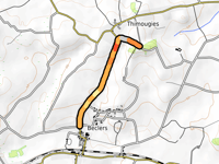
Start
Finish
Start
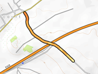

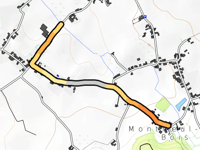
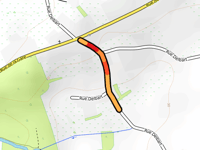
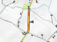
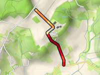
Finish
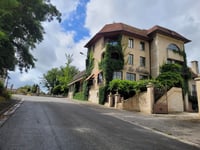
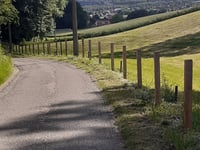
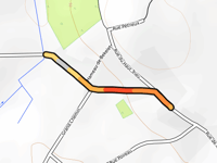
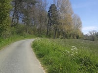
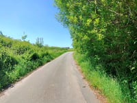
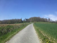
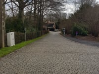
Caution: this route includes some tricky sections
- Unpaved roads (249 ft)
- Cobble sections (1.4 mi)