Zonneoordlaan from Ede is a climb in the region Ede & Wageningen. It is 1.2 mi long and bridges 89 ft of vertical ascent with an average gradient of 1.4%, resulting in a difficulty score of 5. The top of the ascent is located at 141 ft above sea level. Climbfinder users shared 2 reviews of this climb and uploaded 8 photos.
This is an automatic translation, the original language is: Dutch.
Nice road, with really noticeable ascent, while pedalling well. I had missed the cycle path at first and only started cycling on it at the holiday park....read more
Photos (8)
Welcome! Please activate your account if you would like to share something. Look for the verification email in your inbox.
This is an automatic translation, the original language is: Dutch.
Show original
Nice road, with really noticeable ascent, while pedalling well. I had missed the cycle path at first and only started cycling on it at the holiday park.
Leuke weg, met echt wel voelbare stijging, terwijl je wel goed door kunt trappen. Ik had het fietspad eerst gemist en ben daar pas op het vakantiepark op gaan fietsen.
This is an automatic translation, the original language is: Dutch.
Show original
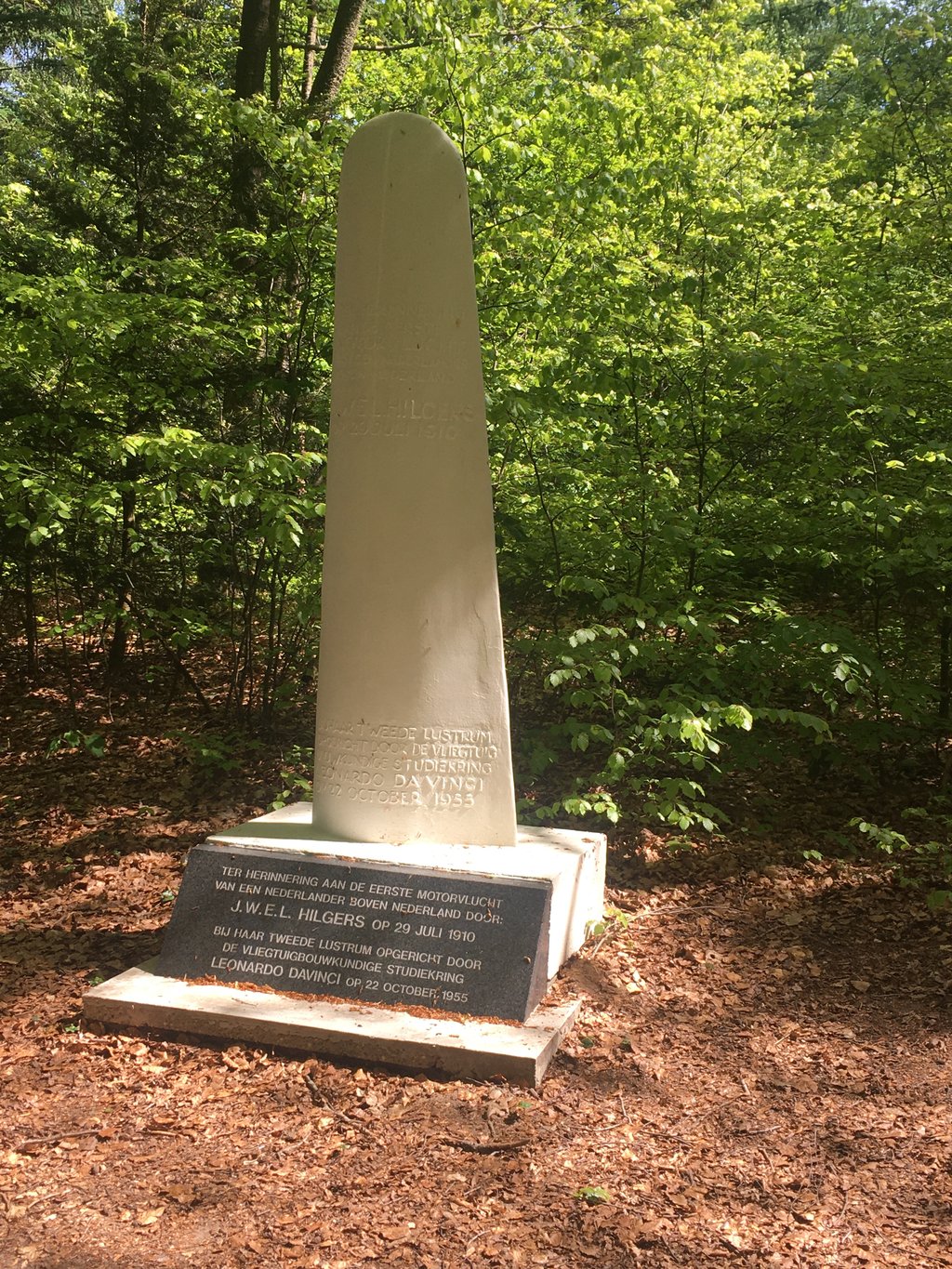
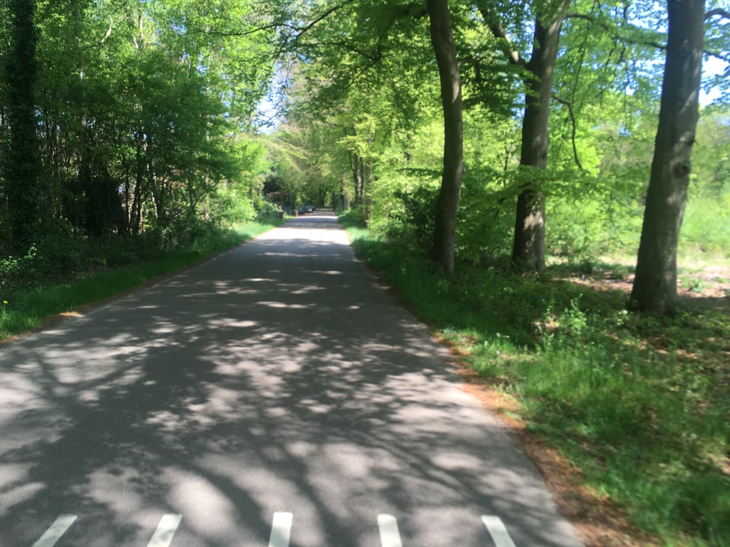
A long and mostly very gentle climb, first over a small road and then an asphalt cycle path next to the road. After a warning sign for cyclists, the cycle path starts on the right (a few metres from the road) but the bit towards it is unpaved so take care. You can also get onto the cycle path further on (near the holiday park, following the road further yields sand under the tyres) but then you miss a nice little hump. Also at the end still visible ascent to an obvious highest point near a white monument.
Een lange en overwegend zeer rustige klim, eerst over een weggetje en daarna een asfaltfietspad naast de weg. Na een waarschuwingsbord voor fietsers begint rechts het fietspad (enkele meters van de weg) maar het stukje daar naar toe is onverhard dus even opletten. Je kan verderop ook op het fietspad komen (bij het vakantiepark, de weg verder volgen levert zand onder de banden op) maar dan mis je een leuk bultje. Ook op het eind nog zichtbare stijging naar een duidelijk hoogste punt bij een wit monument.
Share your knowledge. What was the road condition during your ascent?
Traffic
100% 0% 0%
Based on 1 vote
Your experience counts. How much traffic did you encounter during the climb?
Frequently Asked Questions
You don't need special gearing for Zonneoordlaan from Ede. The slope isn't long or steep enough to require much shifting down. You can conquer this climb on power alone. However, a compact gearing system with a smallest front chainring of 34 and largest rear sprocket of 28 or 30 is always nice if you enjoy cycling uphill. This helps maintain a smooth cadence.
Zonneoordlaan from Ede is not tough enough to be assigned a mountain category. This means that even untrained cyclists can reach the top without any problems on this climb.
Zonneoordlaan from Ede is 1.2 mi long.
The average gradient of Zonneoordlaan from Ede is 1.4%.
Zonneoordlaan from Ede has a steepest segment with an average gradient of 3.2%.
The summit of Zonneoordlaan from Ede is at 141 ft.
At a slow pace of 5 mph, it takes about 00:14:51 to climb Zonneoordlaan from Ede. At 7 mph the time is 00:10:30, and at 9 mph 00:08:11. For the fastest cyclists, 00:06:09 is an achievable time.