Watertorenweg from Herselt is a climb in the region Antwerp Province. It is 0.3 mi long and bridges 59 ft of vertical ascent with an average gradient of 3.8%, resulting in a difficulty score of 7. The top of the ascent is located at 118 ft above sea level. Climbfinder users shared 3 reviews of this climb and uploaded 6 photos.
Road names: Stap & Watertorenweg
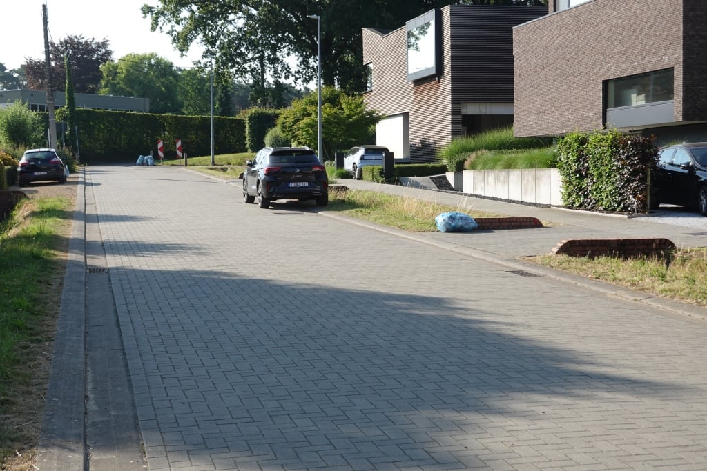
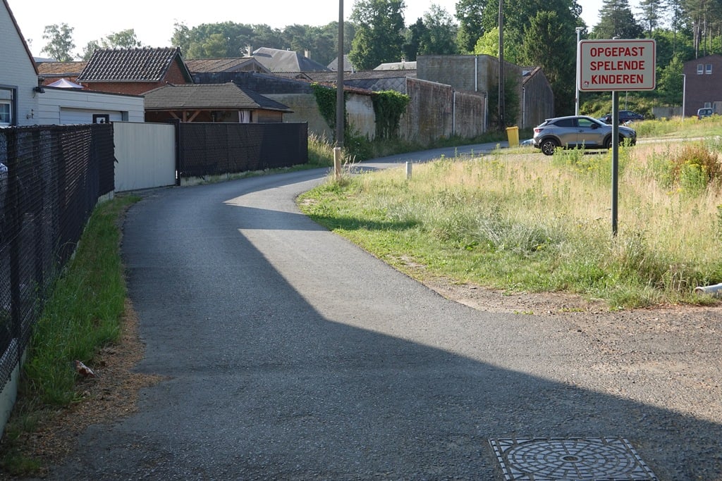
3.0 by WouterThis is an automatic translation, the original language is: Dutch.Quiet road through a residential area. The road surface changes in several places, but is good throughout.... read more
Welcome! Please activate your account if you would like to share something. Look for the verification email in your inbox.
If you want to upload your photos, you need to create an account. It only takes 1 minute and it's completely free.
Quiet road through a residential area. The road surface changes in several places, but is good throughout.
Rustige weg door een woonwijk. Het wegdek verandert op verschillende plaatsen, maar is overal goed.
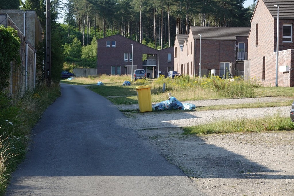
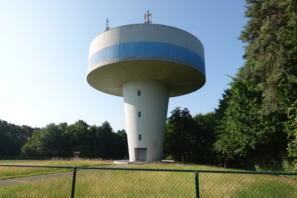
An upward rippling road past some houses ending at the water tower. Nice and quiet, though.
Een omhoog kabbelend weggetje langs wat huizen die eindigt bij de watertoren. Lekker rustig, dat dan weer wel.
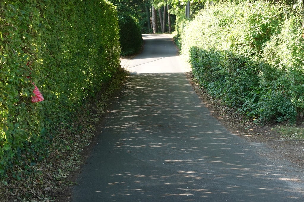
One of the many false flat climbs around Herselt. A mountain or hill it is not. For the big slab on a fine, traffic-free road provided.
Een van de vele vals plat klimmetjes rond Herselt. Een berg of heuvel is het niet. Voor de grote plaat op een prima wegdek voorziene, verkeersluwe weg.
| 5 mph | 00:03:35 |
| 7 mph | 00:02:32 |
| 9 mph | 00:01:58 |
| 12 mph | 00:01:29 |
This page is better in the app