View on map
© MapLibre | OpenStreetMap contributors
1%
2%
4%
6%
8%
10%
12%
15%
20%

Waldschenke via Karlshöher Talweg

3.0
3 reviews | Elevation profile | 7 photos
Tips nearby
Waldschenke via Karlshöher Talweg
transparant thumb
Your achievable time
Calculating based on your best performances...
Relaxed
Maximum
W/kg
W/kg
W/kg
Analyze your climbing performance
Detailed insight into your climbing performance & automatically check off climbs
Based on your best performances.
Your best attempt:
Number of attempts:
Elevation profile Waldschenke via Karlshöher Talweg

Statistics

Difficulty points 17
Length 0.3 mi
Average gradient 6.1%
Steepest segment 9.1%
Total ascent 85 ft
Feedback about this climb?
Show climbs nearby Export to GPS device

Waldschenke via Karlshöher Talweg is a climb in the region Cologne. It is 0.3 mi long and bridges 85 ft of vertical ascent with an average gradient of 6.1%, resulting in a difficulty score of 17. The top of the ascent is located at 1047 ft above sea level. Climbfinder users shared 3 reviews of this climb and uploaded 7 photos.

Road name: Karlshöher Talweg
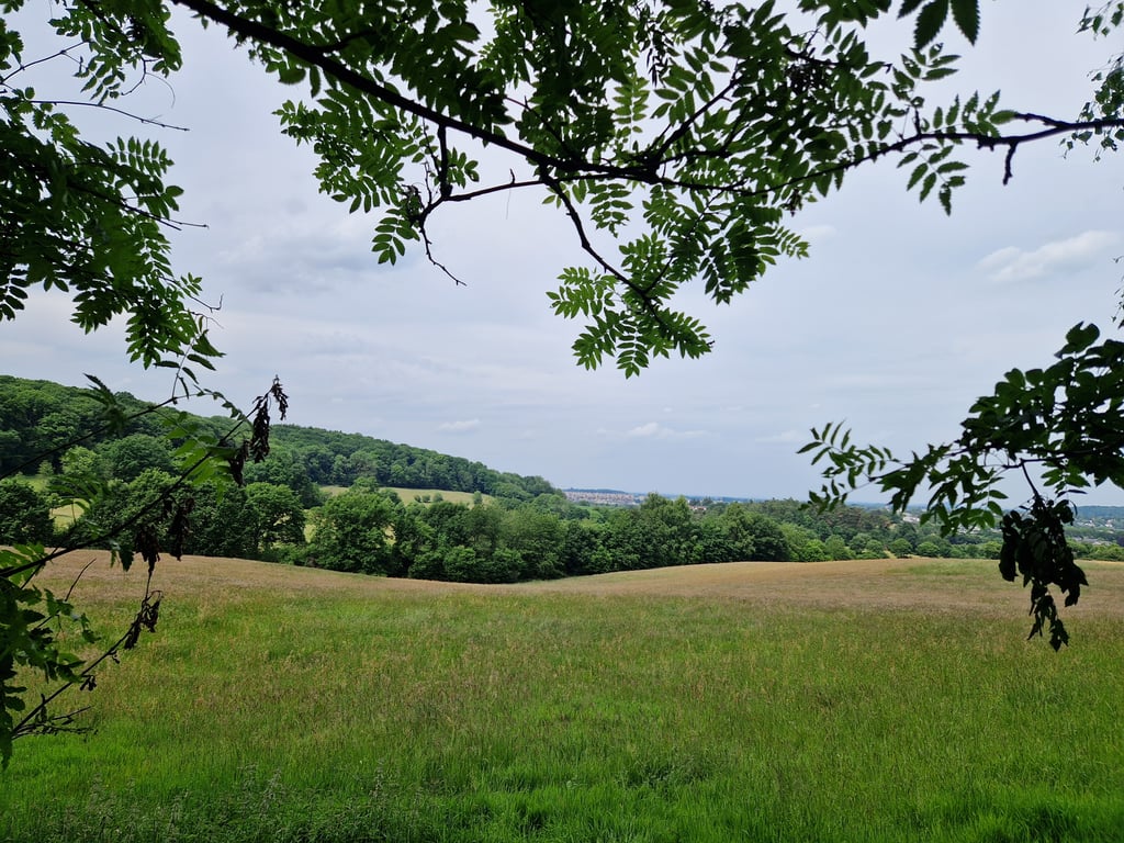
3.0 by Jarin
This is an automatic translation, the original language is: Dutch.
Spicy climb through the forest past a lovely cottage in beautiful surroundings. At the crossroads it gets quite tough for a while, but then it quickly eases off again. Good road surface. If you turn left at the fork, you will be treated to wonderful views of eastern Aachen (Vaalserquartier) at the Aussichtspunkt Preusweg.... read more

Photos (7)

Waldschenke via Karlshöher Talweg
transparant thumb
transparant thumb
transparant thumb
transparant thumb
transparant thumb

Your uploads (max 4)

Welcome! Please activate your account if you would like to share something. Look for the verification email in your inbox.

If you want to upload your photos, you need to create an account. It only takes 1 minute and it's completely free.

  • Receive free climbfinder goodies for your reviews & photos.
  • Create a bucket list and check off conquered climbs.
  • Add missing climbs.
Continue with GoogleContinue with Google Continue with FacebookContinue with Facebook Continue with AppleContinue with Apple Sign up with email
By signing up you agree to our terms of service and confirm that you have read our privacy & content policy.

Reviews (3)

5.0
4.0
3.0
2.0
1.0
Jarin
1 y 3.0 via the Climbfinder app
This is an automatic translation, the original language is: Dutch. Show original

Spicy climb through the forest past a lovely cottage in beautiful surroundings. At the crossroads it gets quite tough for a while, but then it quickly eases off again. Good road surface. If you turn left at the fork, you will be treated to wonderful views of eastern Aachen (Vaalserquartier) at the Aussichtspunkt Preusweg.

Pittige klim door het bos langs een lieflijk huisje in een prachtige omgeving. Bij de driesprong wordt het even flink pittig, maar daarna zwakt het weer snel af. Prima wegdek. Als je bij de driesprong even links afdaalt, wordt je bij het Aussichtspunkt Preusweg getrakteerd op een prachtig uitzicht over oostelijk Aachen (Vaalserquartier).

Waldschenke via Karlshöher Talweg
Dashboard
BikerJohan
1 y 3.0
This is an automatic translation, the original language is: Dutch. Show original

If you ride via the Friedrichweg, Hasselholzer Weg or Preusweg to Karlhöhe, you will have a short flat(er) section in the forest. After this, towards Lütticher Strasse there is this short/venginal climb. It doesn't start out too steep but soon you get a double-digit section in front of your wheels. After this it flattens out for a while and there is another short double-digit section. After this, it flattens out to the top and you descend towards the Lütticher Strasse.

Als je via de Friedrichweg, Hasselholzer Weg of Preusweg naar Karlhöhe rijdt heb je in het bos even een vlak(ker) stuk. Hierna volgt richting Lütticher Strasse nog dit korte/venijnig klimtje. Het begint niet al te steil maar al vlot krijg je een stukje met dubbele cijfers voor de wielen. Hierna vlakt het even af en volgt wederom een kort stukje met dubbele cijfers. Hierna vlakt het tot aan de top af en daal je af richting de Lütticher Strasse.

Dashboard
Fedor
4 y 3.0
This is an automatic translation, the original language is: Dutch. Show original

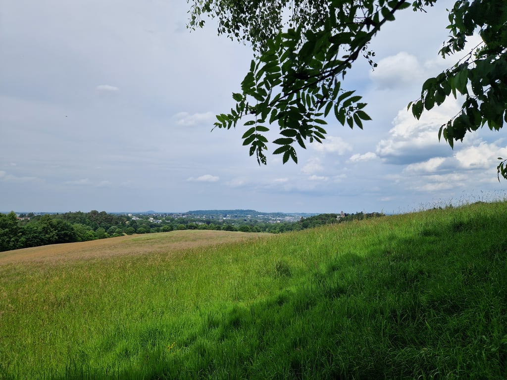
A relaxed climb through a beautiful forest, with sometimes nice views to the left. You think you see the top soon but then it appears that there is a less steep part behind it. The asphalt is of moderate quality with sometimes really bumpy parts.

Een relaxed klimmetje door een fraai bos, met naar links soms mooie doorkijkjes. Je denkt al snel de top te zien maar dan blijkt dat er nog een minder steil stuk achter zit. Het asfalt is van matige kwaliteit met soms echt hobbelige stukken.

Waldschenke via Karlshöher Talweg
Dashboard

Climbing times

5 mph 00:03:11
7 mph 00:02:15
9 mph 00:01:45
12 mph 00:01:19

Road surface condition

0% 0% 0%
Based on 0 votes
Share your knowledge. What was the road condition during your ascent?

Traffic

0% 0% 0%
Based on 0 votes
Your experience counts. How much traffic did you encounter during the climb?

Frequently Asked Questions

You don't need special gearing for Waldschenke via Karlshöher Talweg. The slope isn't long or steep enough to require much shifting down. You can conquer this climb on power alone. However, a compact gearing system with a smallest front chainring of 34 and largest rear sprocket of 28 or 30 is always nice if you enjoy cycling uphill. This helps maintain a smooth cadence.

Waldschenke via Karlshöher Talweg is not tough enough to be assigned a mountain category. This means that even untrained cyclists can reach the top without any problems on this climb.

Waldschenke via Karlshöher Talweg is 0.3 mi long.

The average gradient of Waldschenke via Karlshöher Talweg is 6.1%.

Waldschenke via Karlshöher Talweg has a steepest segment with an average gradient of 9.1%.

The summit of Waldschenke via Karlshöher Talweg is at 1047 ft.

At a slow pace of 5 mph, it takes about 00:03:11 to climb Waldschenke via Karlshöher Talweg. At 7 mph the time is 00:02:15, and at 9 mph 00:01:45. For the fastest cyclists, 00:01:19 is an achievable time.

Waldschenke via Karlshöher Talweg is located in the region Cologne in Germany.

This page is better in the app

Climbfinder app
Climbfinder
(Free)
Open