View on map
© MapLibre | OpenStreetMap contributors
1%
2%
4%
6%
8%
10%
12%
15%
20%

Vennstrasse via Schönefelderweg

3.0
2 reviews | Elevation profile | 9 photos
Tips nearby
Vennstrasse via Schönefelderweg
Your achievable time
Calculating based on your best performances...
Relaxed
Maximum
W/kg
W/kg
W/kg
Analyze your climbing performance
Detailed insight into your climbing performance & automatically check off climbs
Based on your best performances.
Your best attempt:
Number of attempts:
Elevation profile Vennstrasse via Schönefelderweg

Statistics

Difficulty points 23
Length 0.8 mi
Average gradient 3.8%
Steepest segment 7.6%
Total ascent 151 ft
Feedback about this climb?
Show climbs nearby Export to GPS device

Vennstrasse via Schönefelderweg is a climb in the region Pays de Herve. It is 0.8 mi long and bridges 151 ft of vertical ascent with an average gradient of 3.8%, resulting in a difficulty score of 23. The top of the ascent is located at 1385 ft above sea level. Climbfinder users shared 2 reviews of this climb and uploaded 9 photos.

Road names: Schönefelderweg & Vennstraße
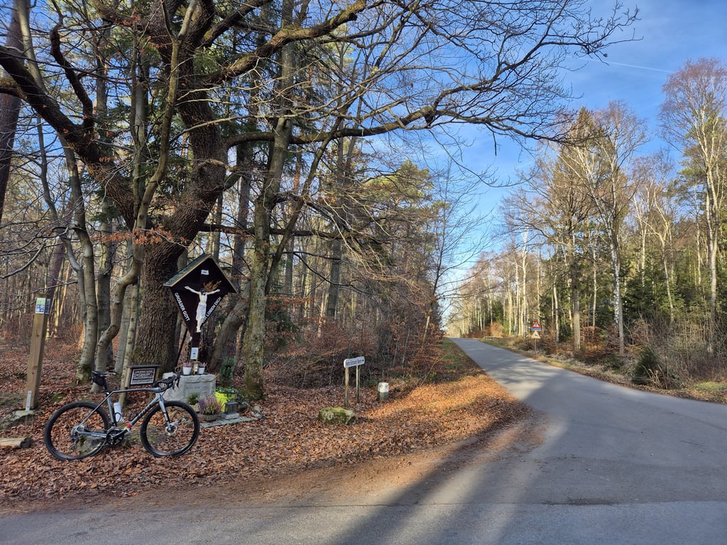
3.0 by BikerJohan
This is an automatic translation, the original language is: Dutch.
Climb through the forest between Eupen and Petergensfeld. Until halfway up, the climb runs nicely. Then it becomes false flat until the top. Climb feels syrupy partly due to the type of asphalt on the road.... read more

Photos (9)

Vennstrasse via Schönefelderweg
transparant thumb
transparant thumb
transparant thumb

Your uploads (max 4)

Welcome! Please activate your account if you would like to share something. Look for the verification email in your inbox.

If you want to upload your photos, you need to create an account. It only takes 1 minute and it's completely free.

  • Receive free climbfinder goodies for your reviews & photos.
  • Create a bucket list and check off conquered climbs.
  • Add missing climbs.
Continue with GoogleContinue with Google Continue with FacebookContinue with Facebook Continue with AppleContinue with Apple Sign up with email
By signing up you agree to our terms of service and confirm that you have read our privacy & content policy.

Reviews (2)

5.0
4.0
3.0
2.0
1.0
BikerJohan
1 y 3.0
This is an automatic translation, the original language is: Dutch. Show original

Climb through the forest between Eupen and Petergensfeld. Until halfway up, the climb runs nicely. Then it becomes false flat until the top. Climb feels syrupy partly due to the type of asphalt on the road.

Klim door het bos tussen Eupen en Petergensfeld. Tot halfverweg loopt de klim lekker door. Daarna wordt het tot de top vals plat. Klim voelt mede door het type asfalt van de weg stroperig aan.

Dashboard
Fedor
4 y 3.0
This is an automatic translation, the original language is: Dutch. Show original

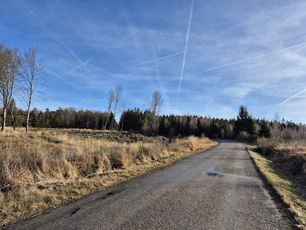
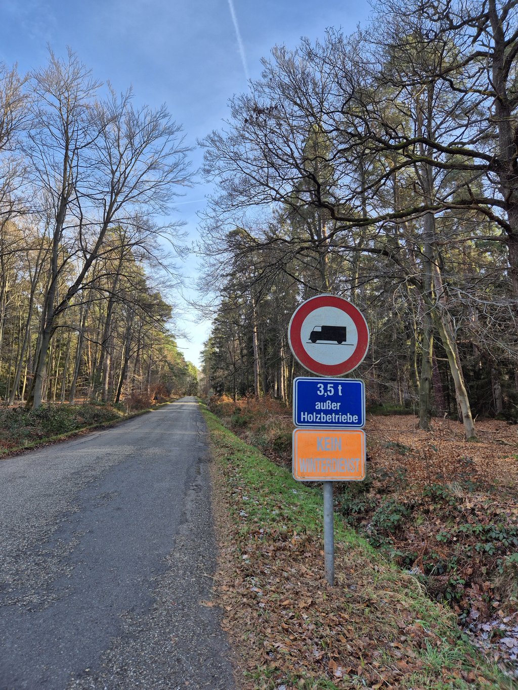
A climb through a forest with some bald patches. The road is quiet but there is other traffic. The starting and finishing point are a bit hard to determine (there is no sharp valley and clear top) but in between there is a real slope. A few bends make the climb a bit more fun because otherwise there is no view.

Een klim door een bos met enkele kalere stukken. De weg is rustig maar er is wel ander verkeer mogelijk. Het begin- en eindpunt zijn wat lastig te bepalen (er is niet echt een scherp dal en duidelijke top) maar daartussen zit wel degelijk een echte helling. Enkele bochten maken de klim wat leuker want verder is er geen uitzicht.

Vennstrasse via Schönefelderweg
Dashboard

Climbing times

5 mph 00:09:06
7 mph 00:06:27
9 mph 00:05:01
12 mph 00:03:46

Road surface condition

0% 0% 0%
Based on 0 votes
Share your knowledge. What was the road condition during your ascent?

Traffic

0% 0% 0%
Based on 0 votes
Your experience counts. How much traffic did you encounter during the climb?

Frequently Asked Questions

You don't need special gearing for Vennstrasse via Schönefelderweg. The slope isn't long or steep enough to require much shifting down. You can conquer this climb on power alone. However, a compact gearing system with a smallest front chainring of 34 and largest rear sprocket of 28 or 30 is always nice if you enjoy cycling uphill. This helps maintain a smooth cadence.

Vennstrasse via Schönefelderweg is not tough enough to be assigned a mountain category. This means that even untrained cyclists can reach the top without any problems on this climb.

Vennstrasse via Schönefelderweg is 0.8 mi long.

The average gradient of Vennstrasse via Schönefelderweg is 3.8%.

Vennstrasse via Schönefelderweg has a steepest segment with an average gradient of 7.6%.

The summit of Vennstrasse via Schönefelderweg is at 1385 ft.

At a slow pace of 5 mph, it takes about 00:09:06 to climb Vennstrasse via Schönefelderweg. At 7 mph the time is 00:06:27, and at 9 mph 00:05:01. For the fastest cyclists, 00:03:46 is an achievable time.

Vennstrasse via Schönefelderweg is located in the region High Fens & East Cantons in Belgium.

This page is better in the app

Climbfinder app
Climbfinder
(Free)
Open