View on map
© MapLibre | OpenStreetMap contributors
1%
2%
4%
6%
8%
10%
12%
15%
20%

Valmeinier 1800 from Saint Michel de Maurienne

3.8
6 reviews | Elevation profile | 5 photos
Tips nearby
Valmeinier 1800 from Saint Michel de Maurienne
transparant thumb
transparant thumb
transparant thumb
Your achievable time
Calculating based on your best performances...
Relaxed
Maximum
W/kg
W/kg
W/kg
Analyze your climbing performance
Detailed insight into your climbing performance & automatically check off climbs
Based on your best performances.
Your best attempt:
Number of attempts:
Elevation profile Valmeinier 1800 from Saint Michel de Maurienne

Statistics

Difficulty points 821
Length 10.4 mi
Average gradient 6.8%
Steepest segment 9.5%
Total ascent 3747 ft

Short recap

27 hairpin turns
#81 toughest climb of Savoie
#94 most elevation gain of Auvergne-Rhône-Alpes
#57 longest climb of Savoie
#64 average steepest climb of La Maurienne
Feedback about this climb?
Show climbs nearby Export to GPS device

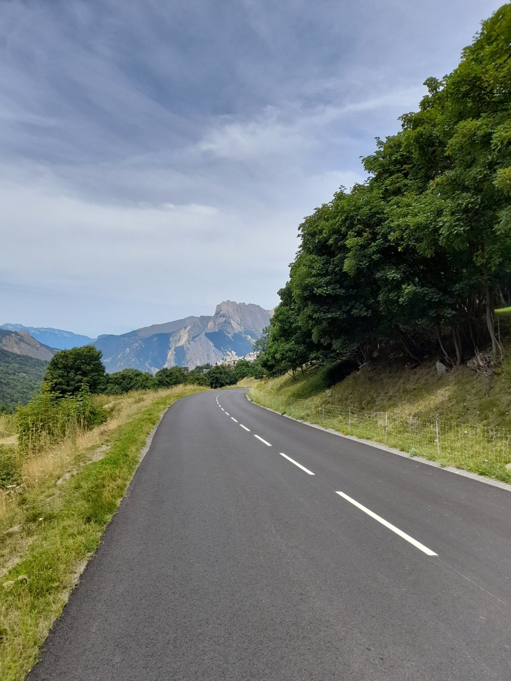
Valmeinier 1800 from Saint Michel de Maurienne is a climb in the region La Maurienne. It is 10.4 mi long and bridges 3747 ft of vertical ascent with an average gradient of 6.8%, resulting in a difficulty score of 821. The top of the ascent is located at 6083 ft above sea level. Climbfinder users shared 6 reviews of this climb and uploaded 5 photos.

Road names: Rue du Galibier, D902 & D215A

3.0 by EddyS
This is an automatic translation, the original language is: Dutch.
First part is the well-known telegraphe, after the turn there are still 7 km's to climb with a short descent in between. In the beginning reasonably some shadow thanks to the trees, afterwards only bright sun. On the telegraphe the known busy traffic, afterwards it is much quieter.... read more

Photos (5)

Valmeinier 1800 from Saint Michel de Maurienne
transparant thumb

Your uploads (max 4)

Welcome! Please activate your account if you would like to share something. Look for the verification email in your inbox.

If you want to upload your photos, you need to create an account. It only takes 1 minute and it's completely free.

  • Receive free climbfinder goodies for your reviews & photos.
  • Create a bucket list and check off conquered climbs.
  • Add missing climbs.
Continue with GoogleContinue with Google Continue with FacebookContinue with Facebook Continue with AppleContinue with Apple Sign up with email
By signing up you agree to our terms of service and confirm that you have read our privacy & content policy.

Reviews (6)

5.0
4.0
3.0
2.0
1.0
Herve2023
9 Mo 3.0
This is an automatic translation, the original language is: French. Show original

I agree with the previous comments, particularly MarijnS: the descent is superb.
The climb is fairly regular and much calmer once you leave the Route du Télégraphe.
And indeed, in midsummer in the middle of the day, it gets very hot.
But in itself, this fairly long climb is not very difficult.

Je rejoins les précédents commentaires et notamment MarijnS : la descente est superbe.
La montée est assez régulière et bien plus calme dès que l'on quitte la route du Télégraphe.
Et en effet, en plein été en milieu de journée il y fait très chaud.
Mais en soi, cette assez longue ascension n'est pas très difficile.

Dashboard
marijnS
9 Mo 4.0 via the Climbfinder app
This is an automatic translation, the original language is: Dutch. Show original

The Dauphine ended here in 2025 after riding over the Madeleine and the Croix de Fer. Beautiful tight road with flat hairpin bends to recover for a while. Straight through alpine meadows and therefore still quite tough because of the scorching sun (14:30). The descent is great.

De Dauphine eindigde hier in 2025 na een rit over de Madeleine en de Croix de Fer. Prachtige strakke weg met vlakke haarspeldbochten om even te herstellen. Dwars door de alpenweiden en daardoor toch best pittig vanwege de brandende zon (14:30 uur). De afdaling is geweldig.

Dashboard
Cyclopaat
3 y 4.0

As reported by others, busy Télégraphe part first, until the split at ~3 km from that summit. The fork to Valmenier is way more quiet and has wide open views. On a mountain bike, you can probably get to > 2,000 m....

Valmeinier 1800 from Saint Michel de Maurienne
Dashboard
EddyS
3 y 3.0
This is an automatic translation, the original language is: Dutch. Show original

First part is the well-known telegraphe, after the turn there are still 7 km's to climb with a short descent in between. In the beginning reasonably some shadow thanks to the trees, afterwards only bright sun. On the telegraphe the known busy traffic, afterwards it is much quieter.

Eerste deel is de gekende telegraphe, na de afslag zijn er nog 7 km's te beklimmen met een korte afdaling ertussen. In het begin redelijk wat schaduw dankzij de bomen, nadien alleen nog maar felle zon. Op de telegraphe het gekende drukke verkeer, nadien is het veel rustiger.

Dashboard
stefanvst
2 y

Ik vraag me altijd af, de Telegraphe wordt door iedereen als druk bestempeld. Wordt het vervolg richting de Galibier dan beter qua autoverkeer of heb je dan gewoon hetzelfde volume aan verkeer als op de Telegraphe?

Dashboard
LucJansen
5 y 5.0 01:26:14 (7.2 mph)
This is an automatic translation, the original language is: French. Show original

Ascent on 31 August 2019 on the 1st day of the Maurienne-Galibier event. A regular climb. In summer, the greatest difficulty is perhaps the traffic and the heat. From Valloire, it's also a great climb for training.

Montée le 31 août 2019 lors du 1er jour de l'événement Maurienne-Galibier. Montée régulière. En été, la plus grande difficulté est peut-être le trafic et la chaleur. Depuis Valloire, c'est aussi une belle montée pour s'entraîner.

Dashboard

Climbing times

5 mph 02:05:16
7 mph 01:28:41
9 mph 01:09:07
12 mph 00:51:55

Road surface condition

100% 0% 0%
Based on 3 votes
Share your knowledge. What was the road condition during your ascent?

Traffic

25% 75% 0%
Based on 4 votes
Your experience counts. How much traffic did you encounter during the climb?

Frequently Asked Questions

You don't need special gearing for Valmeinier 1800 from Saint Michel de Maurienne. The slope isn't long or steep enough to require much shifting down. You can conquer this climb on power alone. However, a compact gearing system with a smallest front chainring of 34 and largest rear sprocket of 28 or 30 is always nice if you enjoy cycling uphill. This helps maintain a smooth cadence.

Valmeinier 1800 from Saint Michel de Maurienne is a first-category climb: long and tough. Do not underestimate this climb. Many famous Tour de France cols fall into this category. Prepare for a long, challenging ride. Only well-trained riders will reach the top smoothly. Make sure you have a road bike with climbing gears and enough training; otherwise, it will be a struggle.

Valmeinier 1800 from Saint Michel de Maurienne is 10.4 mi long.

The average gradient of Valmeinier 1800 from Saint Michel de Maurienne is 6.8%.

Valmeinier 1800 from Saint Michel de Maurienne has a steepest segment with an average gradient of 9.5%.

The summit of Valmeinier 1800 from Saint Michel de Maurienne is at 6083 ft.

At a slow pace of 5 mph, it takes about 02:05:16 to climb Valmeinier 1800 from Saint Michel de Maurienne. At 7 mph the time is 01:28:41, and at 9 mph 01:09:07. For the fastest cyclists, 00:51:55 is an achievable time.

Valmeinier 1800 from Saint Michel de Maurienne is located in the region Savoie in France.

This page is better in the app

Climbfinder app
Climbfinder
(Free)
Open