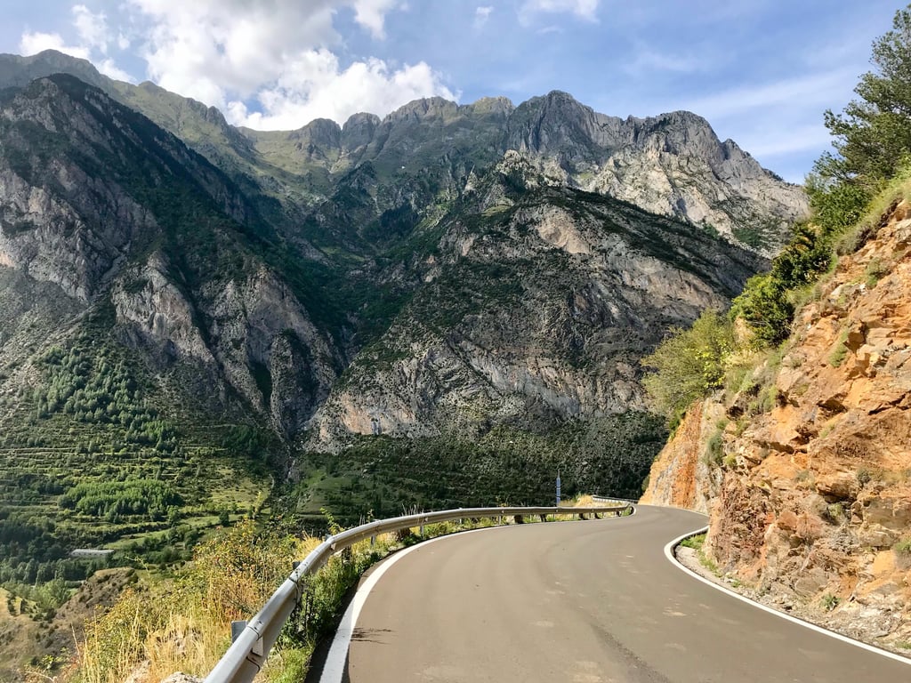
Cerler / Valle del Ampriu is a climb in the region Spanish Pyrenees. It is 7.4 mi long and bridges 2539 ft of vertical ascent with an average gradient of 6.5%, resulting in a difficulty score of 620. The top of the ascent is located at 6270 ft above sea level. Climbfinder users shared 4 reviews of this climb and uploaded 10 photos.
Road name: A-2617
5.0 by AvivaThis is an automatic translation, the original language is: English.Such a beautiful ride, good pavement made the down lovely too and when I did it I had no traffic. Very enjoyable ride and a good leg workout.... read more

Welcome! Please activate your account if you would like to share something. Look for the verification email in your inbox.
If you want to upload your photos, you need to create an account. It only takes 1 minute and it's completely free.
Such a beautiful ride, good pavement made the down lovely too and when I did it I had no traffic. Very enjoyable ride and a good leg workout.
A beautiful climb toward the ski resort; very quiet, except for a herd of 100 cows.
Prachtige klim richting skigebied, erg rustig op een kudde van 100 koeien na.
Must do climb from the Benasque valley . Some light traffic from the roundabout at km0 up to Cerler ( about 4 km) , after that very few cars, even in mid August.
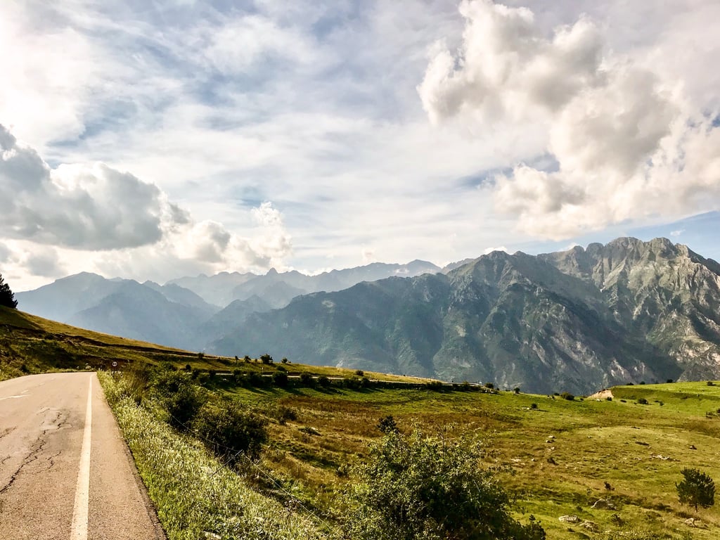
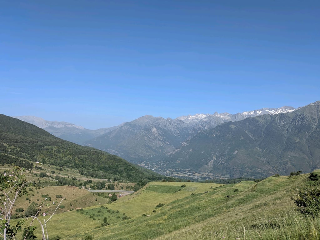
Gradients are hard work but great mountain scenery , opening up to the ski bowl at the top.
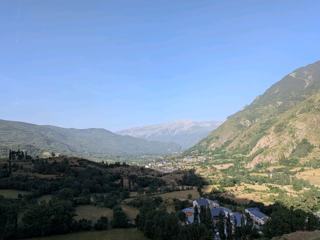
Departure in the afternoon. I live in Benasque, so it is our "local" pass. It is always hard because of its continuity in hard ramps, but it is always spectacular, one of the best views of the Pyrenean passes. A must for all cycle tourists and to enjoy all the other attractions of the Benasque Valley.
Salida por la tarde. Vivo en Benasque, así que es nuestro puerto "local". Siempre se hace duro por su continuidad en rampas duras, pero siempre es espectacular, de las mejores vistas de los puertos del Pirineo. Visita obligada para todo cicloturista y a disfrutar de todo el resto de atractivos del Valle de Benasque.
| 5 mph | 01:29:37 |
| 7 mph | 01:03:26 |
| 9 mph | 00:49:26 |
| 12 mph | 00:37:08 |
This page is better in the app