Val Nambrone from Carisolo is a climb in the region Trento. It is 5.2 mi long and bridges 1909 ft of vertical ascent with an average gradient of 6.9%, resulting in a difficulty score of 504. The top of the ascent is located at 4554 ft above sea level. Climbfinder users shared 2 reviews of this climb and uploaded 5 photos.
Road name: SS239
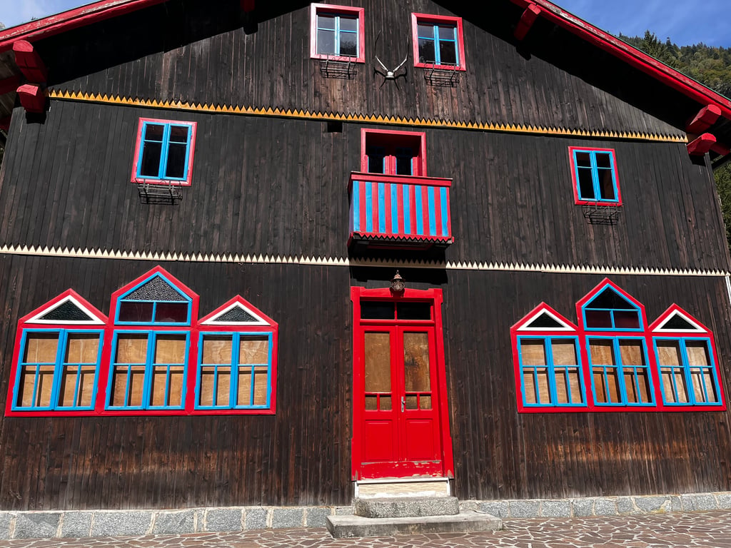
4.0 by SiardThis is an automatic translation, the original language is: Dutch.Nice climb to do, narrow road in some places. It does have a small tunnel (uphill), lighting is recommended. The road surface is mostly good, at the end the road surface is a bit rough. Just before the end there is a food/drink facility, and it is also nice to have a picnic by the water at the end. It is possible to cycle on to Rifugio Cornisello, about 7km. The first part of this road is very rough with potholes and quite steep. The last kilometres this gets better. (The first 2 pictures'... read more
Welcome! Please activate your account if you would like to share something. Look for the verification email in your inbox.
If you want to upload your photos, you need to create an account. It only takes 1 minute and it's completely free.
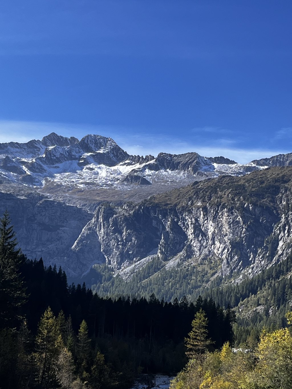
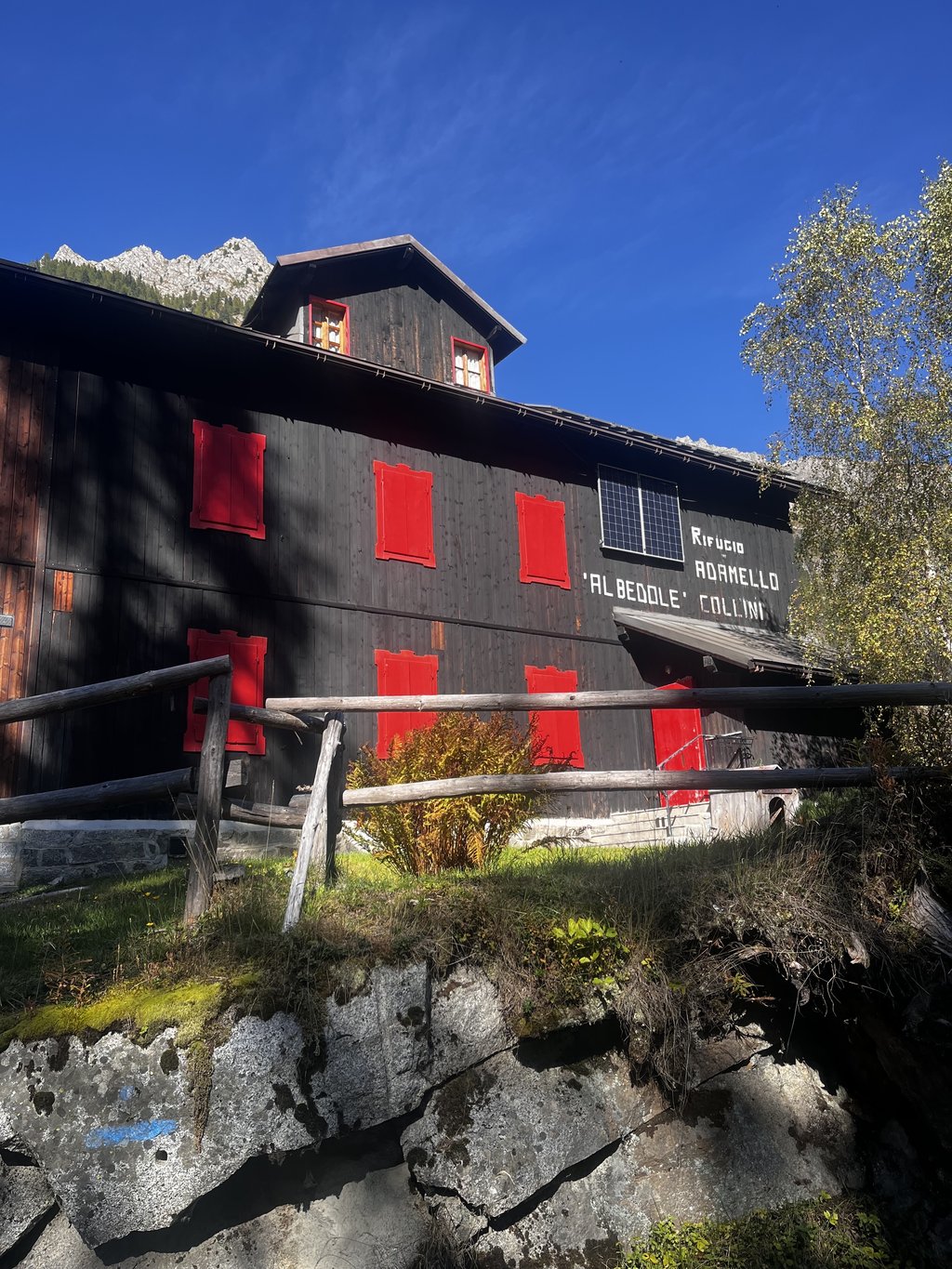
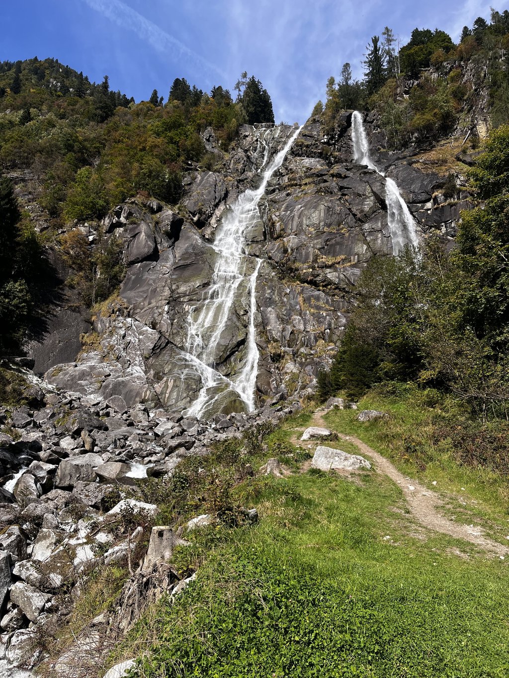
Probably one of the most beautiful climbs I have ever done. Wonderful views, steep slopes in some sections but never above 14%. Asphalt in some sections not perfect but absolutely practicable. It is definitely worth a visit to get as far as the Bedole refuge, where the route ends shortly afterwards (continue on foot to the glacier). It is recommended to do this in the summer months, as in October the descent was particularly cold in the shaded areas.
Probabilmente una delle salite più belle mai fatte. Scorci meravigliosi pendenze in alcuni tratti impegnative ma mai sopra il 14%. Asfalto in alcuni tratti non perfetto ma assolutamente praticabile. Merita sicuramente una visita eval la pena arrivare fino al rifugio Bedole, dove poco dopo il percorso si esaurisce (si prosegue a piedi verso il Ghiacciaio). Si consiglia di farlo nei mesi estivi, fatto ad ottobre la discesa è stata particolarmente fredda nelle zone in ombra.
Nice climb to do, narrow road in some places. It does have a small tunnel (uphill), lighting is recommended. The road surface is mostly good, at the end the road surface is a bit rough. Just before the end there is a food/drink facility, and it is also nice to have a picnic by the water at the end.
It is possible to cycle on to Rifugio Cornisello, about 7km. The first part of this road is very rough with potholes and quite steep. The last kilometres this gets better.
(The first 2 pictures's are of the route to Rif. Cornisello and views from this Rifugio).
Leuke klim om te doen, op sommige plekken even een smalle weg. Er zit (omhoog) wel een tunneltje in, verlichting is aan te raden. Het wegdek is grotendeels goed, op het einde is het wegdek wat ruw. Even voor het einde is een eet-/drinkgelegenheden aanwezig, ook is het leuk om op het eindpunt te picknicken aan het water.
Het is mogelijk om door te fietsen naar Rifugio Cornisello, ca. 7km. Het eerste deel van deze weg is het wegdek erg ruw met gaten en behoorlijk steil. De laatste kilometers wordt dit beter.
(De eerste 2 foto's zijn van de route naar Rif. Cornisello en uitzicht vanaf deze Rifugio).
| 5 mph | 01:02:55 |
| 7 mph | 00:44:32 |
| 9 mph | 00:34:43 |
| 12 mph | 00:26:04 |
This page is better in the app