View on map
© MapLibre | OpenStreetMap contributors
1%
2%
4%
6%
8%
10%
12%
15%
20%

Tüsterberg

2.0
1 review/story | Elevation profile | 1 photo
Tüsterberg
transparant thumb
transparant thumb
transparant thumb
transparant thumb
transparant thumb
transparant thumb
transparant thumb
Your achievable time
Calculating based on your best performances...
Relaxed
Maximum
W/kg
W/kg
W/kg
Analyze your climbing performance
Detailed insight into your climbing performance & automatically check off climbs
Based on your best performances.
Your best attempt:
Number of attempts:
Elevation profile Tüsterberg

Statistics

Difficulty points 11
Length 0.5 mi
Average gradient 3.2%
Steepest segment 6.4%
Total ascent 75 ft

Short recap

#8 toughest climb of Uelsener Berge
#25 most elevation gain of Uelsener Berge
#31 longest climb of Uelsener Berge
#3 average steepest climb of Uelsener Berge
Feedback about this climb?
Show climbs nearby Export to GPS device

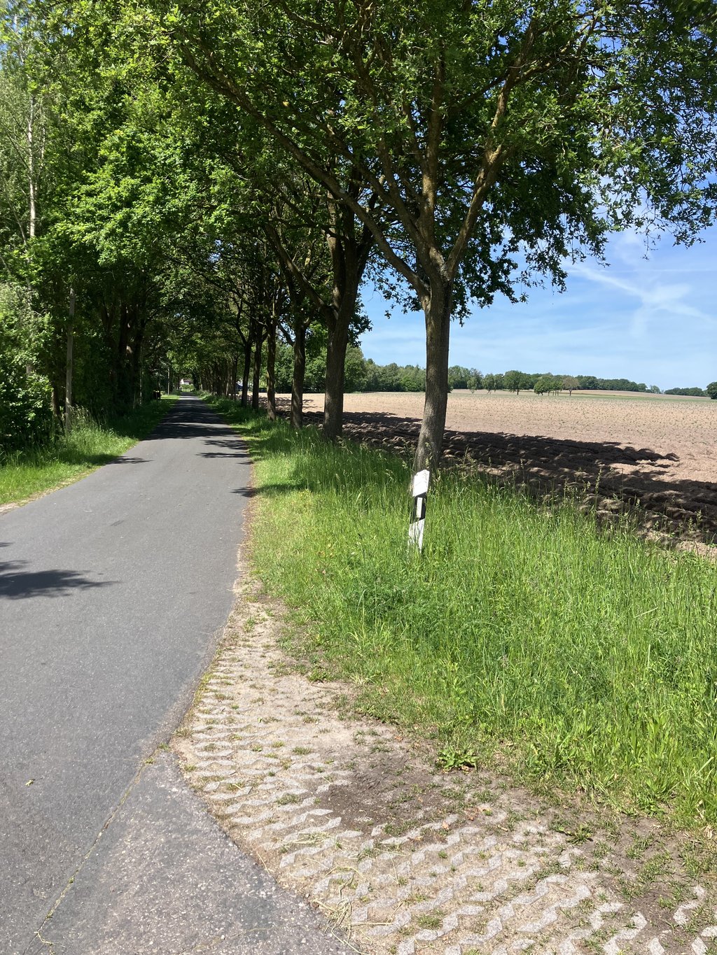
Tüsterberg is a climb in the region Uelsener Berge. It is 0.5 mi long and bridges 75 ft of vertical ascent with an average gradient of 3.2%, resulting in a difficulty score of 11. The top of the ascent is located at 167 ft above sea level. Climbfinder users shared 1 review/story of this climb and uploaded 1 photo.

Road name: Tüsterberg

2.0 by NicodeBree
This is an automatic translation, the original language is: Dutch.
Slightly sloping road between pastures, so ample visibility all around. A slight climb, just over false flat... read more

Photos (1)

Tüsterberg
transparant thumb
transparant thumb
transparant thumb
transparant thumb
transparant thumb

Your uploads (max 4)

Welcome! Please activate your account if you would like to share something. Look for the verification email in your inbox.

If you want to upload your photos, you need to create an account. It only takes 1 minute and it's completely free.

  • Receive free climbfinder goodies for your reviews & photos.
  • Create a bucket list and check off conquered climbs.
  • Add missing climbs.
Continue with GoogleContinue with Google Continue with FacebookContinue with Facebook Continue with AppleContinue with Apple Sign up with email
By signing up you agree to our terms of service and confirm that you have read our privacy & content policy.

Reviews (1)

5.0
4.0
3.0
2.0
1.0
NicodeBree
2 w 2.0
This is an automatic translation, the original language is: Dutch. Show original

Slightly sloping road between pastures, so ample visibility all around. A slight climb, just over false flat

Licht glooiende weg tussen de weilanden door, dus ruim zicht rondom. Een licht klimmetje, net iets meer dan vals plat

Dashboard

Climbing times

5 mph 00:05:26
7 mph 00:03:51
9 mph 00:03:00
12 mph 00:02:15

Road surface condition

100% 0% 0%
Based on 1 vote
Share your knowledge. What was the road condition during your ascent?

Traffic

100% 0% 0%
Based on 1 vote
Your experience counts. How much traffic did you encounter during the climb?

Frequently Asked Questions

You don't need special gearing for Tüsterberg. The slope isn't long or steep enough to require much shifting down. You can conquer this climb on power alone. However, a compact gearing system with a smallest front chainring of 34 and largest rear sprocket of 28 or 30 is always nice if you enjoy cycling uphill. This helps maintain a smooth cadence.

Tüsterberg is not tough enough to be assigned a mountain category. This means that even untrained cyclists can reach the top without any problems on this climb.

Tüsterberg is 0.5 mi long.

The average gradient of Tüsterberg is 3.2%.

Tüsterberg has a steepest segment with an average gradient of 6.4%.

The summit of Tüsterberg is at 167 ft.

At a slow pace of 5 mph, it takes about 00:05:26 to climb Tüsterberg. At 7 mph the time is 00:03:51, and at 9 mph 00:03:00. For the fastest cyclists, 00:02:15 is an achievable time.

Tüsterberg is located in the region Lower Saxony in Germany.

This page is better in the app

Climbfinder app
Climbfinder
(Free)
Open