View on map
© MapLibre | OpenStreetMap contributors
1%
2%
4%
6%
8%
10%
12%
15%
20%

Tschenglsberg / Hinterburg via Via Landstrasse

0 reviews | Elevation profile | 0 photos
Tips nearby
Your achievable time
Calculating based on your best performances...
Relaxed
Maximum
W/kg
W/kg
W/kg
Analyze your climbing performance
Detailed insight into your climbing performance & automatically check off climbs
Based on your best performances.
Your best attempt:
Number of attempts:
Elevation profile Tschenglsberg / Hinterburg via Via Landstrasse

Statistics

Difficulty points 457
Length 3.3 mi
Average gradient 8.8%
Steepest segment 16.2%
Total ascent 1512 ft

Short recap

Hidden gem
4 hairpin turns
Feedback about this climb?
Show climbs nearby Export to GPS device

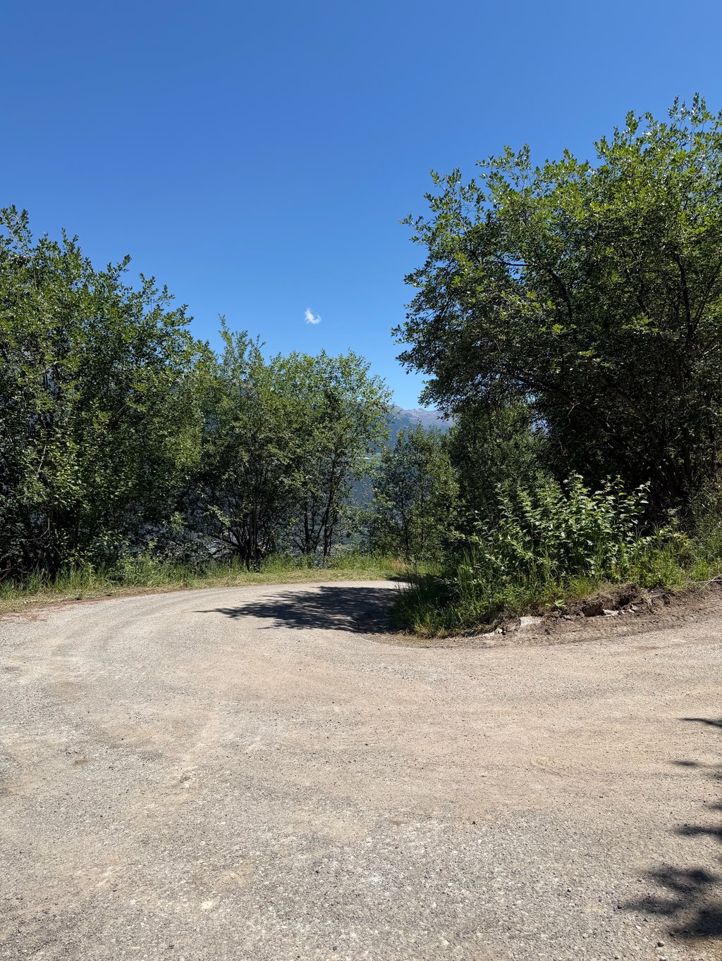
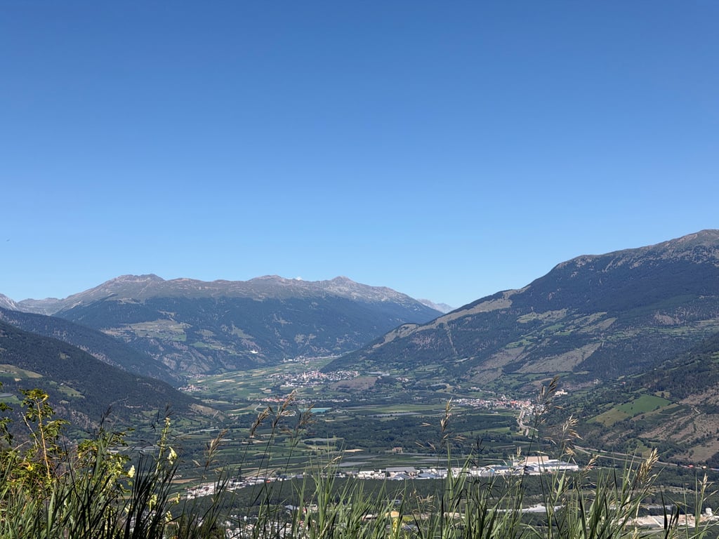
Tschenglsberg / Hinterburg via Via Landstrasse is a climb in the region Bolzano. It is 3.3 mi long and bridges 1512 ft of vertical ascent with an average gradient of 8.8%, resulting in a difficulty score of 457. The top of the ascent is located at 4409 ft above sea level. Climbfinder users shared 0 reviews of this climb and uploaded 0 photos.

Road names: Via Landstrasse, Via Tuchbleiche, Schlossweg, Bergerweg & Hinterburgerwaldweg

Photos (0)

transparant thumb
transparant thumb
transparant thumb
transparant thumb
transparant thumb
transparant thumb

Your uploads (max 4)

Welcome! Please activate your account if you would like to share something. Look for the verification email in your inbox.

If you want to upload your photos, you need to create an account. It only takes 1 minute and it's completely free.

  • Receive free climbfinder goodies for your reviews & photos.
  • Create a bucket list and check off conquered climbs.
  • Add missing climbs.
Continue with GoogleContinue with Google Continue with FacebookContinue with Facebook Continue with AppleContinue with Apple Sign up with email
By signing up you agree to our terms of service and confirm that you have read our privacy & content policy.

Reviews (0)

5.0
4.0
3.0
2.0
1.0

Climbing times

5 mph 00:39:19
7 mph 00:27:50
9 mph 00:21:41
12 mph 00:16:17

Road surface condition

0% 0% 0%
Based on 0 votes
Share your knowledge. What was the road condition during your ascent?

Traffic

0% 0% 0%
Based on 0 votes
Your experience counts. How much traffic did you encounter during the climb?

Frequently Asked Questions

Tschenglsberg / Hinterburg can be cycled from 2 sides. Tschenglsberg / Hinterburg via Via Landstrasse is the most popular side, but the summit can also be reached via Tschenglsberg / Hinterburg via Spondinigerstrasse.

Tschenglsberg / Hinterburg via Via Landstrasse is a challenging ascent. For this type of climbing, we recommend mountain gearing, specifically a compact system. This means a small front chainring of 34 teeth, combined with a rear cassette where, depending on your level, strength, and experience, you choose a sprocket with 30, 32, or even 34 teeth. Remember that a smooth cadence is always more efficient!

Tschenglsberg / Hinterburg via Via Landstrasse is a serious climb and falls into the 2nd category. With a good basic fitness level, even without much cycling experience, you can complete this climb just fine. However, a bike with climbing gears is a must. Without experience or training, it will be really tough – but that’s part of the challenge!

Tschenglsberg / Hinterburg via Via Landstrasse is 3.3 mi long.

The average gradient of Tschenglsberg / Hinterburg via Via Landstrasse is 8.8%.

Tschenglsberg / Hinterburg via Via Landstrasse has a steepest segment with an average gradient of 16.2%.

The summit of Tschenglsberg / Hinterburg via Via Landstrasse is at 4409 ft.

At a slow pace of 5 mph, it takes about 00:39:19 to climb Tschenglsberg / Hinterburg via Via Landstrasse. At 7 mph the time is 00:27:50, and at 9 mph 00:21:41. For the fastest cyclists, 00:16:17 is an achievable time.

Tschenglsberg / Hinterburg via Via Landstrasse is located in the region Bolzano in Italy.

This page is better in the app

Climbfinder app
Climbfinder
(Free)
Open