View on map
© MapLibre | OpenStreetMap contributors
1%
2%
4%
6%
8%
10%
12%
15%
20%

Trierer Strasse from Vennbahnweg

2.0
2 reviews | Elevation profile | 3 photos
Tips nearby
Trierer Strasse from Vennbahnweg
transparant thumb
transparant thumb
transparant thumb
transparant thumb
transparant thumb
Your achievable time
Calculating based on your best performances...
Relaxed
Maximum
W/kg
W/kg
W/kg
Analyze your climbing performance
Detailed insight into your climbing performance & automatically check off climbs
Based on your best performances.
Your best attempt:
Number of attempts:
Elevation profile Trierer Strasse from Vennbahnweg

Statistics

Difficulty points 5
Length 0.3 mi
Average gradient 3.1%
Steepest segment 4.1%
Total ascent 56 ft
Feedback about this climb?
Show climbs nearby Export to GPS device

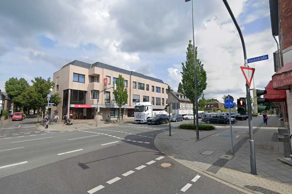
Trierer Strasse from Vennbahnweg is a climb in the region Cologne. It is 0.3 mi long and bridges 56 ft of vertical ascent with an average gradient of 3.1%, resulting in a difficulty score of 5. The top of the ascent is located at 866 ft above sea level. Climbfinder users shared 2 reviews of this climb and uploaded 3 photos.

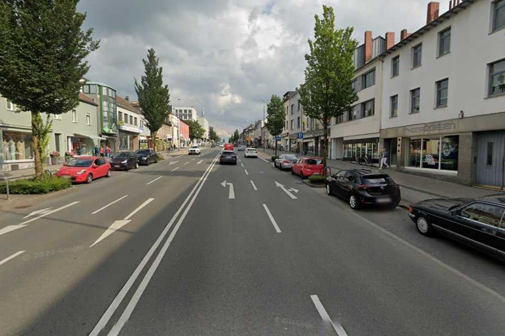
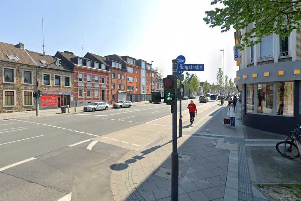
Road names: Ringstraße & Trierer Straße

2.0 by Fedor
This is an automatic translation, the original language is: Dutch.
Climb along a tiled cycle path along a straight road towards a clear summit. The road is very busy (that in itself does not bother you) and you ride past all kinds of shops so you do have to watch out for pedestrians. The climb is an excellent connecting route from Aachen into the Eifel, though.... read more

Photos (3)

Trierer Strasse from Vennbahnweg
transparant thumb
transparant thumb
transparant thumb

Your uploads (max 4)

Welcome! Please activate your account if you would like to share something. Look for the verification email in your inbox.

If you want to upload your photos, you need to create an account. It only takes 1 minute and it's completely free.

  • Receive free climbfinder goodies for your reviews & photos.
  • Create a bucket list and check off conquered climbs.
  • Add missing climbs.
Continue with GoogleContinue with Google Continue with FacebookContinue with Facebook Continue with AppleContinue with Apple Sign up with email
By signing up you agree to our terms of service and confirm that you have read our privacy & content policy.

Reviews (2)

5.0
4.0
3.0
2.0
1.0
Fedor
11 Mo 2.0
This is an automatic translation, the original language is: Dutch. Show original

Climb along a tiled cycle path along a straight road towards a clear summit. The road is very busy (that in itself does not bother you) and you ride past all kinds of shops so you do have to watch out for pedestrians. The climb is an excellent connecting route from Aachen into the Eifel, though.

Klim over een tegelfietspad langs een rechte weg richting een duidelijke top. De weg is zeer druk (daar heb je op zich geen last van) en je rijdt langs allerlei winkels dus je moet wel op voetgangers opletten. De klim is wel een uitstekende verbindingsroute vanuit Aachen de Eifel in.

Dashboard
BikerJohan
11 Mo 2.0
This is an automatic translation, the original language is: Dutch. Show original

Climb of over half a kilometre on the main road from Schönforst to Brand. Except for a peak halfway up, the climb goes up in a tight gradient

Klim van ruim een halve kilometer op de doorgaande weg van Schönforst naar Brand. Op piekje halfverwege na loopt de klim in een strak stijgingspercentage omhoog

Dashboard

Climbing times

5 mph 00:04:07
7 mph 00:02:55
9 mph 00:02:16
12 mph 00:01:42

Road surface condition

0% 0% 0%
Based on 0 votes
Share your knowledge. What was the road condition during your ascent?

Traffic

0% 0% 0%
Based on 0 votes
Your experience counts. How much traffic did you encounter during the climb?

Frequently Asked Questions

Trierer Strasse can be cycled from 5 sides. Brand via Grachtstrasse is the most popular side, but the summit can also be reached via Brand via Trierer Strasse, Brand via Schroufer Damm, Brand via Nordstrasse & Trierer Strasse from Vennbahnweg.

You don't need special gearing for Trierer Strasse from Vennbahnweg. The slope isn't long or steep enough to require much shifting down. You can conquer this climb on power alone. However, a compact gearing system with a smallest front chainring of 34 and largest rear sprocket of 28 or 30 is always nice if you enjoy cycling uphill. This helps maintain a smooth cadence.

Trierer Strasse from Vennbahnweg is not tough enough to be assigned a mountain category. This means that even untrained cyclists can reach the top without any problems on this climb.

Trierer Strasse from Vennbahnweg is 0.3 mi long.

The average gradient of Trierer Strasse from Vennbahnweg is 3.1%.

Trierer Strasse from Vennbahnweg has a steepest segment with an average gradient of 4.1%.

The summit of Trierer Strasse from Vennbahnweg is at 866 ft.

At a slow pace of 5 mph, it takes about 00:04:07 to climb Trierer Strasse from Vennbahnweg. At 7 mph the time is 00:02:55, and at 9 mph 00:02:16. For the fastest cyclists, 00:01:42 is an achievable time.

Trierer Strasse from Vennbahnweg is located in the region Cologne in Germany.

This page is better in the app

Climbfinder app
Climbfinder
(Free)
Open