Tips nearby


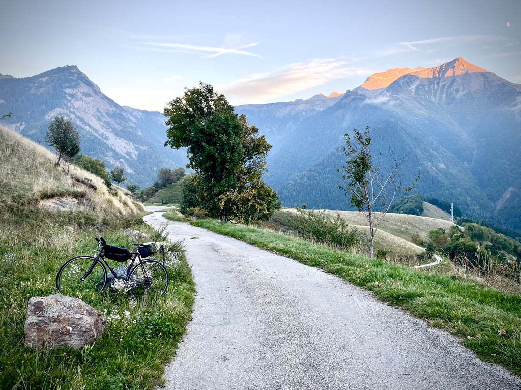
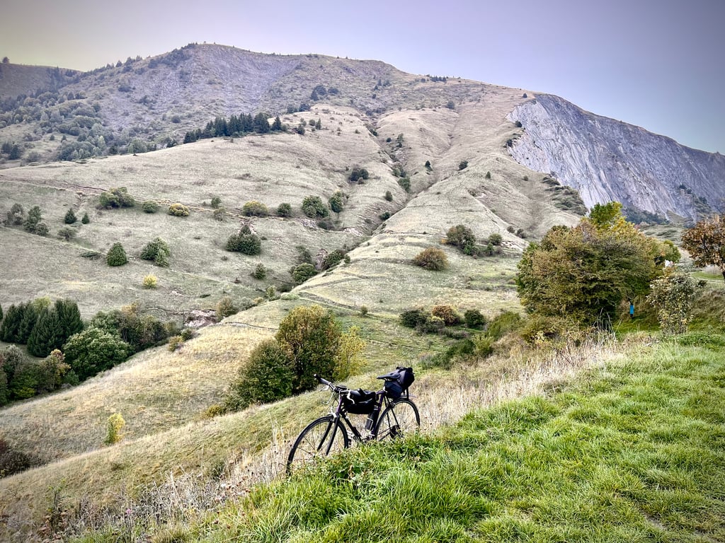
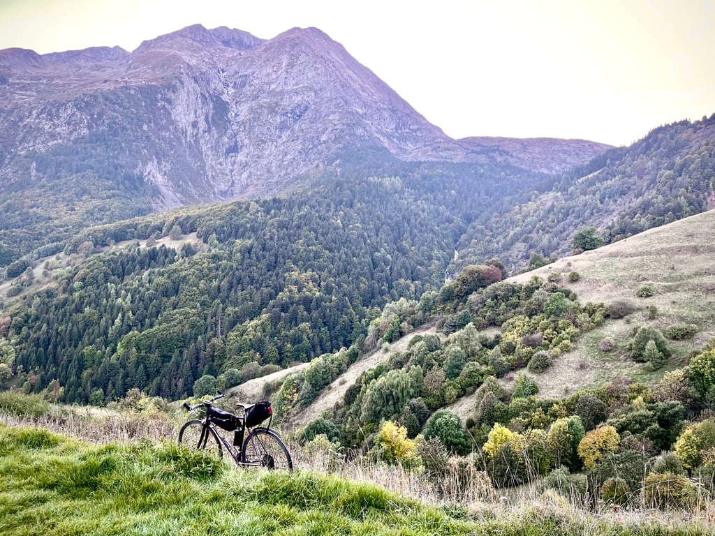
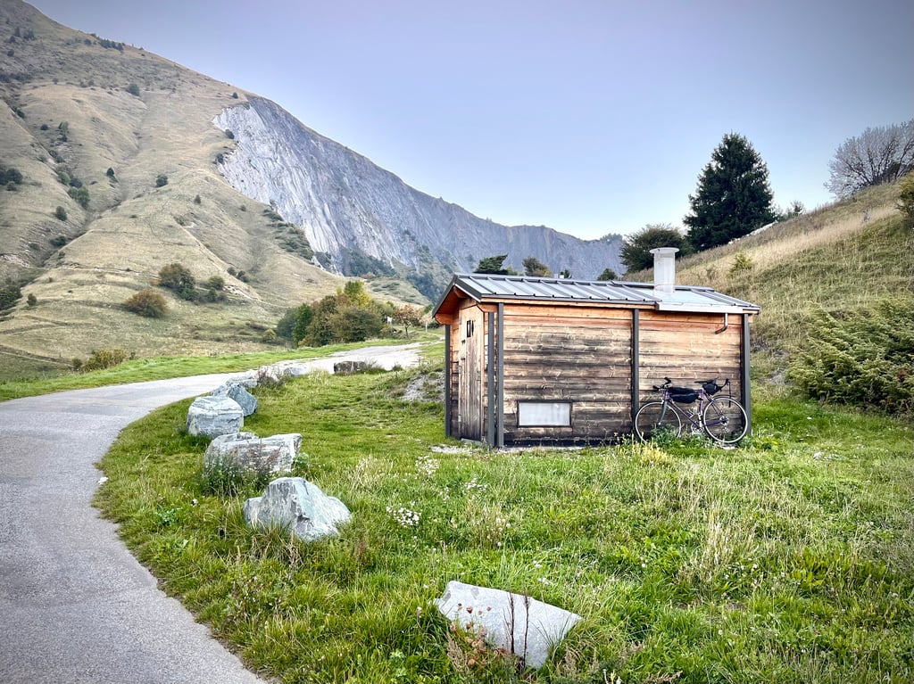
| Beautiful scenery |
| #36 average steepest climb of Isère |
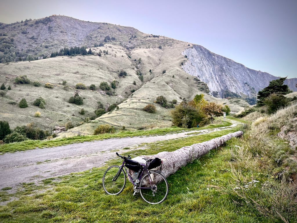
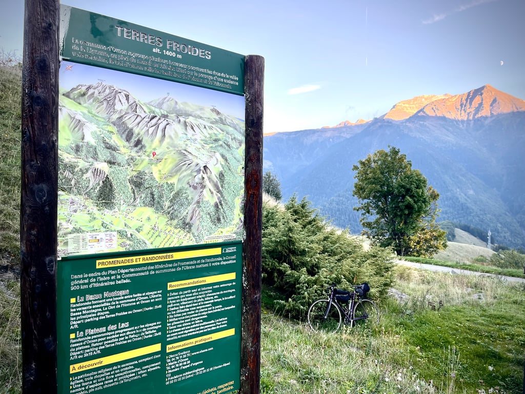
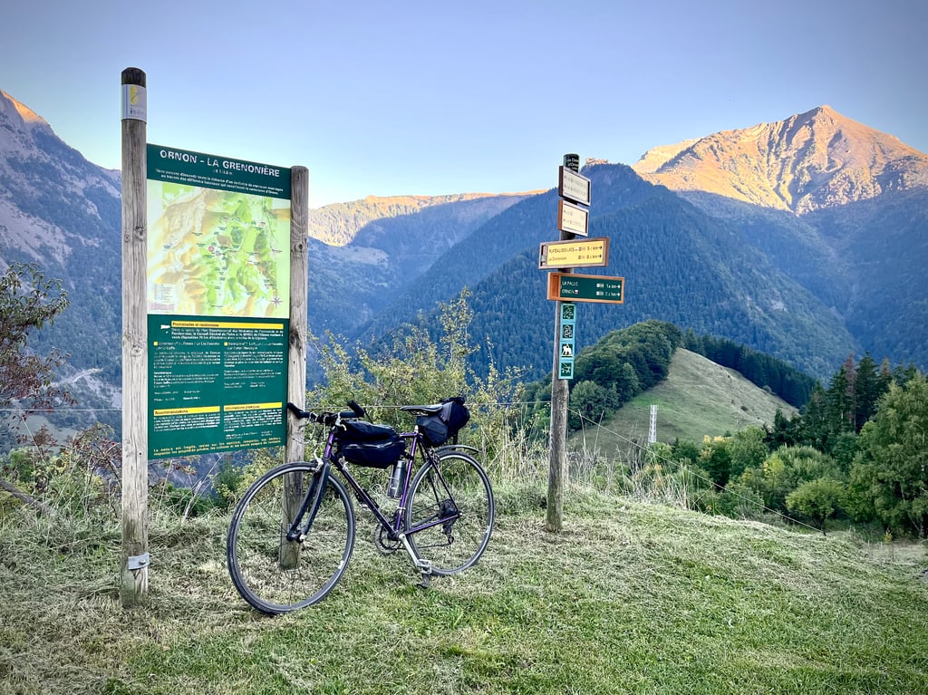
Terres Froides from La Poyat via Ornon is a climb in the region Grenoble. It is 2.4 mi long and bridges 1207 ft of vertical ascent with an average gradient of 9.6%, resulting in a difficulty score of 359. The top of the ascent is located at 4587 ft above sea level. Climbfinder users shared 3 reviews of this climb and uploaded 13 photos.
Road name: Route de la Jasse
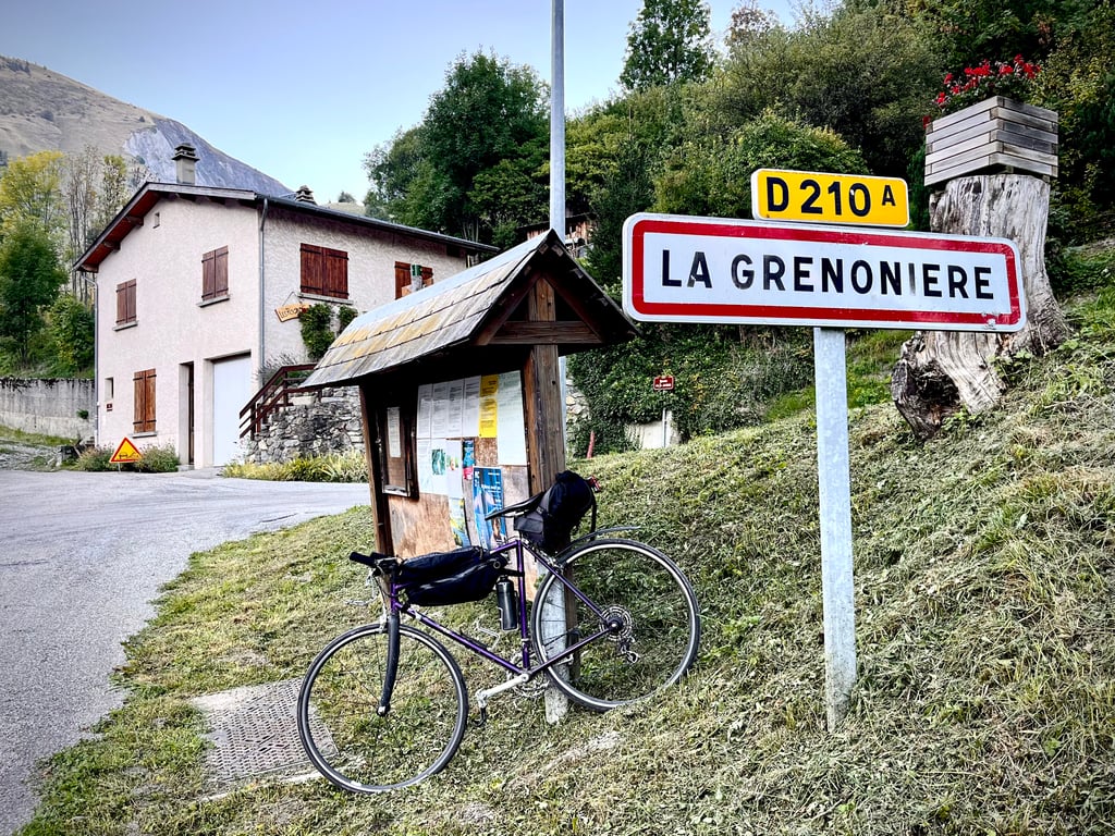
3.0 by CromagnonThis is an automatic translation, the original language is: French.The Climfinder route is correct, but according to local cyclists and the finish signs, the name doesn't suit it. This climb doesn't end at La Grenionière, but 700 metres further on and 100 metres higher. The real name of the site at the end of the route is "Terres Froides". Local cyclists recommend calling it "Terres Froides par La Grenionière" or "Terres Froides par Ornon". And I agree with them 100%. Also, the start is not at Ornon, which is ... read more

Welcome! Please activate your account if you would like to share something. Look for the verification email in your inbox.
If you want to upload your photos, you need to create an account. It only takes 1 minute and it's completely free.
The Climfinder route is correct, but according to local cyclists and the finish signs, the name doesn't suit it.
This climb doesn't end at La Grenionière, but 700 metres further on and 100 metres higher.
The real name of the site at the end of the route is "Terres Froides".
Local cyclists recommend calling it "Terres Froides par La Grenionière" or "Terres Froides par Ornon". And I agree with them 100%.
Also, the start is not at Ornon, which is 1250m above sea level. At the same time in the area, everything refers to Ornon, so, it's a bit complicated to get your bearings.
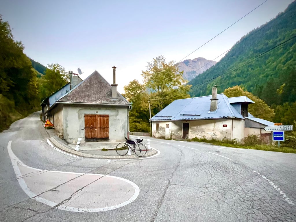
The start is at the junction between the D526, which leads to the Col d'Ornon, and the small D210A, which takes you to Ornon after a 2.5km climb.
In any case, this climb may be fairly short, but it's a sustained one.
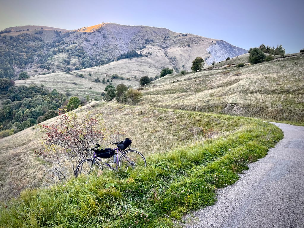
The views from the top are pretty good.
Le tracé de Climfinder est correct, mais, selon les cyclistes locaux et selon les panneaux d’arrivée, le nom ne convient pas du tout.
Cette ascension ne se termine pas à La Grenionière mais 700 mètres plus loin et 100 altimètres plus haut.
Le vrai nom du site qui achève le parcours, c’est « Terres Froides ».
Les cyclistes du coin recommandent de la renommer : « Terres Froides par La Grenionière » ou encore « Terres Froides par Ornon ».
Et je suis 100% d’accord avec eux.
De même, le départ ne se fait pas à Ornon qui est situé à 1250m d’altitude. A la fois dans le coin, tout se réfère à Ornon, donc, c’est un peu compliqué de se repérer.
Le départ se fait à la jonction entre la D526 qui mène au col d’Ornon et la petite D210A qui vous conduit à Ornon après 2,5km de montée.
En tout cas, cette ascension a beau être assez courte, elle sait grimper de manière bien soutenue.
Là-haut, les vues sont plutôt belles.
Une chouette petite montée exigeante qui vaut le détour.
PS : je ne sais pas trop si mes explications sont claires : l’arrivée n’est pas à La Grenionière, mais plus haut à Terres Froides et c’est là que c’est beau.
Challenging climb. Beautiful views from the summit.
Montée exigeante. Très beaux points de vue au sommet.
| 5 mph | 00:28:48 |
| 7 mph | 00:20:24 |
| 9 mph | 00:15:53 |
| 12 mph | 00:11:56 |
This page is better in the app