Tips nearby


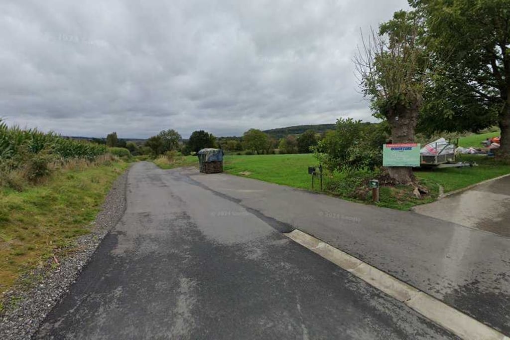
Terbruggen is a climb in the region Pays de Herve. It is 0.1 mi long and bridges 36 ft of vertical ascent with an average gradient of 6.1%, resulting in a difficulty score of 7. The top of the ascent is located at 472 ft above sea level. Climbfinder users shared 2 reviews of this climb and uploaded 4 photos.
Road name: Terbruggen
2.0 by BikerJohanThis is an automatic translation, the original language is: Dutch.Short climb from the Evenbaeg/Terbruggen junction to camping du Vieux Moulin. The asphalt was replaced some time ago and is in fine shape. At the campsite, you can enter the Netherlands on the north side on a gravel path along the Geul and join the climb of Cottessen.... read more
Welcome! Please activate your account if you would like to share something. Look for the verification email in your inbox.
If you want to upload your photos, you need to create an account. It only takes 1 minute and it's completely free.
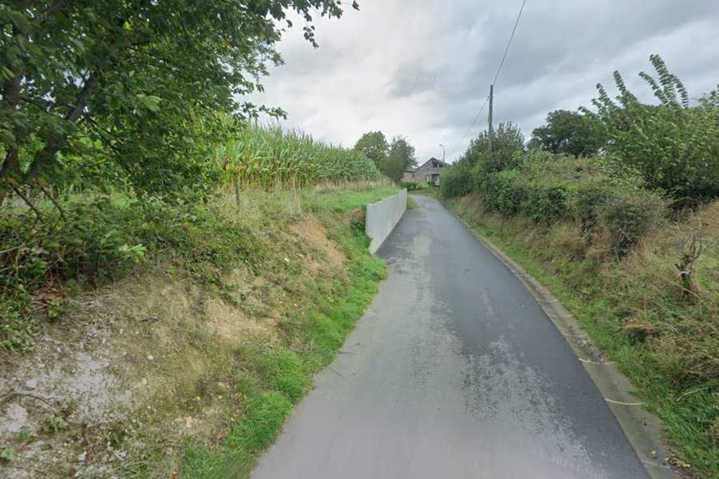
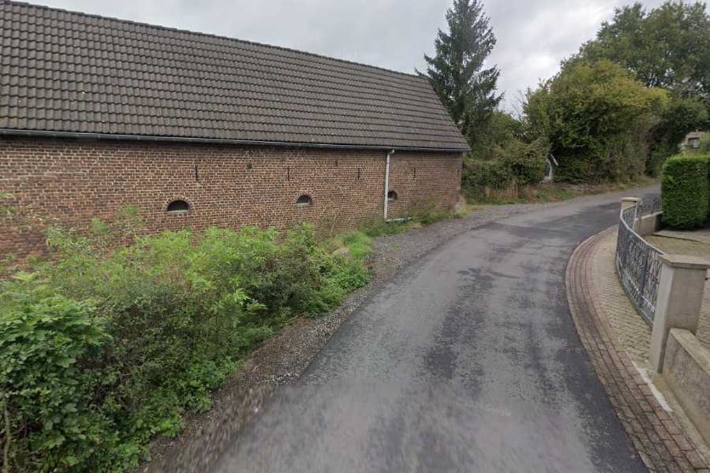
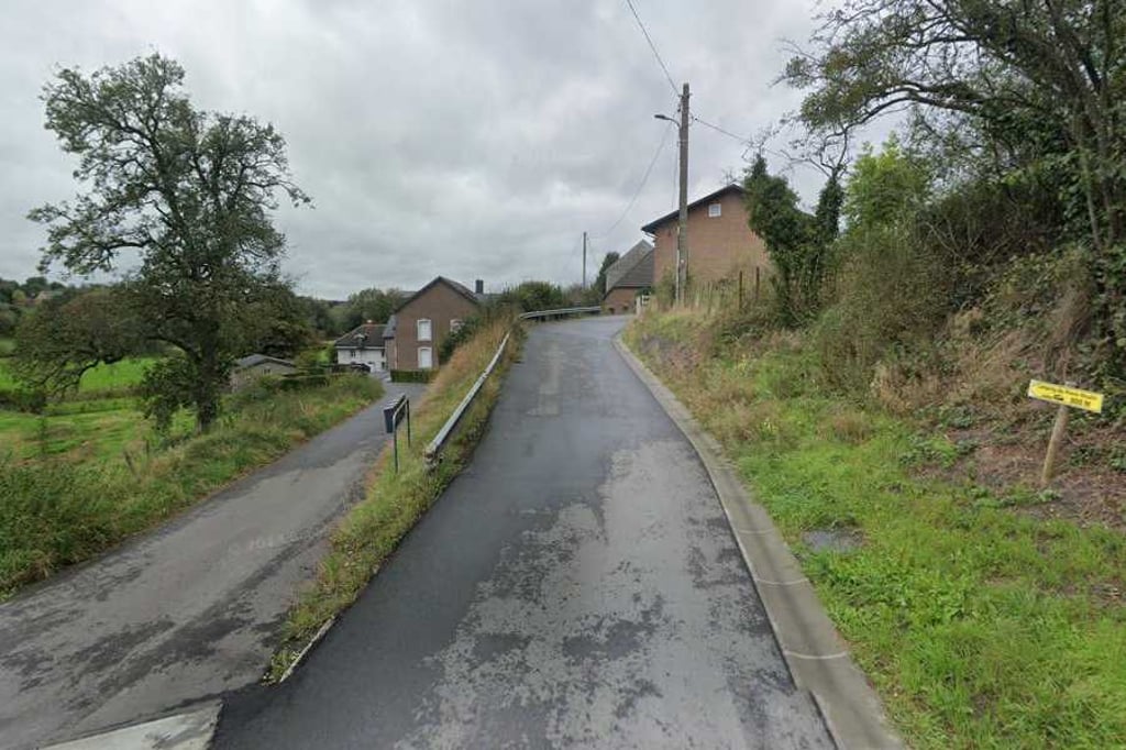
Short climb from the Evenbaeg/Terbruggen junction to camping du Vieux Moulin. The asphalt was replaced some time ago and is in fine shape. At the campsite, you can enter the Netherlands on the north side on a gravel path along the Geul and join the climb of Cottessen.
Kort klimmetje vanaf de splitsing Evenbaeg/Terbruggen naar camping du Vieux Moulin. Het asfalt is enige tijd geleden vervangen en ligt er prima bij. Op de camping kan je aan de noordzijde over een gravelpaadje langs de Geul Nederland binnenrijden en aansluiten de beklimming van Cottessen doen.
A little road from the main road towards the campsite (there is a sign at the turn-off) which runs through quite nice countryside and also rises nicely for a while. The campsite has a nice terrace for a break. The tarmac ends at the campsite, but you can take an unpaved shortcut to the Netherlands (it takes some time to find it at the campsite).
Een weggetje vanaf de hoofdweg richting de camping (er staat een bord bij de afslag) wat door best aardig landschap loopt en ook even lekker oploopt. Op de camping een aardig terras voor een pauze. Het asfalt loopt wel dood bij de camping maar je kan een onverhard doorsteekje naar Nederland maken (is op de camping wel even zoeken).
| 5 mph | 00:01:24 |
| 7 mph | 00:00:59 |
| 9 mph | 00:00:46 |
| 12 mph | 00:00:34 |
This page is better in the app