Tatarenkopf via Eupener Strasse is a climb in the region Cologne. It is 0.4 mi long and bridges 98 ft of vertical ascent with an average gradient of 4.1%, resulting in a difficulty score of 13. The top of the ascent is located at 1014 ft above sea level. Climbfinder users shared 2 reviews of this climb and uploaded 6 photos.
Road names: Eupener Strasse & Augustinerweg
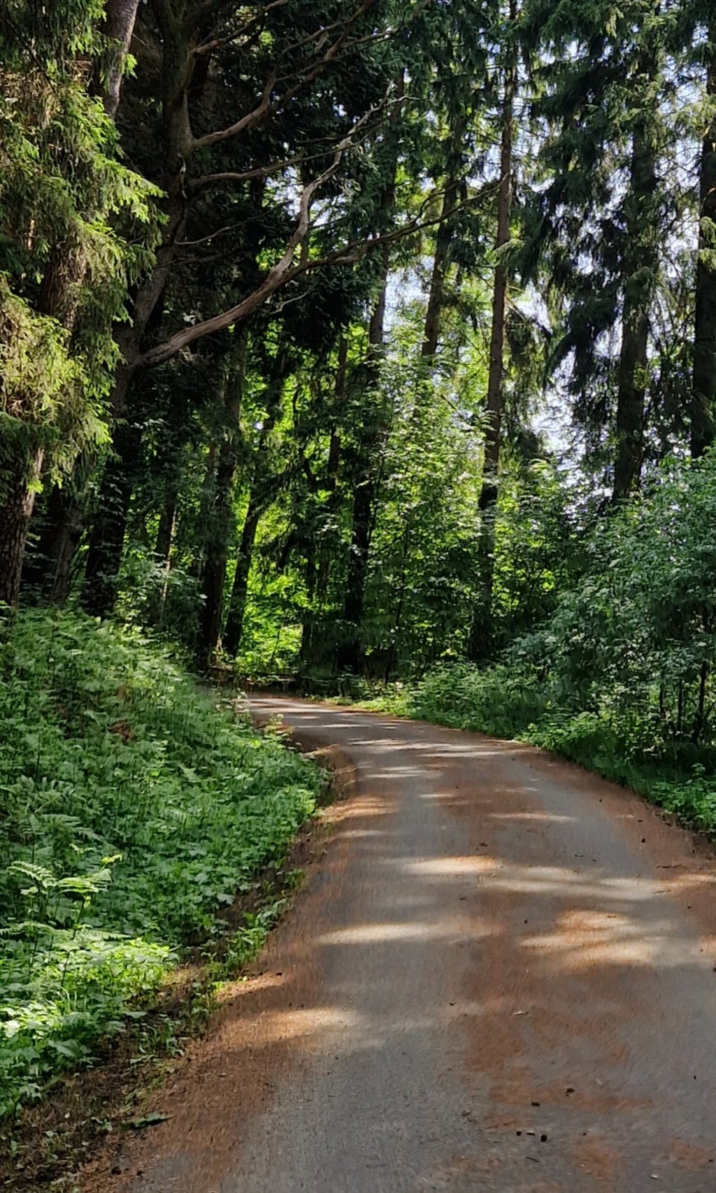
3.0 by JarinThis is an automatic translation, the original language is: Dutch.Nice gradual climb through the forest. Runs nicely on good tarmac. Lots of pine needles though so the road surface can be slippery in humid weather.... read more
Welcome! Please activate your account if you would like to share something. Look for the verification email in your inbox.
If you want to upload your photos, you need to create an account. It only takes 1 minute and it's completely free.
Nice gradual climb through the forest. Runs nicely on good tarmac. Lots of pine needles though so the road surface can be slippery in humid weather.
Mooie geleidelijke klim door het bos. Loopt lekker over goed asfalt. Wel veel dennennaalden dus het wegdek kan bij vochtig weer glad zijn.
From the border you go up along the Eupener Strasse on a tarmac cycle path. Just before the highest point you turn right on a beautiful asphalt road (prohibited for motorised traffic) into the forest. Here it rises nicely for a while after which the road climbs further through the beautiful forest before it slowly flattens out. After the highest point, there is a nice descent. Good tarmac.
Vanaf de grens rijd je over een asfaltfietspad langs de Eupener Strasse omhoog. Vlak voor het hoogste punt ga je rechtsaf via een mooi asfaltweggetje (verboden voor gemotoriseerd verkeer) het bos in. Hier stijgt het even aardig waarna de weg al slingerend door het fraaie bos verder omhoog gaat waarna het langzaam afvlakt. Na het hoogste punt volgt een leuke afdaling. Goed asfalt.
| 5 mph | 00:05:23 |
| 7 mph | 00:03:49 |
| 9 mph | 00:02:58 |
| 12 mph | 00:02:14 |
This page is better in the app