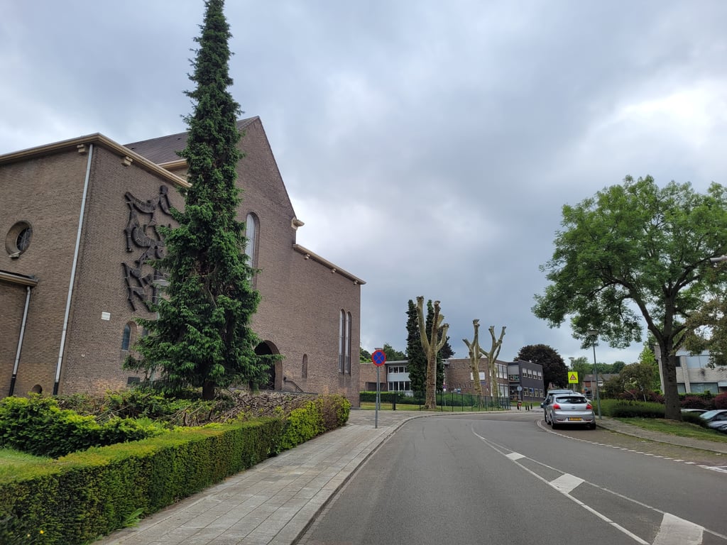
Struweel via Dorpstraat is a climb in the region South Limburg. It is 0.5 mi long and bridges 69 ft of vertical ascent with an average gradient of 2.5%, resulting in a difficulty score of 6. The top of the ascent is located at 335 ft above sea level. Climbfinder users shared 2 reviews of this climb and uploaded 10 photos.
Road names: Dorpstraat & Essenstraat
2.0 by JarinThis is an automatic translation, the original language is: Dutch.Varied reasonably long climb, although a few times (annoyingly) interrupted by roundabouts and intersecting streets. The bit through a wooded area is surprising in a residential area, though.... read more

Welcome! Please activate your account if you would like to share something. Look for the verification email in your inbox.
If you want to upload your photos, you need to create an account. It only takes 1 minute and it's completely free.
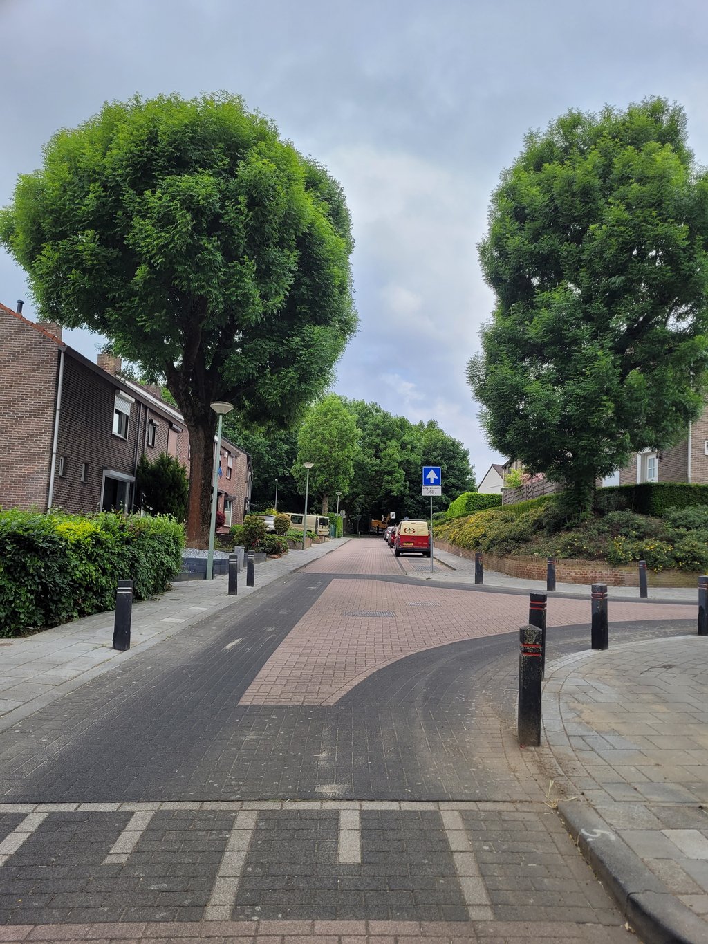
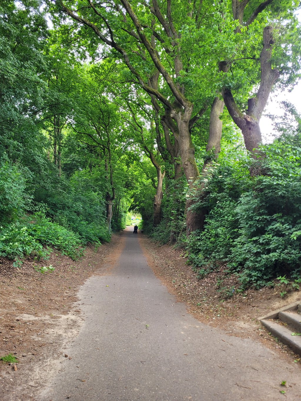
Varied reasonably long climb, although a few times (annoyingly) interrupted by roundabouts and intersecting streets. The bit through a wooded area is surprising in a residential area, though.
Afwisselende redelijk lange klim, die echter wel een paar keer (hinderlijk) door rotondes en kruisende straten wordt onderbroken. Het stukje door een bossage is wel verrassend in een woonwijk.
Light climb. You would normally say it's a runner but because of the varied surface (first wide road, then clinker road, then bike path, then clinkers again and then another bike path but with rough asphalt) you don't have that feeling. The steepest parts are the bike path in the forest and the bike path at the end, but it should not really be named. The route is otherwise simple: keep going straight ahead.
Lichte klim. Je zou normaal zeggen dat het een loper is maar door de gevarieerde ondergrond (eerst brede weg, dan klinkerweg, dan fietspad, dan weer klinkers en dan weer een fietspad maar met ruw asfalt) heb je dat gevoel niet. De "steilste" stukjes zijn het fietspad in het bos en het fietspad op het eind, maar het mag niet echt een naam hebben. De route is verder eenvoudig: continue rechtdoor blijven gaan.
| 5 mph | 00:06:21 |
| 7 mph | 00:04:29 |
| 9 mph | 00:03:30 |
| 12 mph | 00:02:37 |
This page is better in the app