View on map
© MapLibre | OpenStreetMap contributors
1%
2%
4%
6%
8%
10%
12%
15%
20%

Steigung von Reuland

4.0
1 review/story | Elevation profile | 3 photos
Tips nearby
Steigung von Reuland
transparant thumb
transparant thumb
transparant thumb
transparant thumb
transparant thumb
Your achievable time
Calculating based on your best performances...
Relaxed
Maximum
W/kg
W/kg
W/kg
Analyze your climbing performance
Detailed insight into your climbing performance & automatically check off climbs
Based on your best performances.
Your best attempt:
Number of attempts:
Elevation profile Steigung von Reuland

Statistics

Difficulty points 137
Length 1.1 mi
Average gradient 7.3%
Steepest segment 19.1%
Total ascent 430 ft

Short recap

Beautiful scenery
Hidden gem
#25 toughest climb of High Fens & East Cantons
#94 most elevation gain of High Fens & East Cantons
#55 average steepest climb of High Fens & East Cantons
Feedback about this climb?
Show climbs nearby Export to GPS device

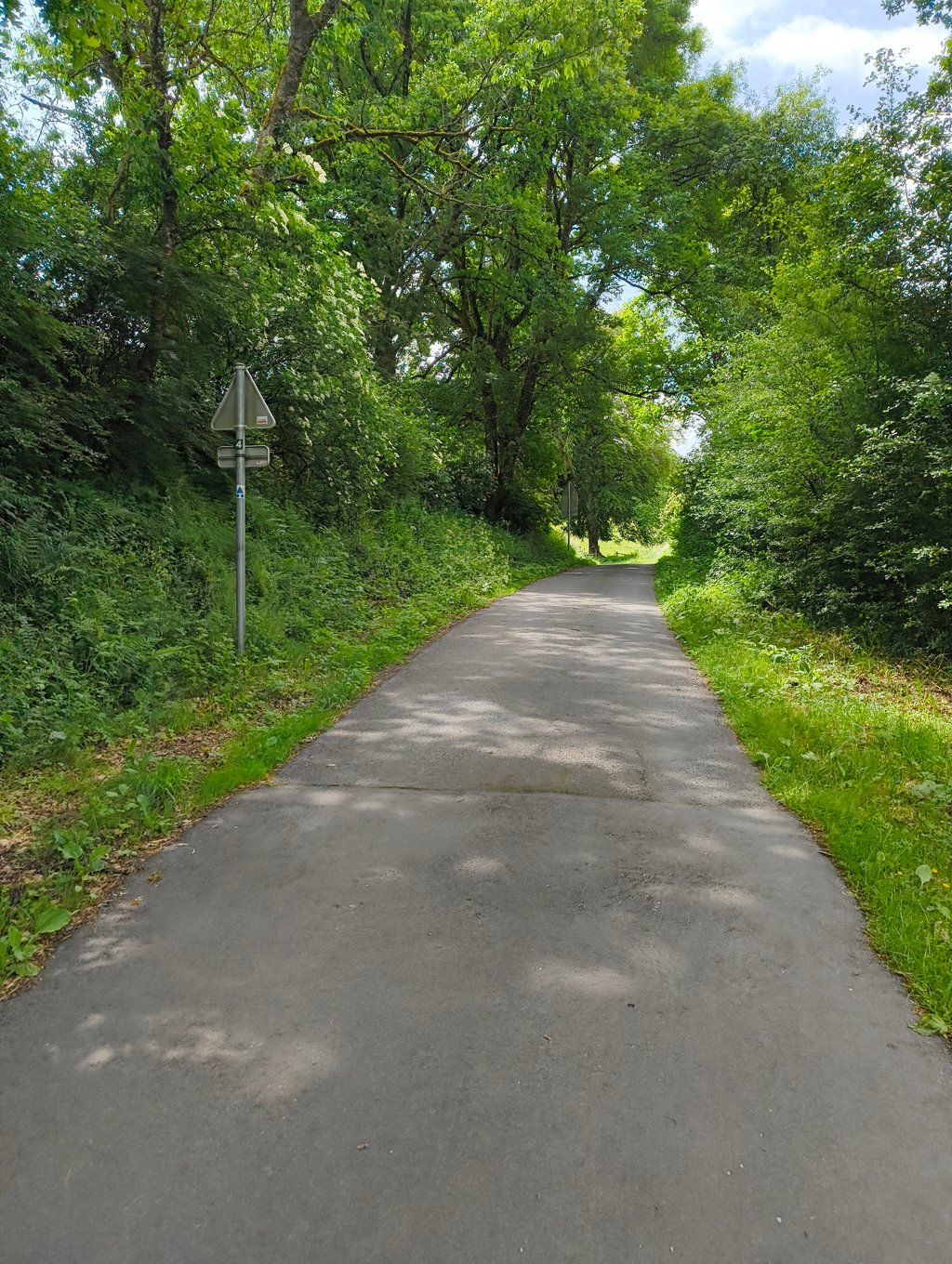
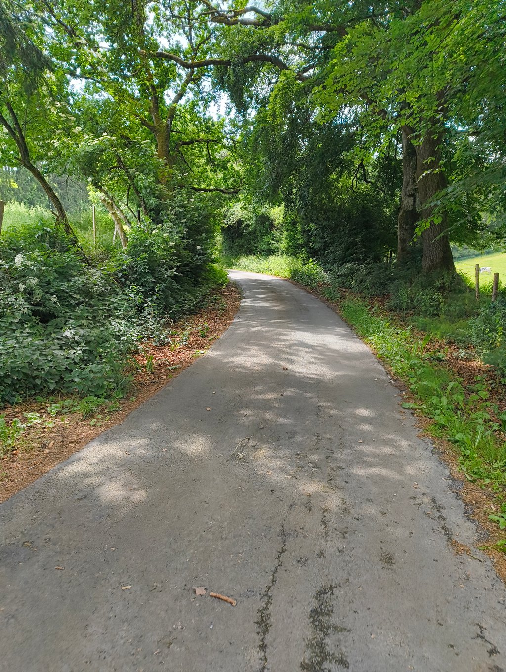
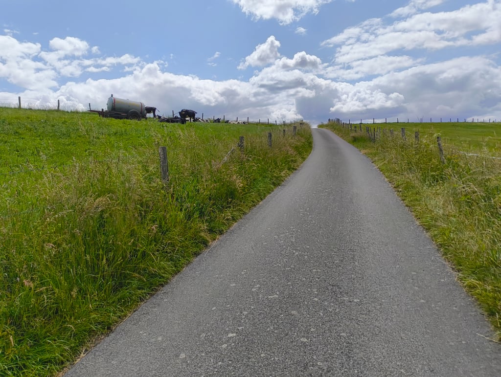
Steigung von Reuland is a climb in the region High Fens & East Cantons. It is 1.1 mi long and bridges 430 ft of vertical ascent with an average gradient of 7.3%, resulting in a difficulty score of 137. The top of the ascent is located at 1627 ft above sea level. Climbfinder users shared 1 review/story of this climb and uploaded 3 photos.

Road names: Reuland-Lascheid & Weweler - Lascheid

This is an automatic translation, the original language is: Dutch.
A nice climb in quiet, green surroundings with a solid start. Especially before the left turn you have to do the hardest work, after which the profile quickly flattens out and you can ride on almost leisurely. That transition makes the climb a bit two-part: spicy start, then mostly roll out. A pleasant climb with a tough start.... read more

Photos (3)

Steigung von Reuland
transparant thumb
transparant thumb
transparant thumb

Your uploads (max 4)

Welcome! Please activate your account if you would like to share something. Look for the verification email in your inbox.

If you want to upload your photos, you need to create an account. It only takes 1 minute and it's completely free.

  • Receive free climbfinder goodies for your reviews & photos.
  • Create a bucket list and check off conquered climbs.
  • Add missing climbs.
Continue with GoogleContinue with Google Continue with FacebookContinue with Facebook Continue with AppleContinue with Apple Sign up with email
By signing up you agree to our terms of service and confirm that you have read our privacy & content policy.

Reviews (1)

5.0
4.0
3.0
2.0
1.0
Piekpionier
3 w 4.0
This is an automatic translation, the original language is: Dutch. Show original

A nice climb in quiet, green surroundings with a solid start. Especially before the left turn you have to do the hardest work, after which the profile quickly flattens out and you can ride on almost leisurely. That transition makes the climb a bit two-part: spicy start, then mostly roll out. A pleasant climb with a tough start.

Een mooie klim in een rustige, groene omgeving met een stevig begin. Vooral voor de bocht naar links moet je het zwaarste werk leveren, waarna het profiel snel afvlakt en je bijna ontspannen verder kan rijden. Die overgang maakt de klim wat tweedelig: pittig starten, daarna vooral uitbollen. Een aangename klim met een lastige aanzet.

Dashboard

Climbing times

5 mph 00:13:22
7 mph 00:09:28
9 mph 00:07:22
12 mph 00:05:32

Road surface condition

0% 0% 0%
Based on 0 votes
Share your knowledge. What was the road condition during your ascent?

Traffic

0% 0% 0%
Based on 0 votes
Your experience counts. How much traffic did you encounter during the climb?

Frequently Asked Questions

Steigung von Reuland can be cycled from 4 sides. Ourberg from Weweler is the most popular side, but the summit can also be reached via Ourberg from Quart, Steigung von Reuland & Rotheckberg from Stoubach.

You don't need special gearing for Steigung von Reuland. The slope isn't long or steep enough to require much shifting down. You can conquer this climb on power alone. However, a compact gearing system with a smallest front chainring of 34 and largest rear sprocket of 28 or 30 is always nice if you enjoy cycling uphill. This helps maintain a smooth cadence.

Steigung von Reuland is a 4th-category climb. A sprint to the top is usually not an option, and untrained riders will definitely feel it in their legs. For trained cyclists, it is a great training climb.

Steigung von Reuland is 1.1 mi long.

The average gradient of Steigung von Reuland is 7.3%.

Steigung von Reuland has a steepest segment with an average gradient of 19.1%.

The summit of Steigung von Reuland is at 1627 ft.

At a slow pace of 5 mph, it takes about 00:13:22 to climb Steigung von Reuland. At 7 mph the time is 00:09:28, and at 9 mph 00:07:22. For the fastest cyclists, 00:05:32 is an achievable time.

Steigung von Reuland is located in the region High Fens & East Cantons in Belgium.

This page is better in the app

Climbfinder app
Climbfinder
(Free)
Open