View on map
© MapLibre | OpenStreetMap contributors
1%
2%
4%
6%
8%
10%
12%
15%
20%

Steigung von Möderscheid

3.5
2 reviews | Elevation profile | 1 photo
Tips nearby
Steigung von Möderscheid
transparant thumb
transparant thumb
transparant thumb
transparant thumb
transparant thumb
transparant thumb
transparant thumb
Your achievable time
Calculating based on your best performances...
Relaxed
Maximum
W/kg
W/kg
W/kg
Analyze your climbing performance
Detailed insight into your climbing performance & automatically check off climbs
Based on your best performances.
Your best attempt:
Number of attempts:
Elevation profile Steigung von Möderscheid

Statistics

Difficulty points 85
Length 2.4 mi
Average gradient 3.9%
Steepest segment 13.8%
Total ascent 482 ft
Feedback about this climb?
Show climbs nearby Export to GPS device

Steigung von Möderscheid is a climb in the region High Fens & East Cantons. It is 2.4 mi long and bridges 482 ft of vertical ascent with an average gradient of 3.9%, resulting in a difficulty score of 85. The top of the ascent is located at 2011 ft above sea level. Climbfinder users shared 2 reviews of this climb and uploaded 1 photo.

Road names: Bauelsbusch, In den Höfen, Möderscheid & Zur Morsheck
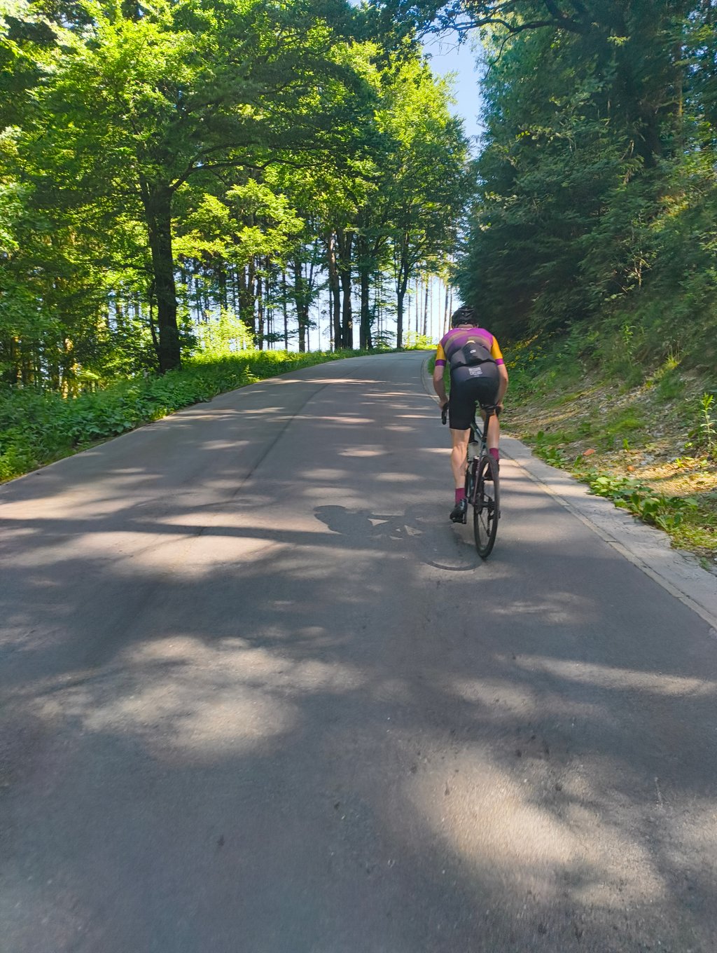
This is an automatic translation, the original language is: Dutch.
Tough first stretch, otherwise good climb and steady uphill.... read more

Photos (1)

Steigung von Möderscheid
transparant thumb
transparant thumb
transparant thumb
transparant thumb
transparant thumb

Your uploads (max 4)

Welcome! Please activate your account if you would like to share something. Look for the verification email in your inbox.

If you want to upload your photos, you need to create an account. It only takes 1 minute and it's completely free.

  • Receive free climbfinder goodies for your reviews & photos.
  • Create a bucket list and check off conquered climbs.
  • Add missing climbs.
Continue with GoogleContinue with Google Continue with FacebookContinue with Facebook Continue with AppleContinue with Apple Sign up with email
By signing up you agree to our terms of service and confirm that you have read our privacy & content policy.

Reviews (2)

5.0
4.0
3.0
2.0
1.0
WannesDurnez
9 Mo 4.0 via the Climbfinder app
This is an automatic translation, the original language is: Dutch. Show original

Tough first stretch, otherwise good climb and steady uphill.

Stevig eerste stuk, voor de rest goede klim en gestaag naar boven.

Dashboard
ripkeric
2 y 3.0
This is an automatic translation, the original language is: Dutch. Show original

The road to the climb is in fine surroundings. The road of this climb itself is nothing special. It starts on fine tarmac, but ends in a road of concrete slabs. On approach, you think you're serving a fine strip of tarmac next to it, but this one gives an undulating experience as if a wash had stopped every few metres. Still a nice view on the right, but on the left a hedge to hide a digester from view.
Was hesitant to give this climb a two, however it is again a good alternative to avoid a fairly busy road parallel. So "handy if you're in the area"

De weg naar de klim toe ligt in een prima omgeving. De weg van deze klim zelf is niet zo bijzonder. Het begint op prima asfalt, maar eindigt in een weg van betonplaten. Bij het aanrijden denk je een fijne strook asfalt ernaast te dien, maar deze geeft een golvende ervaring alsof er een wasje om de zoveel meter stilgestaan heeft. Toch op rechts een aardig zicht, maar op links een haag om een vergistingsinstallatie aan het zicht te onttrekken.
Twijfelde om deze klim een twee te geven, echter is het wel weer een goed alternatief om een vrij drukke weg paralel te ontwijken. Dus "handig als je in de buurt bent"

Dashboard

Climbing times

5 mph 00:28:25
7 mph 00:20:07
9 mph 00:15:40
12 mph 00:11:46

Road surface condition

0% 0% 0%
Based on 0 votes
Share your knowledge. What was the road condition during your ascent?

Traffic

0% 0% 0%
Based on 0 votes
Your experience counts. How much traffic did you encounter during the climb?

Frequently Asked Questions

You don't need special gearing for Steigung von Möderscheid. The slope isn't long or steep enough to require much shifting down. You can conquer this climb on power alone. However, a compact gearing system with a smallest front chainring of 34 and largest rear sprocket of 28 or 30 is always nice if you enjoy cycling uphill. This helps maintain a smooth cadence.

Steigung von Möderscheid is a 4th-category climb. A sprint to the top is usually not an option, and untrained riders will definitely feel it in their legs. For trained cyclists, it is a great training climb.

Steigung von Möderscheid is 2.4 mi long.

The average gradient of Steigung von Möderscheid is 3.9%.

Steigung von Möderscheid has a steepest segment with an average gradient of 13.8%.

The summit of Steigung von Möderscheid is at 2011 ft.

At a slow pace of 5 mph, it takes about 00:28:25 to climb Steigung von Möderscheid. At 7 mph the time is 00:20:07, and at 9 mph 00:15:40. For the fastest cyclists, 00:11:46 is an achievable time.

Steigung von Möderscheid is located in the region High Fens & East Cantons in Belgium.

This page is better in the app

Climbfinder app
Climbfinder
(Free)
Open