Steigung von Hepscheid is a climb in the region High Fens & East Cantons. It is 1 mi long and bridges 348 ft of vertical ascent with an average gradient of 6.7%, resulting in a difficulty score of 83. The top of the ascent is located at 2057 ft above sea level. Climbfinder users shared 1 review/story of this climb and uploaded 1 photo.
This is an automatic translation, the original language is: English.
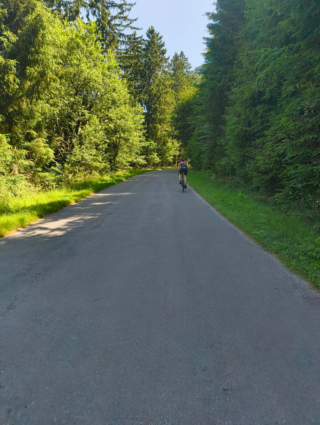
Mooie klim in de landelijke omgeving van Hepscheid, waar de weg gestaag hoogte wint richting het hoger gelegen plateau. Met zijn constante stijgingspercentages en open uitzichten past deze beklimming goed bij het karakter van de Oostkantons....read more
Photos (1)
Welcome! Please activate your account if you would like to share something. Look for the verification email in your inbox.
Mooie klim in de landelijke omgeving van Hepscheid, waar de weg gestaag hoogte wint richting het hoger gelegen plateau. Met zijn constante stijgingspercentages en open uitzichten past deze beklimming goed bij het karakter van de Oostkantons.
Share your knowledge. What was the road condition during your ascent?
Traffic
0% 0% 0%
Based on 0 votes
Your experience counts. How much traffic did you encounter during the climb?
Frequently Asked Questions
You don't need special gearing for Steigung von Hepscheid. The slope isn't long or steep enough to require much shifting down. You can conquer this climb on power alone. However, a compact gearing system with a smallest front chainring of 34 and largest rear sprocket of 28 or 30 is always nice if you enjoy cycling uphill. This helps maintain a smooth cadence.
Steigung von Hepscheid is a 4th-category climb. A sprint to the top is usually not an option, and untrained riders will definitely feel it in their legs. For trained cyclists, it is a great training climb.
Steigung von Hepscheid is 1 mi long.
The average gradient of Steigung von Hepscheid is 6.7%.
Steigung von Hepscheid has a steepest segment with an average gradient of 11.7%.
The summit of Steigung von Hepscheid is at 2057 ft.
At a slow pace of 5 mph, it takes about 00:11:55 to climb Steigung von Hepscheid. At 7 mph the time is 00:08:26, and at 9 mph 00:06:35. For the fastest cyclists, 00:04:56 is an achievable time.