Tips nearby


| Beautiful scenery |
| 6 hairpin turns |
| #55 toughest climb of Grand Est |
| #63 most elevation gain of Grand Est |
| #56 longest climb of Upper Rhine |
| #63 average steepest climb of Upper Rhine |
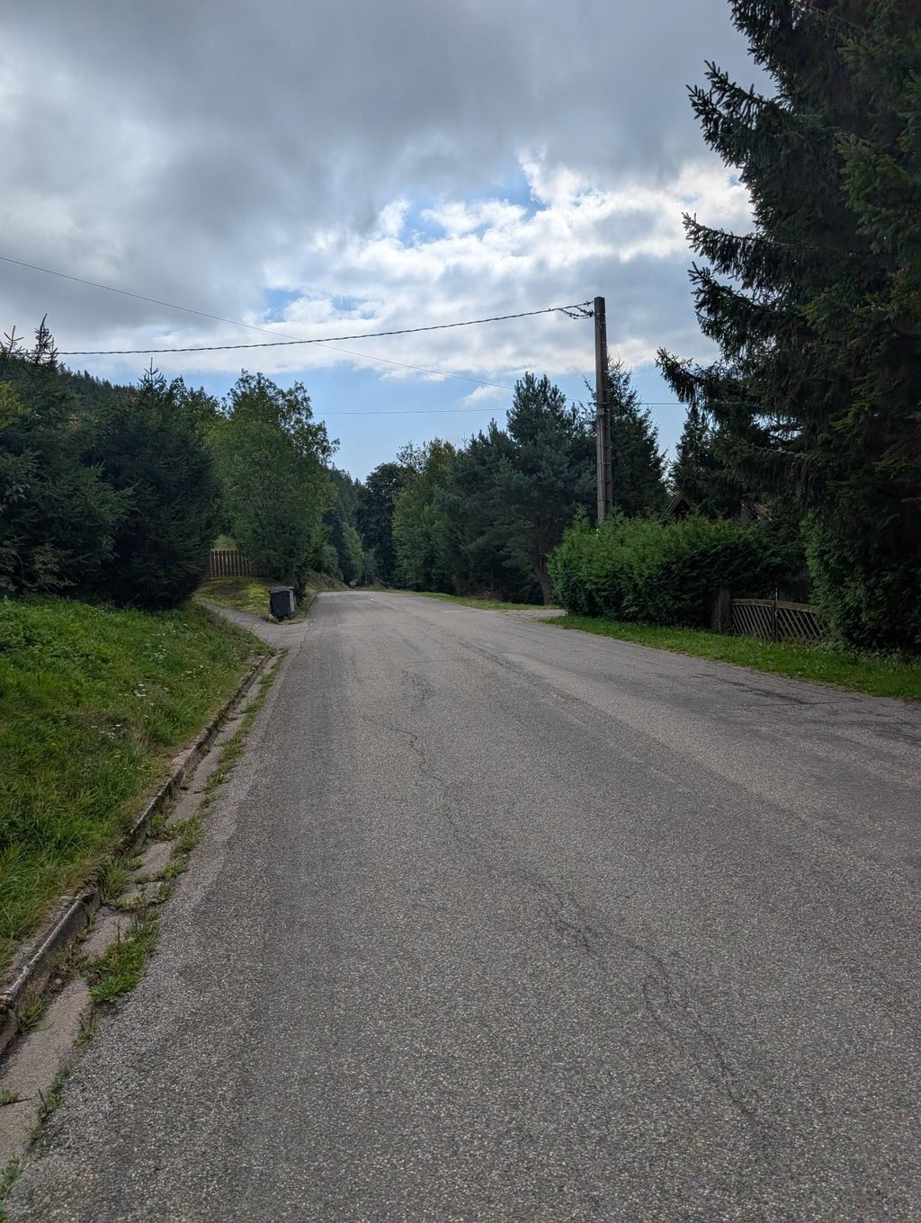
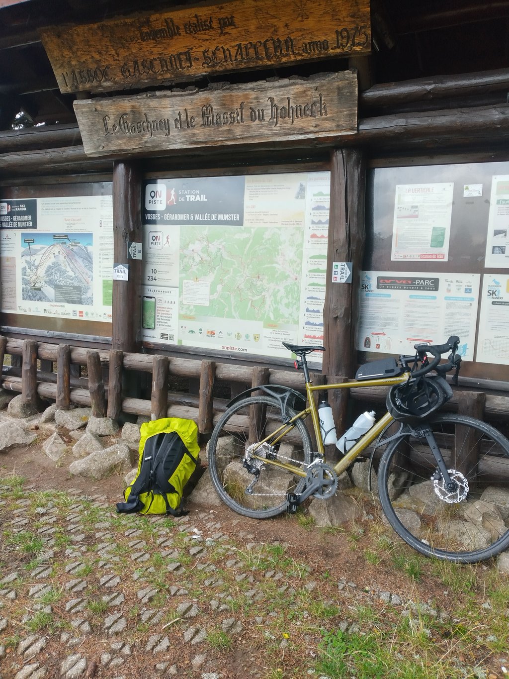
Le Gaschney from Mulhbach is a climb in the region Upper Rhine. It is 4.7 mi long and bridges 1719 ft of vertical ascent with an average gradient of 6.9%, resulting in a difficulty score of 391. The top of the ascent is located at 3284 ft above sea level. Climbfinder users shared 6 reviews of this climb and uploaded 10 photos.
Road name: Route du Gaschney
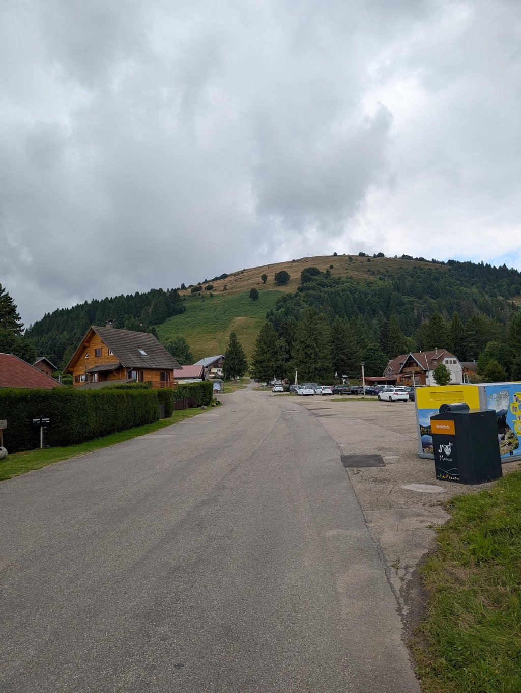
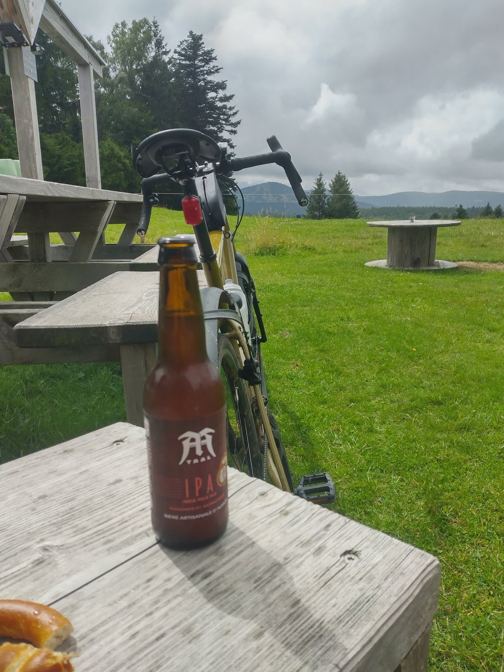
3.0 by PierreGdrThis is an automatic translation, the original language is: French.The climb was completed after 100km of cycling, with some difficult sections but a fairly regular climb. There were quite a few cars on the climb because of the school holidays, but it was quieter outside. The reward after the effort: You can recover at the refreshment bar located directly on the car park at the finish, with local beers and pretzels to reward you and a beautiful view of the Schnepfenried.... read more

Welcome! Please activate your account if you would like to share something. Look for the verification email in your inbox.
If you want to upload your photos, you need to create an account. It only takes 1 minute and it's completely free.
The climb was completed after 100km of cycling, with some difficult sections but a fairly regular climb.
There were quite a few cars on the climb because of the school holidays, but it was quieter outside.
The reward after the effort:
You can recover at the refreshment bar located directly on the car park at the finish, with local beers and pretzels to reward you and a beautiful view of the Schnepfenried.
Montée effectuée après déjà 100km de vélo dans les pattes,des passages difficiles mais montée plutôt régulière.
Pas mal de voitures lors de l'ascension en raison des vacances scolaires,c est plus calme en dehors.
La récompense après l effort :
Vous pouvez récupérer à la buvette situé directement sur le parking à l arrivée,bières locales et bretzel sont là pour vous récompenser avec une belle vue sur le schnepfenried.
Nice climb to go full speed. Constantly between 6 and 8 percent with a stretch that goes up to 10. The road surface is fine, there is not a lot of traffic and at the top you can just chill out. At the top there is a water tap, some catering facilities and a kilometre below the summit you have a nice view. The descent is nice and fast!
Lekkere beklimming om volle bak te gaan. Constant wel tussen de 6 en 8 procent met een stukje dat uitschiet naar de 10. Het wegdek is prima, er is niet super veel verkeer en boven kun je lekker even chillen. Bovenop is een watertappunt, wat horeca en een kilometer onder de top heb je een mooi uitzicht. De afdaling is lekker snel!
Ascension carried out at the beginning of May. Road in very good condition. Early in the morning, we hardly passed a dozen cars. Very nice view.
Ascension réalisée début mai. Route en très bon état. Tôt le matin, on a croisé à peine une dizaine de voitures. Très belle vue.
A lovely, not too long climb of 7 km with beautiful views and good road surface. Because it is a dead end to a kind of ski village it is also quiet with cars. Starts off easy but after 2.5 km some more serious parts of 10%. From that point on, fairly constant
Een heerlijke, niet al te lange klim van 7 km met mooie uitzichten en goed wegdek. Doordat het doodlopend is naar een soort skidorp ook rustig met auto’s. Begint makkelijk maar na 2,5 km toch wel wat serieuzere stukjes van 10%. Vanaf dat punt vrij constant
Nice steady climb with some harder (10-11%) and easier (3-4%) sections, fairly uncrowded. Fairly good road with some gravel. Very nice view of the Munster valley and the small Hohneck.
Chouette montée régulière avec quelques passages plus durs (10-11%) et plus faciles (3-4%), assez peu fréquentée. Route assez bonne avec quelques gravillons. Très belle vue sur la vallée de Munster et sur le petit Hohneck.
Nice steady climb. Not too difficult in itself for a trained cyclotourist, but after having climbed the col du petit ballon first, the effort is still intense, especially in very hot weather like the day of the climb. There aren't many shadows. Very nice route overall.
Belle montée régulière. Pas trop difficile en soi pour un cyclotouriste affûté, mais après avoir gravi en premier lieu le col du petit ballon, l'effort est malgré tout intense surtout par un temps très chaud comme le jour de la montée. Il y a pas tellement de zones d'ombres. Très belle route dans l'ensemble.
| 5 mph | 00:57:02 |
| 7 mph | 00:40:23 |
| 9 mph | 00:31:28 |
| 12 mph | 00:23:38 |
This page is better in the app