Tips nearby


| Beautiful scenery |
| 5 hairpin turns |
| #65 toughest climb of Annecy |
| #75 most elevation gain of Haute Savoie |
| #33 longest climb of Haute Savoie |
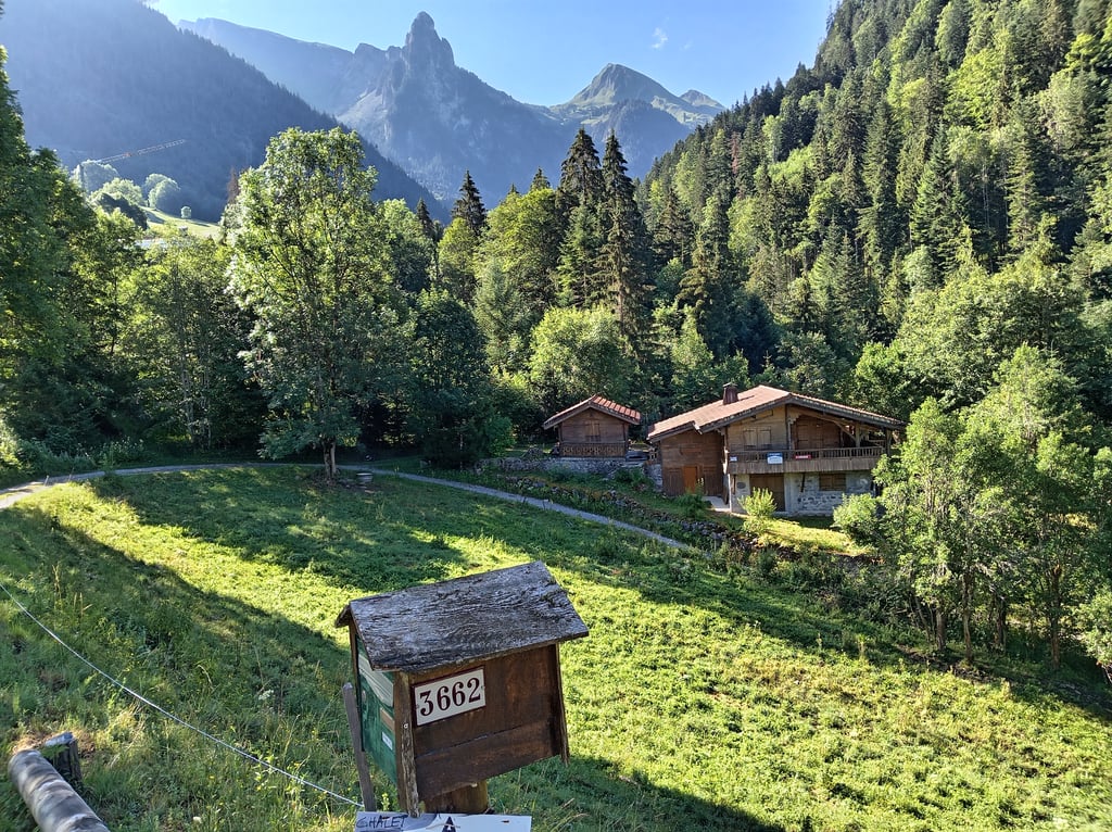
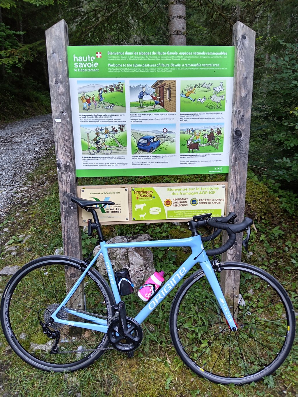
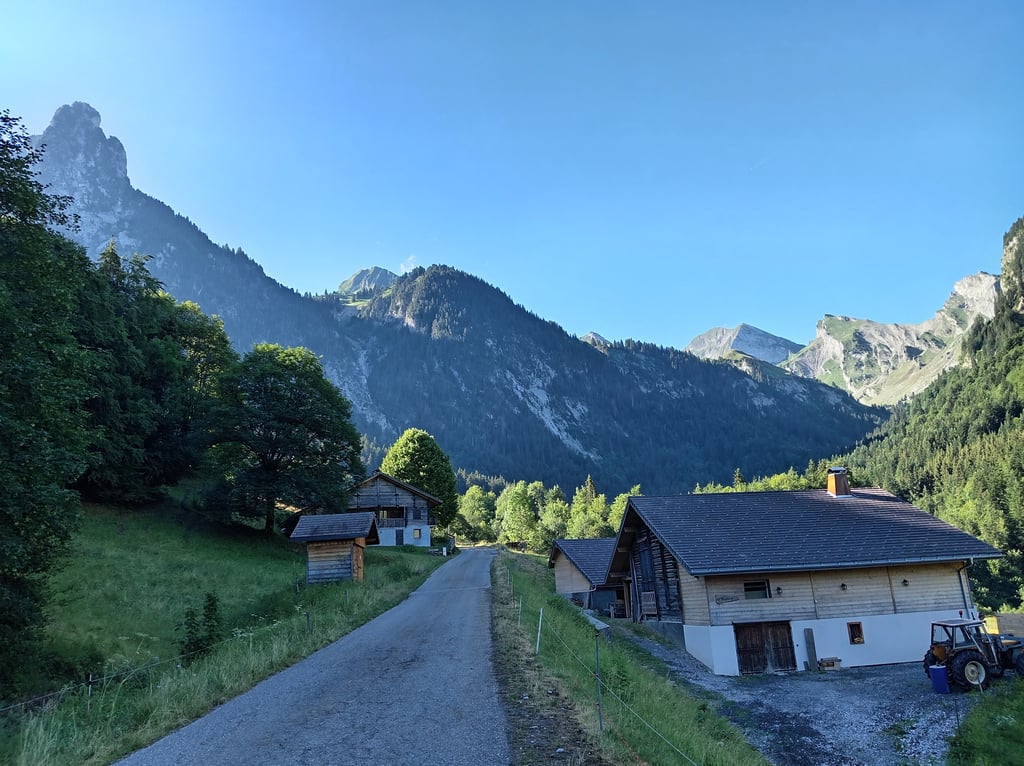
Sous l'Aiguille from Thones is a climb in the region Annecy. It is 7.6 mi long and bridges 1955 ft of vertical ascent with an average gradient of 4.9%, resulting in a difficulty score of 442. The top of the ascent is located at 3871 ft above sea level. Climbfinder users shared 2 reviews of this climb and uploaded 5 photos.
Road names: Route de l'Aiguille & Chemin Rural de l'Aulph de Fier à Gutary
4.0 by sergenavetatThis is an automatic translation, the original language is: French.Thank you, Climbfinder, for this hidden gem in the Aravis Massif! The name “Sous L’Aiguille” is likely due to the fact that the final section is located below theAiguille de Manigod, which rises to an altitude of 2,024 meters. From Thônes, this climb is quite varied: the first section follows the fairly steep Route du Col de la Croix-Fry (8–9%) Then, just before Manigod, take the Route de la Grange toward Les Choseaux; this road passes below Manigod with a view of the bell tower just ab... read more
Welcome! Please activate your account if you would like to share something. Look for the verification email in your inbox.
If you want to upload your photos, you need to create an account. It only takes 1 minute and it's completely free.
Thank you, Climbfinder, for this hidden gem in the Aravis Massif!
The name “Sous L’Aiguille” is likely due to the fact that the final section is located below theAiguille de Manigod, which rises to an altitude of 2,024 meters.
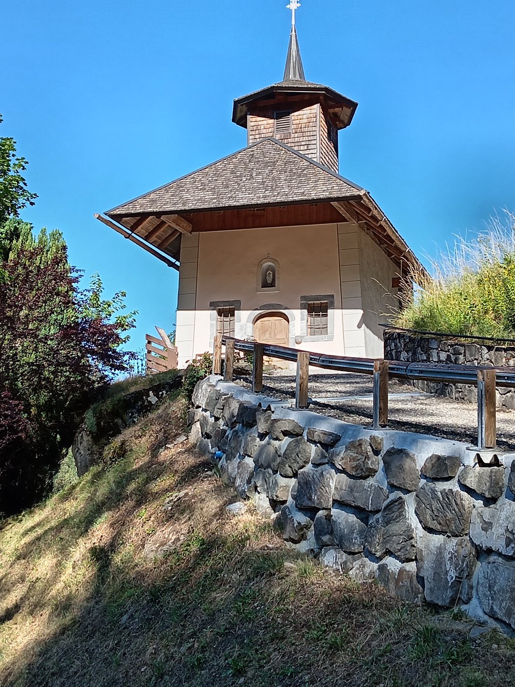
From Thônes, this climb is quite varied: the first section follows the fairly steep Route du Col de la Croix-Fry (8–9%) Then, just before Manigod, take the Route de la Grange toward Les Choseaux; this road passes below Manigod with a view of the bell tower just above.
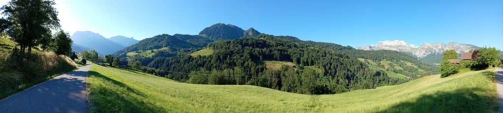
The road lies in a hollow of the Aravis Massif, surrounded by high peaks: La Roche Sulens (1,735 m), La Riondaz (1,747 m), Aiguille de Manigod (2,024 m), L’ÉTALE (2,484 m)... and one or two others.
The last 2.5 kilometers are the most challenging, with gradients between 10–12%; the finish is at a large parking lot where hikers set out on foot—by 9 a.m., it was full.
Traffic is light, though that likely depends on the time of day, as evidenced by the number of vehicles in the final parking lot—none of which passed me.
The pavement is in good condition for a standard road bike.
The route alternates between sunny and shaded sections, but even in the morning sun, temperatures are comfortable in this part of the mountain range—no risk of the engine overheating.
P.S.: A climb worth discovering and savoring.
Merci Climbfinder pour ce joyau méconnu dans le Massif des Aravis!
Le Nom de Sous L'aiguille est surement dû parce-que le final se situe sous L'Aiguille de Manigod qui culmine à 2024M d'Altitude.
Depuis Thônes cette ascension est assez irrégulière avec la première partie qui emprunte la Rte du Col de la Croix-Fry assez pentue 8-9% ensuite un peu avant Manigod il faut prendre la Rte de la Grange direction les Choseaux , celle-ci passe en dessous de Manigod avec une vue sur le Clocher juste au dessus.
La route se trouve dans un creux du Massif des Aravis avec les Hauts sommets autour , La Roche Sulens 1735M, La Riondaz 1747M, Aiguille de Manigod 2024M, L'ÉTALE 2484m... et encore 1 ou 2 autres.
Les 2,5 derniers kilomètres sont les plus difficiles avec des pentes entre 10-12%, l'arrivée est sur un grand parking d'où partent les randonneurs à pieds, à 9H il était complet.
La circulation est calme mais ça dépend surement des horaires, en atteste le nombre de véhicules sur le parking final et qui ne m'ont pas doublés.
Le bitume est en bon état pour un vélo de route ordinaire.
Alternance de parties ensoleillées et ombragées mais même au soleil le matin les températures sont correctes dans cette partie du massif, pas de risque de surchauffe moteur.
Ps : Une ascension à découvrir et à déguster.
The climb is long and very uneven. The first three kilometres are easy, but be careful not to get caught out by a very steep first section. There is then another flat area and a second steep section.
La montée est longue et très irrégulière. Les trois premiers kilomètres sont facile mais attention à ne pas se faire surprendre par une première partie très raide. Il y a ensuite un nouveau replat puis une seconde partie raide.
| 5 mph | 01:31:10 |
| 7 mph | 01:04:32 |
| 9 mph | 00:50:18 |
| 12 mph | 00:37:47 |
This page is better in the app