View on map
© MapLibre | OpenStreetMap contributors
1%
2%
4%
6%
8%
10%
12%
15%
20%

Schlumpf from Dolleren

2.0
1 review/story | Elevation profile | 4 photos
Tips nearby
Schlumpf from Dolleren
transparant thumb
transparant thumb
transparant thumb
transparant thumb
Your achievable time
Calculating based on your best performances...
Relaxed
Maximum
W/kg
W/kg
W/kg
Analyze your climbing performance
Detailed insight into your climbing performance & automatically check off climbs
Based on your best performances.
Your best attempt:
Number of attempts:
Elevation profile Schlumpf from Dolleren

Statistics

Difficulty points 154
Length 2 mi
Average gradient 6.4%
Steepest segment 10.7%
Total ascent 673 ft
Feedback about this climb?
Show climbs nearby Export to GPS device

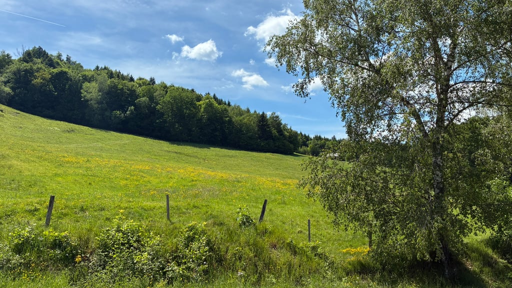
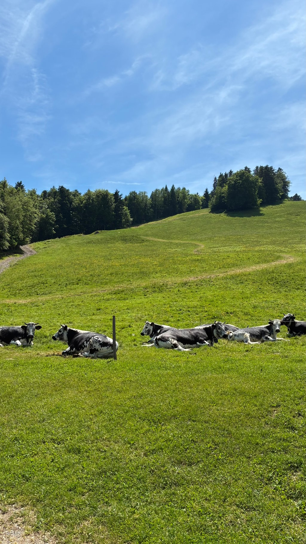
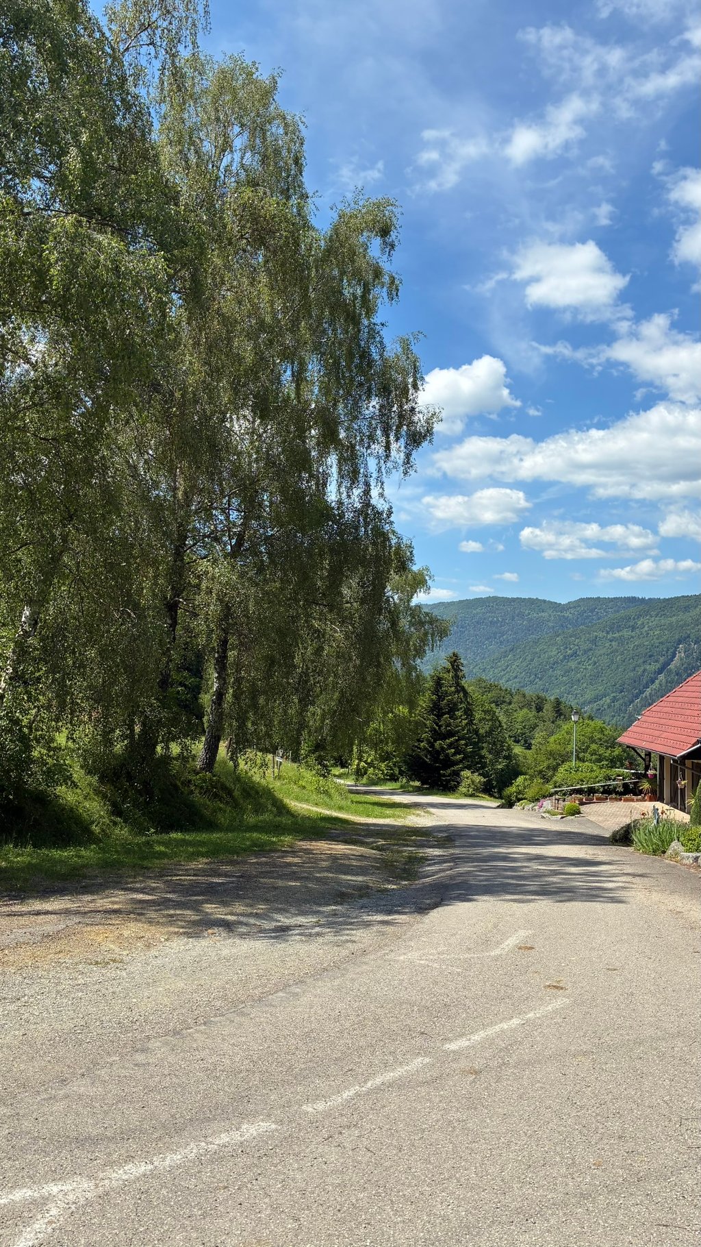
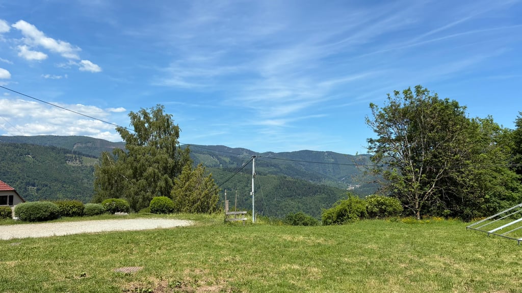
Schlumpf from Dolleren is a climb in the region Upper Rhine. It is 2 mi long and bridges 673 ft of vertical ascent with an average gradient of 6.4%, resulting in a difficulty score of 154. The top of the ascent is located at 2205 ft above sea level. Climbfinder users shared 1 review/story of this climb and uploaded 4 photos.

Road names: Rue du Gazon & Route du Schlumpf

2.0 by KAZAKK
This is an automatic translation, the original language is: Dutch.
Quiet climb with very moderate asphalt and little traffic, you can do it as an amuse-bouche or if you are in the neighborhood. As mentioned, the road surface is not very good with some loose gravel here and there, going up is still possible, but descending requires some caution. The name of the climb is funny though, it puts a little smile on your face and reminds you of "Les Schtroumpfs", although there is not much of blue males to be seen, just some cows lazily and chewing at your hu... read more

Photos (4)

Schlumpf from Dolleren
transparant thumb
transparant thumb

Your uploads (max 4)

Welcome! Please activate your account if you would like to share something. Look for the verification email in your inbox.

If you want to upload your photos, you need to create an account. It only takes 1 minute and it's completely free.

  • Receive free climbfinder goodies for your reviews & photos.
  • Create a bucket list and check off conquered climbs.
  • Add missing climbs.
Continue with GoogleContinue with Google Continue with FacebookContinue with Facebook Continue with AppleContinue with Apple Sign up with email
By signing up you agree to our terms of service and confirm that you have read our privacy & content policy.

Reviews (1)

5.0
4.0
3.0
2.0
1.0
KAZAKK
2 w 2.0 00:11:38 (10.2 mph)
This is an automatic translation, the original language is: Dutch. Show original

Quiet climb with very moderate asphalt and little traffic, you can do it as an amuse-bouche or if you are in the neighborhood. As mentioned, the road surface is not very good with some loose gravel here and there, going up is still possible, but descending requires some caution. The name of the climb is funny though, it puts a little smile on your face and reminds you of "Les Schtroumpfs", although there is not much of blue males to be seen, just some cows lazily and chewing at your huffing...

Rustige klim met heel matig asfalt en weinig verkeer, je kan hem als amuse-bouche doen of als je in de buurt bent. Zoals gezegd is het wegdek niet denderend goed met hier en daar wat losse kiezelsteentjes, naar boven gaat het nog, maar afdalen vraagt enige voorzichtigheid. De naam van de klim is wel grappig, het tovert een kleine glimlach op je gezicht en doet denken aan "Les Schtroumpfs", al is er van blauwe mannetjes niet veel te zien, alleen wat koeien die lui en kauwend naar je gepuf kijken...

Dashboard

Climbing times

5 mph 00:23:52
7 mph 00:16:54
9 mph 00:13:10
12 mph 00:09:53

Road surface condition

0% 100% 0%
Based on 1 vote
Share your knowledge. What was the road condition during your ascent?

Traffic

100% 0% 0%
Based on 1 vote
Your experience counts. How much traffic did you encounter during the climb?

Frequently Asked Questions

Schlumpf from Dolleren is a challenging ascent. For this type of climbing, we recommend mountain gearing, specifically a compact system. This means a small front chainring of 34 teeth, combined with a rear cassette where, depending on your level, strength, and experience, you choose a sprocket with 30, 32, or even 34 teeth. Remember that a smooth cadence is always more efficient!

Schlumpf from Dolleren is a 3rd-category climb. Almost anyone can handle this climb, as long as you have a bike with climbing gears. If you have little training, you will probably need to shift down significantly. For experienced riders, Schlumpf from Dolleren is not a problem.

Schlumpf from Dolleren is 2 mi long.

The average gradient of Schlumpf from Dolleren is 6.4%.

Schlumpf from Dolleren has a steepest segment with an average gradient of 10.7%.

The summit of Schlumpf from Dolleren is at 2205 ft.

At a slow pace of 5 mph, it takes about 00:23:52 to climb Schlumpf from Dolleren. At 7 mph the time is 00:16:54, and at 9 mph 00:13:10. For the fastest cyclists, 00:09:53 is an achievable time.

Schlumpf from Dolleren is located in the region Upper Rhine in France.

This page is better in the app

Climbfinder app
Climbfinder
(Free)
Open