View on map
© MapLibre | OpenStreetMap contributors
1%
2%
4%
6%
8%
10%
12%
15%
20%

Savoš from Huty

3.5
2 reviews | Elevation profile | 1 photo
Savoš from Huty
transparant thumb
transparant thumb
transparant thumb
transparant thumb
transparant thumb
transparant thumb
transparant thumb
Your achievable time
Calculating based on your best performances...
Relaxed
Maximum
W/kg
W/kg
W/kg
Analyze your climbing performance
Detailed insight into your climbing performance & automatically check off climbs
Based on your best performances.
Your best attempt:
Number of attempts:
Elevation profile Savoš from Huty

Statistics

Difficulty points 116
Length 1.5 mi
Average gradient 6.3%
Steepest segment 10.9%
Total ascent 512 ft
Feedback about this climb?
Show climbs nearby Export to GPS device

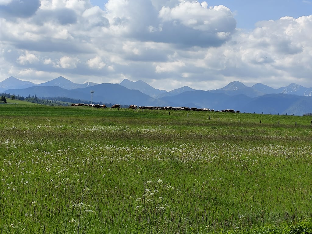
Savoš from Huty is a climb in the region Tatra-Fatra Belt. It is 1.5 mi long and bridges 512 ft of vertical ascent with an average gradient of 6.3%, resulting in a difficulty score of 116. The top of the ascent is located at 3606 ft above sea level. Climbfinder users shared 2 reviews of this climb and uploaded 1 photo.

Road name: 584

4.0 by Kajfasz666
This is an automatic translation, the original language is: Polish.
Another climb on the route from Chocholow. Not much traffic.... read more

Photos (1)

Savoš from Huty
transparant thumb
transparant thumb
transparant thumb
transparant thumb
transparant thumb

Your uploads (max 4)

Welcome! Please activate your account if you would like to share something. Look for the verification email in your inbox.

If you want to upload your photos, you need to create an account. It only takes 1 minute and it's completely free.

  • Receive free climbfinder goodies for your reviews & photos.
  • Create a bucket list and check off conquered climbs.
  • Add missing climbs.
Continue with GoogleContinue with Google Continue with FacebookContinue with Facebook Continue with AppleContinue with Apple Sign up with email
By signing up you agree to our terms of service and confirm that you have read our privacy & content policy.

Reviews (2)

5.0
4.0
3.0
2.0
1.0
Kajfasz666
1 y 4.0
This is an automatic translation, the original language is: Polish. Show original

Another climb on the route from Chocholow. Not much traffic.

Kolejny podjazd na trasie od Chochołowa. Ruch niewielki.

Savoš from Huty
Dashboard
krawiec
1 y 3.0

The climb is a part of the loop around Tatra mountains and has a really nice view of the area surrounding Liptowsky Mikulasz. The traffic is ok

Dashboard

Climbing times

5 mph 00:18:28
7 mph 00:13:04
9 mph 00:10:11
12 mph 00:07:39

Road surface condition

0% 0% 0%
Based on 0 votes
Share your knowledge. What was the road condition during your ascent?

Traffic

0% 0% 0%
Based on 0 votes
Your experience counts. How much traffic did you encounter during the climb?

Frequently Asked Questions

Savoš can be cycled from 2 sides. Savoš from Huty is the most popular side, but the summit can also be reached via Savoš from Liptovská Mara.

You don't need special gearing for Savoš from Huty. The slope isn't long or steep enough to require much shifting down. You can conquer this climb on power alone. However, a compact gearing system with a smallest front chainring of 34 and largest rear sprocket of 28 or 30 is always nice if you enjoy cycling uphill. This helps maintain a smooth cadence.

Savoš from Huty is a 4th-category climb. A sprint to the top is usually not an option, and untrained riders will definitely feel it in their legs. For trained cyclists, it is a great training climb.

Savoš from Huty is 1.5 mi long.

The average gradient of Savoš from Huty is 6.3%.

Savoš from Huty has a steepest segment with an average gradient of 10.9%.

The summit of Savoš from Huty is at 3606 ft.

At a slow pace of 5 mph, it takes about 00:18:28 to climb Savoš from Huty. At 7 mph the time is 00:13:04, and at 9 mph 00:10:11. For the fastest cyclists, 00:07:39 is an achievable time.

Savoš from Huty is located in the region in Slovakia.

This page is better in the app

Climbfinder app
Climbfinder
(Free)
Open