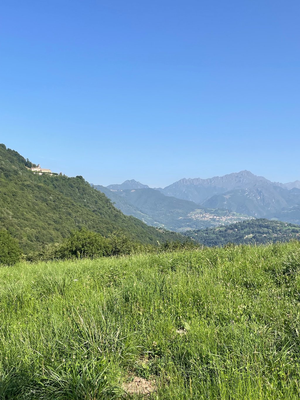
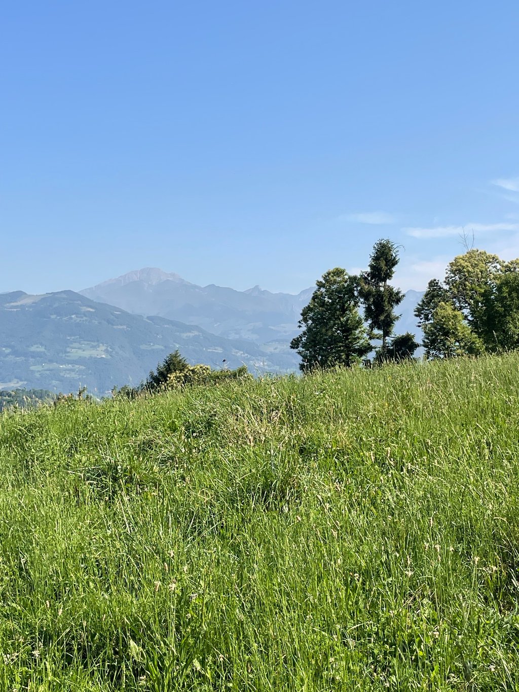
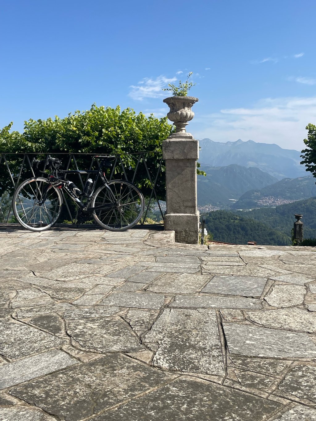
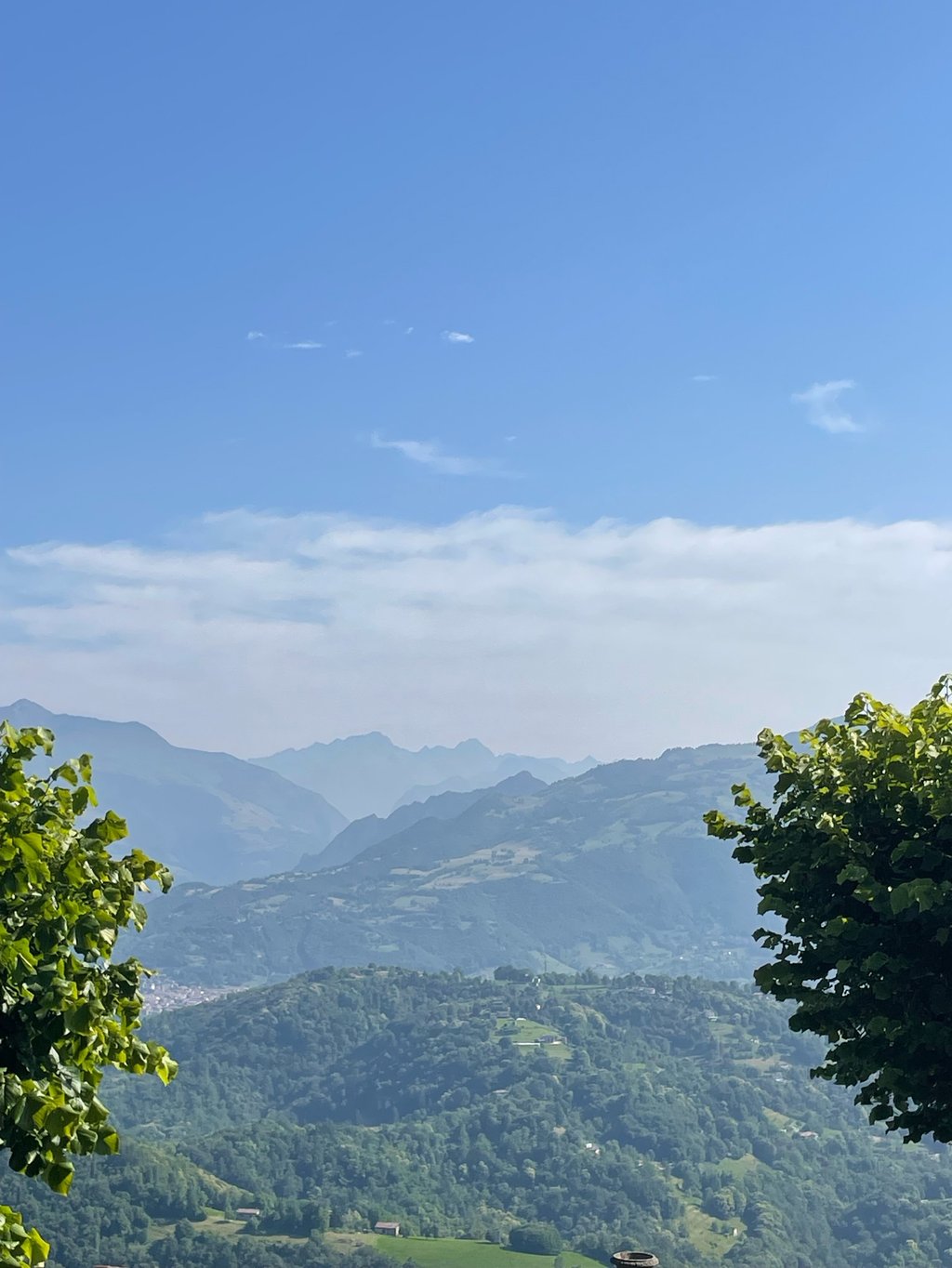
Santuario di Altino from Gaverina Terme is a climb in the region Bergamo. It is 0.6 mi long and bridges 266 ft of vertical ascent with an average gradient of 8.6%, resulting in a difficulty score of 73. The top of the ascent is located at 2674 ft above sea level. Climbfinder users shared 1 review/story of this climb and uploaded 4 photos.
Road name: Via Santuario di Altino
3.0 by EmaAmoThis is an automatic translation, the original language is: Italian.This is a nice loop trail connecting the Colle Gallo climb and Altino. The loop can be hiked in either direction. On very hot summer days, it remains in the shade for most of the morning.... read more
Welcome! Please activate your account if you would like to share something. Look for the verification email in your inbox.
If you want to upload your photos, you need to create an account. It only takes 1 minute and it's completely free.
This is a nice loop trail connecting the Colle Gallo climb and Altino. The loop can be hiked in either direction. On very hot summer days, it remains in the shade for most of the morning.
Utile per un piacevole anello di collegamento tra la salita del Colle Gallo ed Altino. Anello che si può percorrere da entrambi i lati. In estati molto calde rimane in ombra per buona parte della mattina.
| 5 mph | 00:07:03 |
| 7 mph | 00:04:59 |
| 9 mph | 00:03:53 |
| 12 mph | 00:02:55 |
This page is better in the app