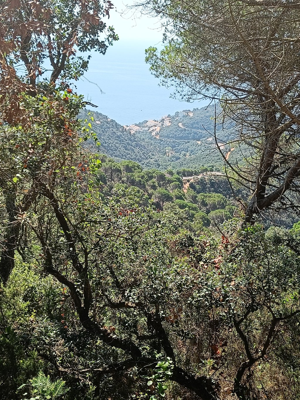
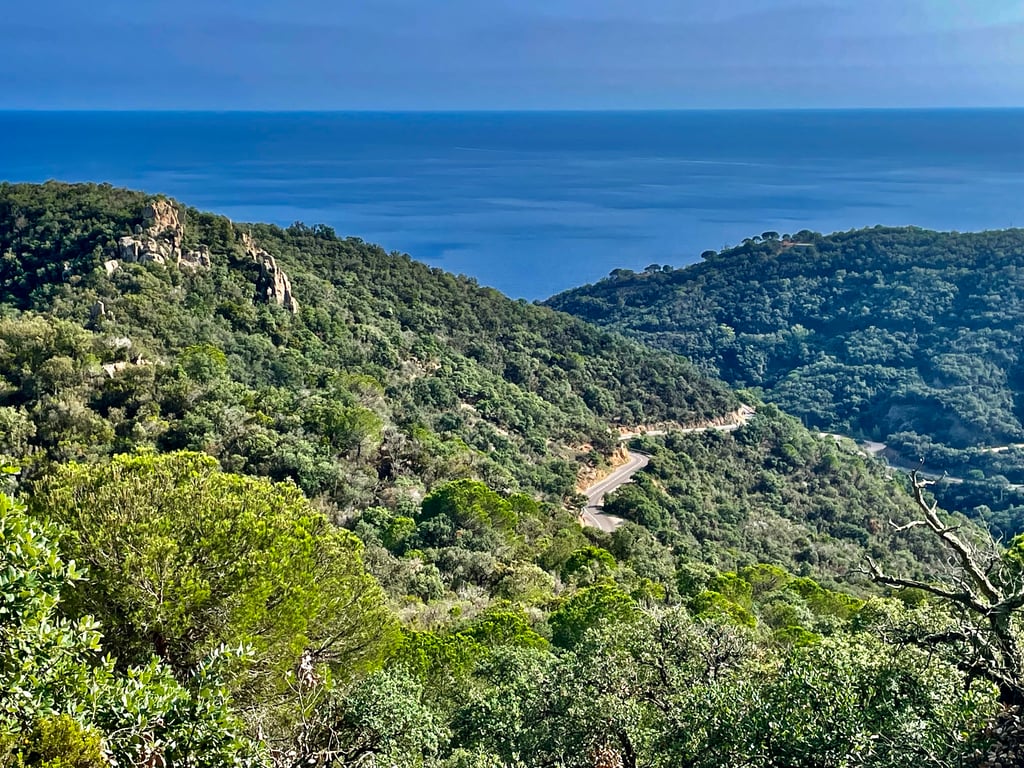
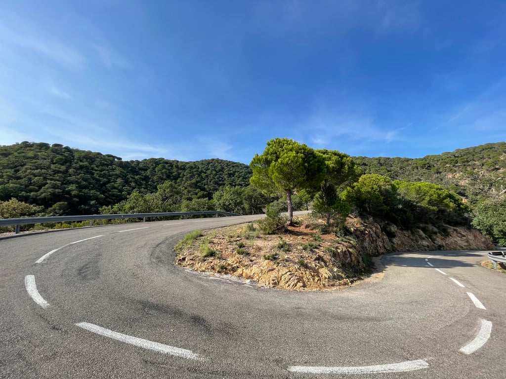
| Beautiful scenery |
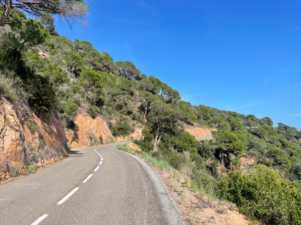
| 4 hairpin turns |
| #28 toughest climb of Costa Brava |
| #22 most elevation gain of Costa Brava |
| #27 longest climb of Costa Brava |
| #51 average steepest climb of Costa Brava |
Sant Grau from Salionç is a climb in the region Costa Brava. It is 3.9 mi long and bridges 1158 ft of vertical ascent with an average gradient of 5.7%, resulting in a difficulty score of 235. The top of the ascent is located at 1549 ft above sea level. Climbfinder users shared 7 reviews of this climb and uploaded 7 photos.
Road name: GIP-6821
4.0 by Niels4444This is an automatic translation, the original language is: Dutch.Highly recommended! Beautiful climb starting from the coastal road and then turning 90 degrees to the right inland. Beautiful views to the sea. Gradual climb with venom in the tail (stretch of 14%). Unfortunately no wide view at the top and immediately descend.... read more
Welcome! Please activate your account if you would like to share something. Look for the verification email in your inbox.
If you want to upload your photos, you need to create an account. It only takes 1 minute and it's completely free.
Cool climb, as the crow flies you don't make much headway and not really a view of the coast either. Super quiet and indeed a nice utsmijter at the end.
I suspect this side does not descend very nicely, lots of moderate asphalt.
Toffe klim, hemelsbreed schiet je niet veel op en ook niet echt zicht op de kust. Superrustig en inderdaad een fijn utsmijtertje op het einde.
Ik vermoed dat deze kant niet heel lekker daalt, veel matig asfalt.
Wonderful climb with sea views and ideal for crossing from the wonderful coast between Sant Feliu de Guixols and Tossa de Mar towards Girona
Prachtige beklimming met zeezicht en ideaal om vanaf de wondermooie kust tussen Sant Feliu de Guixols en Tossa de Mar door te steken richting Girona
Nice climb from the cornice back to Girona. Be careful crossing 13% towards the end. Otherwise nothing too complicated. The descent on the Girona side is of poor quality for Spanish roads.
Belle montée depuis la corniche pour revenir vers Girona. Attention passage à 13% vers la fin. Sinon rien de bien compliqué. Descente côté Girona de mauvaise qualité pour des routes espagnoles
Lovely climb really recommended if you are in this area.
Very irregular with the toughest bit above 10% at the end.
First do the Coastal Route from Sant Feliu de Guixols to Tossa and then take this one.
You'll reach 1500 altimeters in no time.
Heerlijke klim echt een aanrader om te doen als je in deze omgeving bent.
Heel onregelmatig met aan het eind het zwaarste stuk boven de 10%.
Eerst de Kustroute doen van Sant Feliu de Guixols naar Tossa en dan deze even meepakken.
Kom je zo aan de 1500 hoogtemeters.
Beautiful climb with beautiful views of the coast and sea, especially at the beginning. Then it turns inland with therefore no less beautiful landscapes.
As mentioned here, a nice gradual climb with the devil in the tail at 14%, so dosage is the message.
The descent is certainly not too technical with nice wide and (with a few exceptions) safe corners.
Highly recommended.
Mooie klim met vooral in het begin prachtig zicht op de kust en zee. Daarna draait het richting binnenland met daarom niet minder mooie landschappen.
Zoals hier reeds vermeld een mooie geleidelijke klim met het venijn in de staart aan 14%, doseren is dus de boodschap.
Afdaling is zeker niet te technisch met mooie brede en ( behalve een paar uitzondering ) veilig te nemen bochten.
Een aanrader!
Highly recommended! Beautiful climb starting from the coastal road and then turning 90 degrees to the right inland. Beautiful views to the sea. Gradual climb with venom in the tail (stretch of 14%). Unfortunately no wide view at the top and immediately descend.
Aanrader! Mooie klim startend vanop de kustbaan en dan 90 graden naar rechts het binnenland in draaiend. Mooie zichten naar de zee. Geleidelijke klim met venijn in de staart (stuk van 14%). Helaas geen wijds vergezicht op de top en meteen afdalen.
Very nice climb, perfect for an ftp test. At least, I had a new ftp detected after this climb. #1 of the day, so I did continue. Was a nice gradual climb, with some good steep parts.
Heel mooi klimmetje, perfect voor een ftp-test. Tenminste, bij mij werd een nieuw ftp gedetecteerd n.a.v. Deze klim. #1 van de dag, dus wel doorgereden. Was een leuke geleidelijke klim, met wat prima steile stukken.
| 5 mph | 00:46:39 |
| 7 mph | 00:33:02 |
| 9 mph | 00:25:44 |
| 12 mph | 00:19:20 |
This page is better in the app