View on map
© MapLibre | OpenStreetMap contributors
1%
2%
4%
6%
8%
10%
12%
15%
20%

Rue François Dubois from La Hulpe

2.0
3 reviews | Elevation profile | 2 photos
Tips nearby
Rue François Dubois from La Hulpe
transparant thumb
transparant thumb
transparant thumb
transparant thumb
transparant thumb
transparant thumb
Your achievable time
Calculating based on your best performances...
Relaxed
Maximum
W/kg
W/kg
W/kg
Analyze your climbing performance
Detailed insight into your climbing performance & automatically check off climbs
Based on your best performances.
Your best attempt:
Number of attempts:
Elevation profile Rue François Dubois from La Hulpe

Statistics

Difficulty points 17
Length 0.6 mi
Average gradient 4.1%
Steepest segment 5.9%
Total ascent 128 ft
Feedback about this climb?
Show climbs nearby Export to GPS device

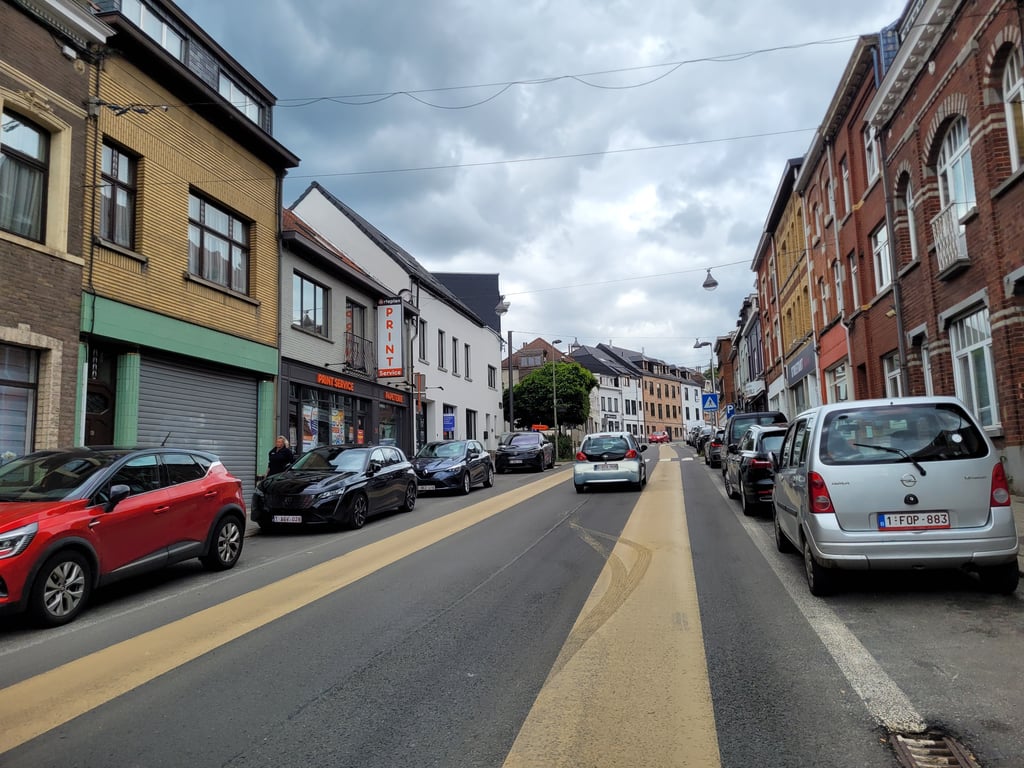
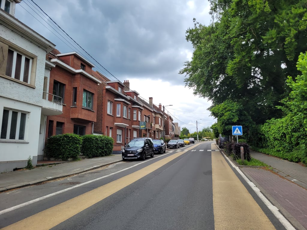
Rue François Dubois from La Hulpe is a climb in the region Ardennes Brabançonnes. It is 0.6 mi long and bridges 128 ft of vertical ascent with an average gradient of 4.1%, resulting in a difficulty score of 17. The top of the ascent is located at 312 ft above sea level. Climbfinder users shared 3 reviews of this climb and uploaded 2 photos.

Road names: Rue François Dubois & Place Alphonse Favresse

2.0 by Jarin
This is an automatic translation, the original language is: Dutch.
Not a very special climb. Climbed because it is part of the Brabantse Pijl, but even then it is mainly used as a connecting road towards Overijse. Road has wide bicycle lanes. View of the lake is nice, but that is all.... read more

Photos (2)

Rue François Dubois from La Hulpe
transparant thumb
transparant thumb
transparant thumb
transparant thumb

Your uploads (max 4)

Welcome! Please activate your account if you would like to share something. Look for the verification email in your inbox.

If you want to upload your photos, you need to create an account. It only takes 1 minute and it's completely free.

  • Receive free climbfinder goodies for your reviews & photos.
  • Create a bucket list and check off conquered climbs.
  • Add missing climbs.
Continue with GoogleContinue with Google Continue with FacebookContinue with Facebook Continue with AppleContinue with Apple Sign up with email
By signing up you agree to our terms of service and confirm that you have read our privacy & content policy.

Reviews (3)

5.0
4.0
3.0
2.0
1.0
Jarin
1 y 2.0 via the Climbfinder app
This is an automatic translation, the original language is: Dutch. Show original

Not a very special climb. Climbed because it is part of the Brabantse Pijl, but even then it is mainly used as a connecting road towards Overijse. Road has wide bicycle lanes. View of the lake is nice, but that is all.

Geen bijzondere klim. Beklommen omdat ie onderdeel van de Brabantse Pijl uitmaakt, maar ook in dat geval wordt ie vooral als verbindingsweg richting Overijse gebruikt. Weg kent ruime fietsstroken. Uitzicht op het meertje is leuk, maar daar is dan ook alles mee gezegd.

Rue François Dubois from La Hulpe
Dashboard
_superver
1 y 1.0
This is an automatic translation, the original language is: Dutch. Show original

Not really a fun climb due to heavy traffic. There is a cycle path, but you don't want to ride on that because it's not very good quality. But you don't want to ride on the road either because it makes you feel unsafe again. I wouldn't go over it.

Niet echt een leuke klim door het drukke verkeer. Er is een fietspad, maar daar wil je dan ook niet op want dat is niet zo goed van kwaliteit. Maar je wil ook niet op de weg rijden want dat geeft je weer een onveilig gevoel. Ik zou er niet overheen gaan.

Dashboard
Franck_Pastor
4 y 3.0
This is an automatic translation, the original language is: French. Show original

This is a traditional climb for the Flèche brabançonne, shortly before the final circuit in Overijse. Not very difficult in itself, it is nevertheless very attractive, with a nice curve before passing over the Brussels-Luxembourg railway line. Beware of the traffic, which can be heavy.

Côte traditionnellement empruntée par la Flèche brabançonne, peu avant de déboucher sur le circuit final à Overijse. Peu difficile en elle-même, elle ne manque néanmoins pas d'allure, avec sa courbe passant au-dessus de la ligne de chemin de fer Bruxelles-Luxembourg. Attention au trafic qui peut être intense.

Dashboard

Climbing times

5 mph 00:07:05
7 mph 00:05:01
9 mph 00:03:54
12 mph 00:02:56

Road surface condition

100% 0% 0%
Based on 1 vote
Share your knowledge. What was the road condition during your ascent?

Traffic

0% 0% 100%
Based on 1 vote
Your experience counts. How much traffic did you encounter during the climb?

Frequently Asked Questions

You don't need special gearing for Rue François Dubois from La Hulpe. The slope isn't long or steep enough to require much shifting down. You can conquer this climb on power alone. However, a compact gearing system with a smallest front chainring of 34 and largest rear sprocket of 28 or 30 is always nice if you enjoy cycling uphill. This helps maintain a smooth cadence.

Rue François Dubois from La Hulpe is not tough enough to be assigned a mountain category. This means that even untrained cyclists can reach the top without any problems on this climb.

Rue François Dubois from La Hulpe is 0.6 mi long.

The average gradient of Rue François Dubois from La Hulpe is 4.1%.

Rue François Dubois from La Hulpe has a steepest segment with an average gradient of 5.9%.

The summit of Rue François Dubois from La Hulpe is at 312 ft.

At a slow pace of 5 mph, it takes about 00:07:05 to climb Rue François Dubois from La Hulpe. At 7 mph the time is 00:05:01, and at 9 mph 00:03:54. For the fastest cyclists, 00:02:56 is an achievable time.

Rue François Dubois from La Hulpe is located in the region Walloon Brabant in Belgium.

This page is better in the app

Climbfinder app
Climbfinder
(Free)
Open