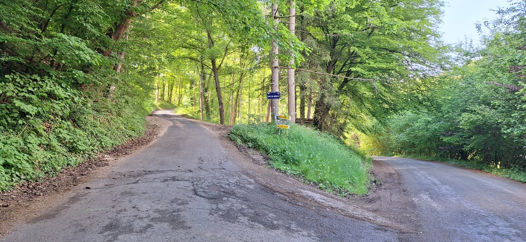
Rue de Waulx is a climb in the region Lesse Valley. It is 0.7 mi long and bridges 299 ft of vertical ascent with an average gradient of 7.9%, resulting in a difficulty score of 73. The top of the ascent is located at 646 ft above sea level. Climbfinder users shared 4 reviews of this climb and uploaded 4 photos.
This is an automatic translation, the original language is: Dutch.
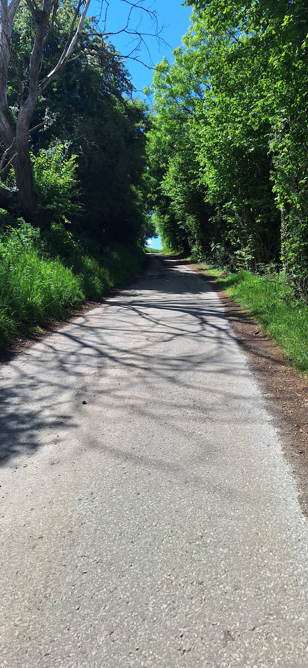
A typical road in this region; narrow, remote (so quiet), through an alternation of forest and open land, and quite a climb. The only difference: a very steady climb and therefore a nice cycling pace. A climb which is easy to do on power. Biggest disadvantage of this climb is that you end up on a busy open through road, where people drive very fast. But that is also typical for this region and cannot always be avoided....read more
Photos (4)
Welcome! Please activate your account if you would like to share something. Look for the verification email in your inbox.
This is an automatic translation, the original language is: French.
Show original
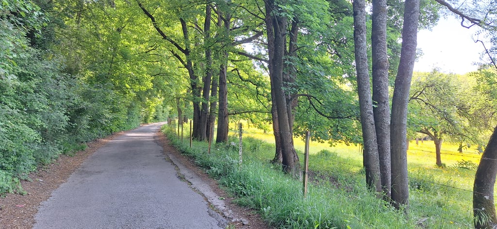
I really liked this beautiful, really quiet slope in the middle of nature, the path not too wide, fair surface, at the top you arrive on a main road with more traffic, the view of the castle and the Freÿr Rocks is close by, a delight for the eyes.
J'ai bien aimé cette belle côte vraiment tranquille en pleine nature, le chemin pas trop large, revêtement passable, au sommet on arrive sur un axe routier avec plus de circulation, le point de vue sur le château et les Rochers de Freÿr est tout près un regal pour les yeux
This is an automatic translation, the original language is: Dutch.
Show original
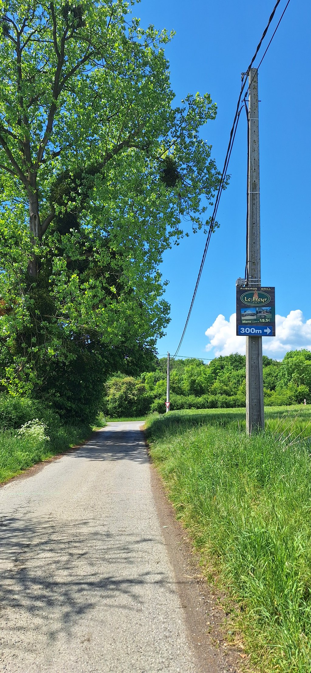
From Villatoile campsite directly uphill on a gentle climb that does not require too much. The end point is, as Robert mentioned, a busy road. A pity, but the climb is worth it.
Vanaf camping Villatoile direct omhoog op een rustige klim die niet teveel vergt. Het eindpunt is, zoals Robert al meldde, een drukke weg. Jammer maar de klim is de moeite waard.
This is an automatic translation, the original language is: Dutch.
Show original
A typical road in this region; narrow, remote (so quiet), through an alternation of forest and open land, and quite a climb. The only difference: a very steady climb and therefore a nice cycling pace. A climb which is easy to do on power. Biggest disadvantage of this climb is that you end up on a busy open through road, where people drive very fast. But that is also typical for this region and cannot always be avoided.
Een typisch weggetje in deze regio; smal, afgelegen (dus rustig), door een afwisseling van bos en open land en flink oplopend. Enige verschil: hele gelijkmatige klim en daarom heerlijk fietsen in een gelijkmatig tempo. Een klim, die op de macht goed te doen is. Grootste nadeel van deze klim is dat je uitkomt op een drukke open doorgaande weg, waar erg hard gereden wordt. Maar ook dat is typerend voor deze regio en is niet altijd te vermijden.
This is an automatic translation, the original language is: Dutch.
Show original
Very nice climb over a nice and quiet track. The climb feels the same over its entire length and can be ridden at the same pace from bottom to top with the right gear.
Zeer leuke klim over een mooie en rustige baan. De klim voelt over de hele lengte gelijk aan en kan met het juiste verzet van beneden tot boven op het zelfde tempo gereden worden.
Share your knowledge. What was the road condition during your ascent?
Traffic
100% 0% 0%
Based on 2 votes
Your experience counts. How much traffic did you encounter during the climb?
Frequently Asked Questions
You don't need special gearing for Rue de Waulx. The slope isn't long or steep enough to require much shifting down. You can conquer this climb on power alone. However, a compact gearing system with a smallest front chainring of 34 and largest rear sprocket of 28 or 30 is always nice if you enjoy cycling uphill. This helps maintain a smooth cadence.
Rue de Waulx falls into the 5th category. With good fitness, you can ride it up with speed and power. If you have less training, shift down and climb smoothly.
Rue de Waulx is 0.7 mi long.
The average gradient of Rue de Waulx is 7.9%.
Rue de Waulx has a steepest segment with an average gradient of 9.3%.
The summit of Rue de Waulx is at 646 ft.
At a slow pace of 5 mph, it takes about 00:08:37 to climb Rue de Waulx. At 7 mph the time is 00:06:06, and at 9 mph 00:04:45. For the fastest cyclists, 00:03:34 is an achievable time.