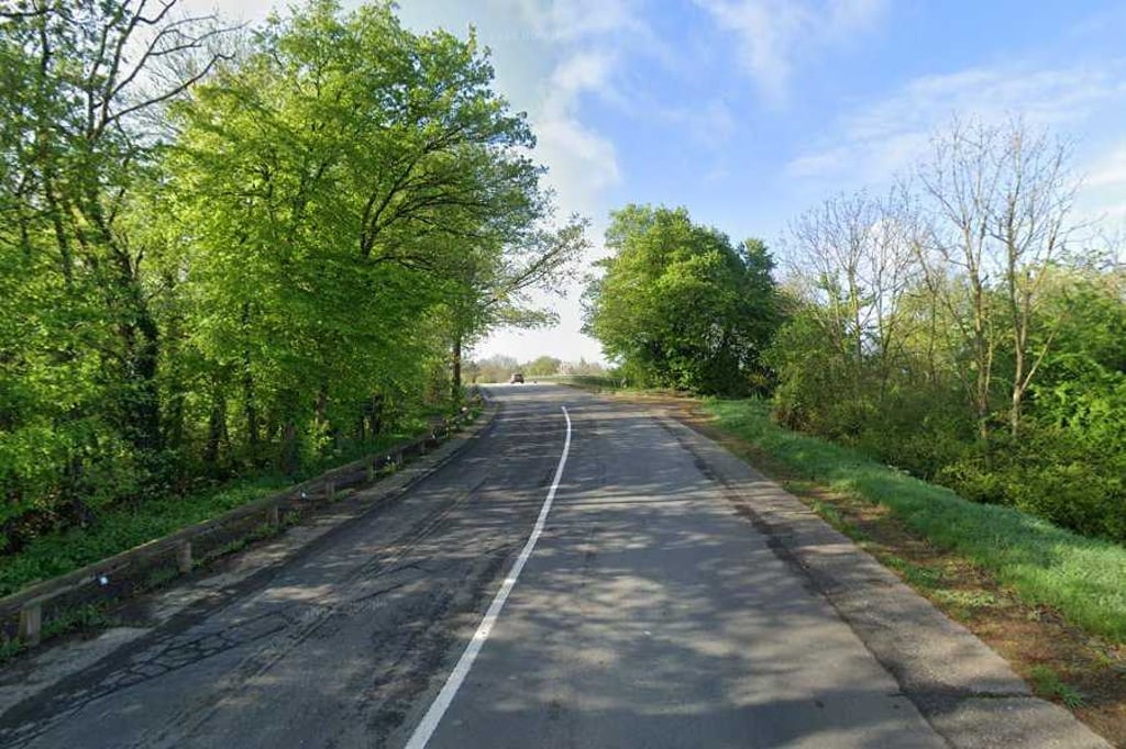
Rue de Baelen via Lanceaumont is a climb in the region Pays de Herve. It is 0.6 mi long and bridges 69 ft of vertical ascent with an average gradient of 2.2%, resulting in a difficulty score of 7. The top of the ascent is located at 902 ft above sea level. Climbfinder users shared 1 review/story of this climb and uploaded 4 photos.
Road name: Rue de Baelen
3.0 by BikerJohanThis is an automatic translation, the original language is: Dutch.Short and not too difficult climb on the south side of Welkenraedt. After crossing the railway line via the viaduct, the climb starts at the first houses on the right of the road and heads into the hamlet of Lançaumont. The steepest part of the climb runs until the first side road to the right. After this, you descend for a bit before climbing to the top via false flat. This is just before the viaduct over the Baudouin highway. This climb is a great connection to a beautiful cycling area south ... read more
Welcome! Please activate your account if you would like to share something. Look for the verification email in your inbox.
If you want to upload your photos, you need to create an account. It only takes 1 minute and it's completely free.
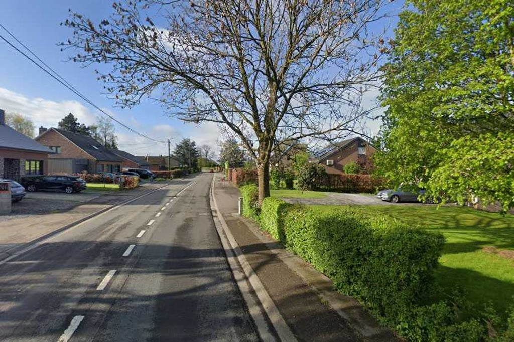
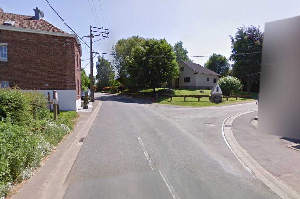
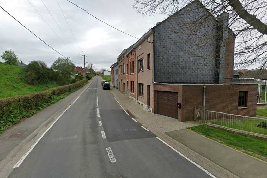
Short and not too difficult climb on the south side of Welkenraedt. After crossing the railway line via the viaduct, the climb starts at the first houses on the right of the road and heads into the hamlet of Lançaumont. The steepest part of the climb runs until the first side road to the right. After this, you descend for a bit before climbing to the top via false flat. This is just before the viaduct over the Baudouin highway. This climb is a great connection to a beautiful cycling area south of the motorway including La Gileppe and the Baraque Michel.
Korte en niet te moeilijke klim aan de zuidkant van Welkenraedt. Nadat je via het viaduct over de spoorlijn bent gegaan start de klim bij de eerste huizen rechts van de weg en rij het het buurtschap Lançaumont in. Het steilste deel van de klim loop tot aan de eerste zijweg naar rechts. Hierna daal je eerste ven een stukje om vervolgens via vals plat naar de top de gaan. Deze ligt net voor het viaduct over de Boudewijn snelweg. Deze klim is een prima verbinding naar een mooi fietsgebied ten zuiden van de autosnelweg met o.a. La Gileppe en de Baraque Michel.
| 5 mph | 00:07:07 |
| 7 mph | 00:05:02 |
| 9 mph | 00:03:56 |
| 12 mph | 00:02:57 |
This page is better in the app