Tips nearby


| Cobbles |
| #31 average steepest climb of Savoie |
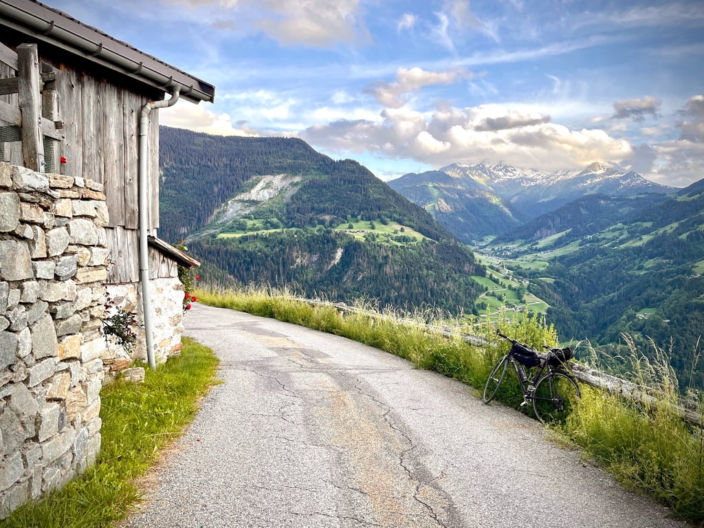
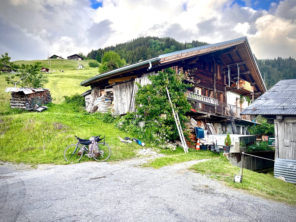
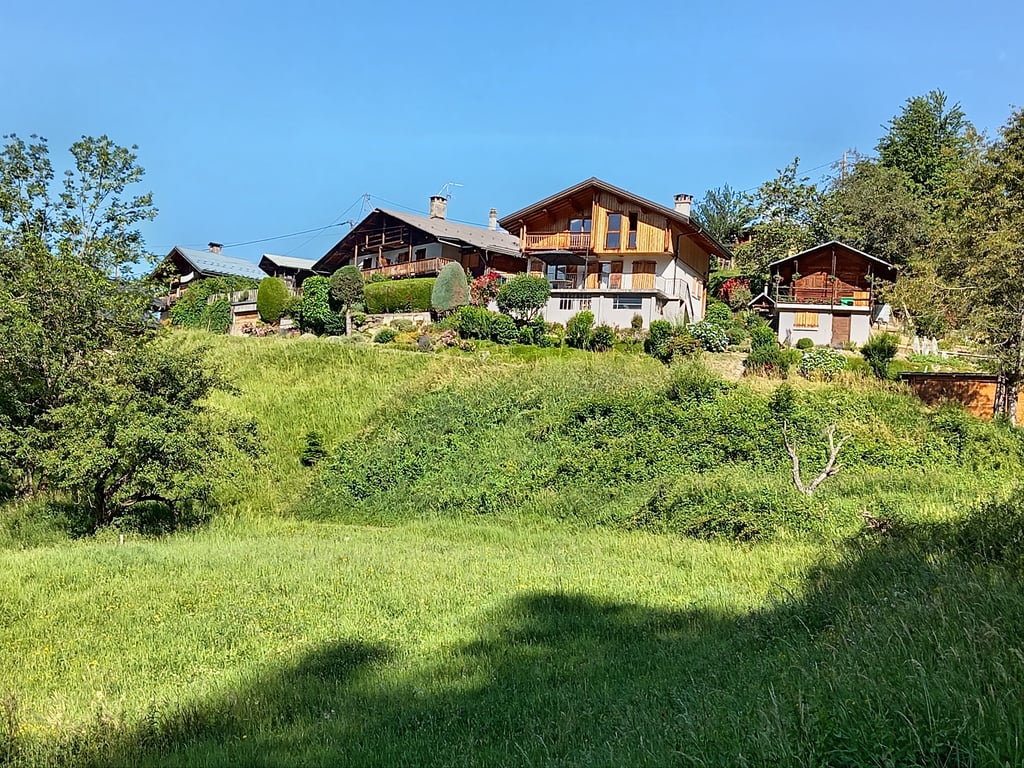
Route des Prés is a climb in the region Savoie. It is 1.2 mi long and bridges 574 ft of vertical ascent with an average gradient of 9%, resulting in a difficulty score of 162. The top of the ascent is located at 3786 ft above sea level. Climbfinder users shared 2 reviews of this climb and uploaded 9 photos.
Road name: Route des Prés
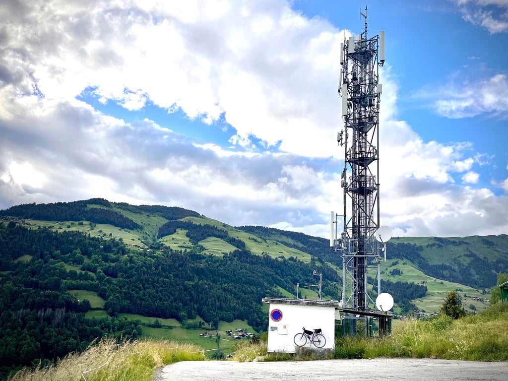
3.0 by CromagnonThis is an automatic translation, the original language is: French.You can either start from Beaufort (in which case you'll have to add 3.5km of ascent on the D70), or come down from Signal de Bisanne or Les Saisies, but the départementale is closed until the end of October 2026. The road is in very acceptable condition. It's deserted. The percentages are no joke. It's short, but it climbs well. The 9% are there. Beautiful scenery. At the top, an antenna and a few working farms. A nice little climb, but more classic and less picturesque than the... read more

Welcome! Please activate your account if you would like to share something. Look for the verification email in your inbox.
If you want to upload your photos, you need to create an account. It only takes 1 minute and it's completely free.
You can either start from Beaufort (in which case you'll have to add 3.5km of ascent on the D70), or come down from Signal de Bisanne or Les Saisies, but the départementale is closed until the end of October 2026.
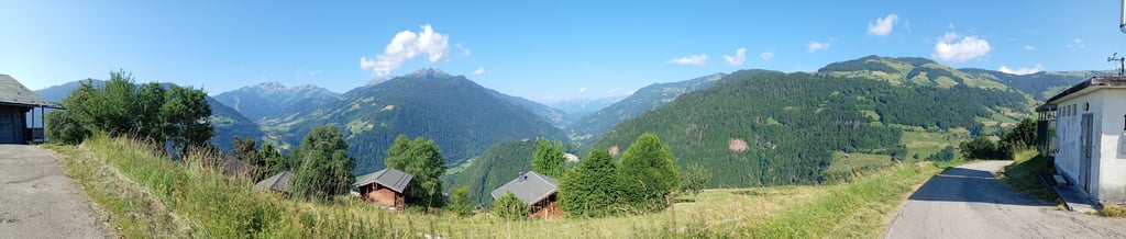
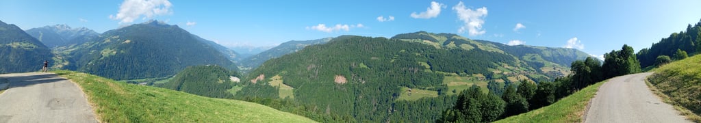
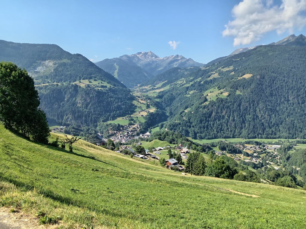
The road is in very acceptable condition. It's deserted. The percentages are no joke. It's short, but it climbs well. The 9% are there. Beautiful scenery. At the top, an antenna and a few working farms. A nice little climb, but more classic and less picturesque than the Côte des Vanches from Villard sur Doron.
Soit vous partez de Beaufort (auquel cas, il faut ajouter 3,5km d’ascension sur la D70), soit vous descendez du Signal de Bisanne ou des Saisies, mais la départementale est fermée jusqu’à fin octobre 2026.
Il faut suivre « Les Prés » et non « Les Villes ».
La route est dans un état très acceptable. Non, il n’y a pas de pavés ! Elle est déserte. Les pourcentages ne sont pas là pour plaisanter.
C’est court, mais, ça monte bien. Les 10% sont bien là.
Beaux paysages. Vue sur ke massif du Beaufortain.
En haut, une antenne et quelques fermes actives. Jolie petite montée, mais plus classique et moins pittoresque que la côte des Vanches depuis Villard sur Doron.
Done on 24 June 2025 in the wake of the ascent to Plan du Mont just next door.
The ascent to the Rte des Prés relay antenna car park is not very long (2km on the Climbfinder profile), but leaving Beaufort you have 2 options: either head for Les Curtillets (Col du Joly) or a little further along the Rte du Cormet de Roselend and then Les Cernix, which is longer and more difficult.
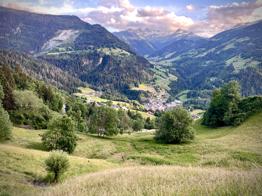
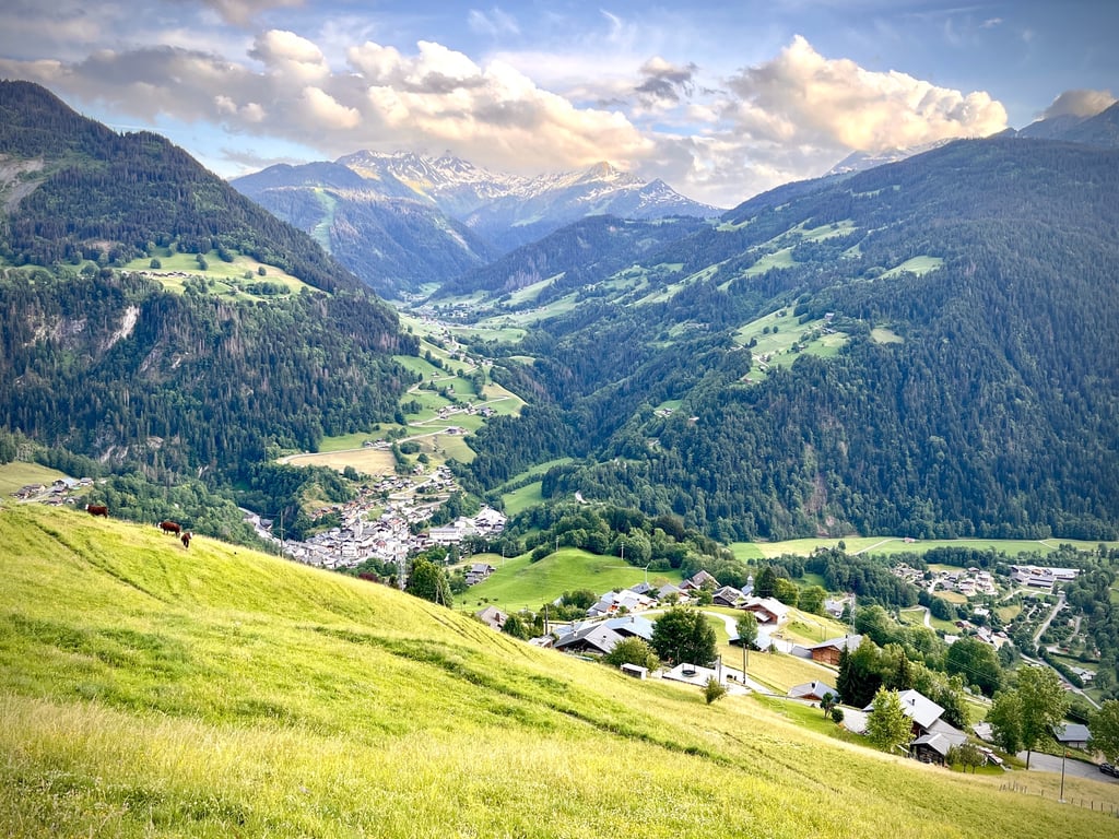
Beautiful scenery in the Beaufortain Massif, Hauteluce in the distance, Signal de Bisanne which can also be seen and which is a formidable climb from Villard sur Doron.
Fait le 24 Juin 2025 dans la foulée après la montée à Plan du Mont juste à côté.
L'ascension jusqu'au parking de l'antenne relais de la Rte des Prés n'est pas très longue 2km sur le profil Climbfinder mais en partant de Beaufort vous avez 2 options soit direction les Curtillets ( Col du Joly ) soit un peu plus loin sur la Rte du Cormet de Roselend puis les Cernix , Longueur, dénivelé donc difficulté accrue.
Très beaux paysages du Massif du Beaufortain, Hauteluce au loin, Signal de Bisanne que l'on aperçoit aussi et dont la montée depuis Villard sur Doron est redoutable.
| 5 mph | 00:14:40 |
| 7 mph | 00:10:23 |
| 9 mph | 00:08:05 |
| 12 mph | 00:06:04 |
This page is better in the app