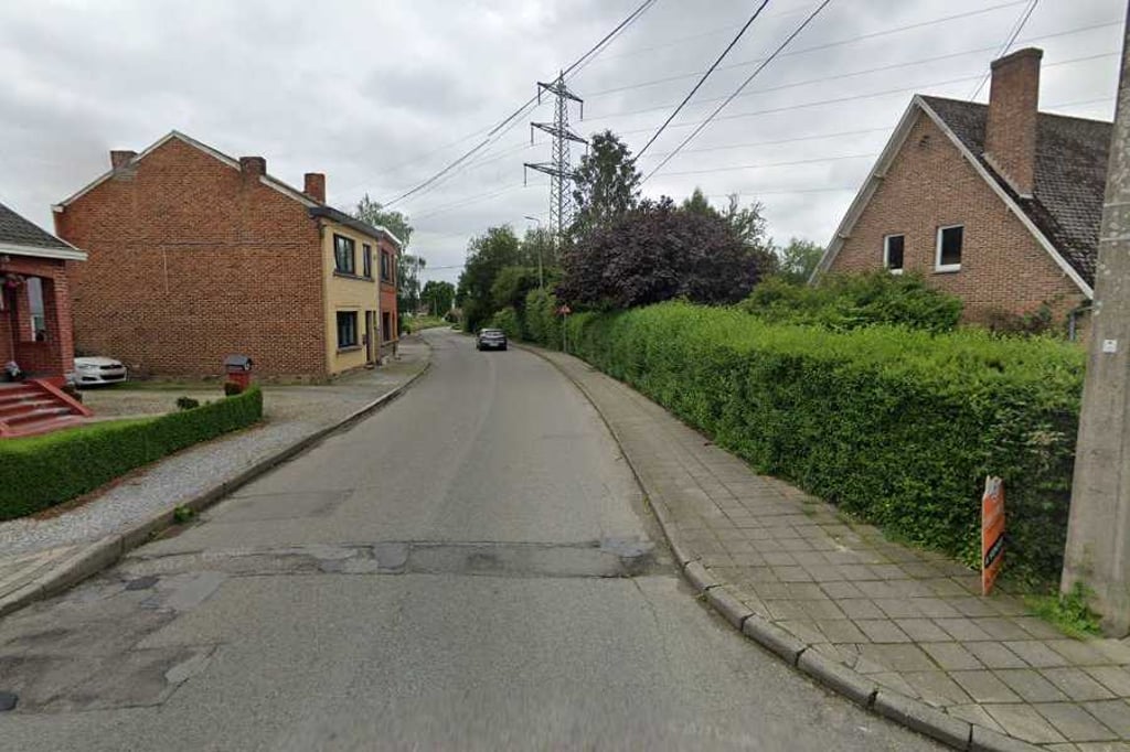
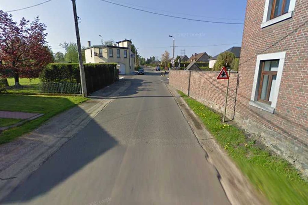
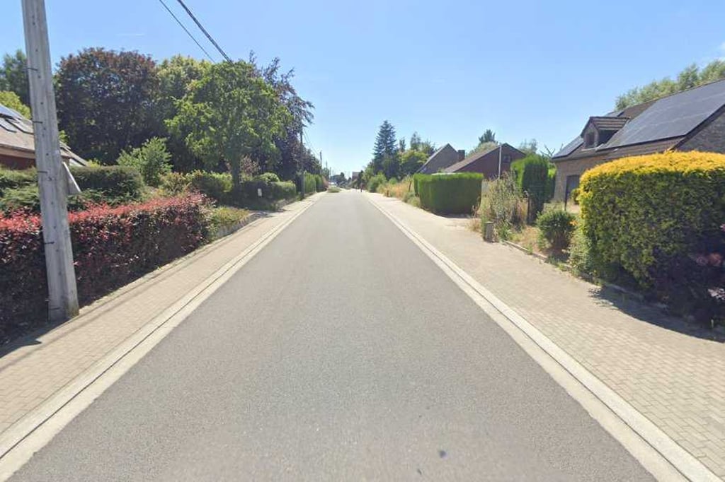
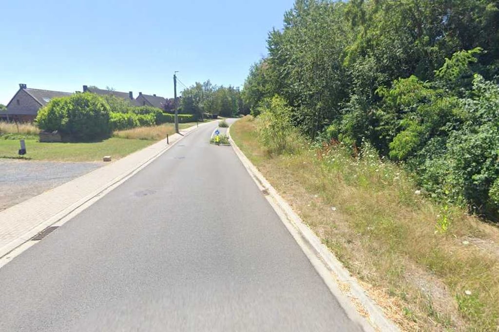
Route de Pays de Liège from Saivelette is a climb in the region Pays de Herve. It is 0.8 mi long and bridges 118 ft of vertical ascent with an average gradient of 2.7%, resulting in a difficulty score of 12. The top of the ascent is located at 597 ft above sea level. Climbfinder users shared 1 review/story of this climb and uploaded 4 photos.
Road names: Rue du Pays de Liège - Route du Pays de Liège & Rue de Rabosée
3.0 by BikerJohanThis is an automatic translation, the original language is: Dutch.Driving from the direction of Hognée under the E-40 you start this not too difficult climb from Saivelette via Rabosée to Xhavée. Most of the ascent is in the first 400 metres. After that it is false flat until the top. The climb is part of a route to avoid the busy Rue de Visé in places like Cheratte and Wandre.... read more
Welcome! Please activate your account if you would like to share something. Look for the verification email in your inbox.
If you want to upload your photos, you need to create an account. It only takes 1 minute and it's completely free.
Driving from the direction of Hognée under the E-40 you start this not too difficult climb from Saivelette via Rabosée to Xhavée. Most of the ascent is in the first 400 metres. After that it is false flat until the top. The climb is part of a route to avoid the busy Rue de Visé in places like Cheratte and Wandre.
Als je vanuit de richting Hognée onder de E-40 doorrijdt begin je aan deze niet te moeilijke klim vanaf Saivelette via Rabosée naar Xhavée. De meeste stijging zit in de eerste 400 meter. Daarna is het tot de top vals plat. De klim is deel van een route om de drukke Rue de Visé in o.a. Cheratte en Wandre te vermijden.
| 5 mph | 00:09:58 |
| 7 mph | 00:07:03 |
| 9 mph | 00:05:30 |
| 12 mph | 00:04:08 |
This page is better in the app