Route de la Menandelle is a climb in the region Caps et Marais d'Opale. It is 0.7 mi long and bridges 197 ft of vertical ascent with an average gradient of 5.4%, resulting in a difficulty score of 41. The top of the ascent is located at 285 ft above sea level. Climbfinder users shared 1 review/story of this climb and uploaded 3 photos.
Road name: Route de la Menandelle
2.0 by CromagnonThis is an automatic translation, the original language is: French.What a cute little climb! This path is only known to Climbfinder cyclists? You won't come across anyone. As a result, the little strip of tarmac has been abandoned and the vegetation is growing back. You start off in front of an austere railway bridge. It's a sort of small end of the world. It's not much of a climb, but if you pay attention, you'll be able to catch a glimpse of a Maginot Line bunker "set" in the hideous United Petfood warehouse. A strange sight. ... read more
Welcome! Please activate your account if you would like to share something. Look for the verification email in your inbox.
If you want to upload your photos, you need to create an account. It only takes 1 minute and it's completely free.
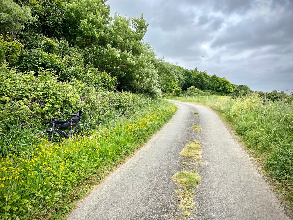
What a cute little climb! This path is only known to Climbfinder cyclists? You won't come across anyone. As a result, the little strip of tarmac has been abandoned and the vegetation is growing back.
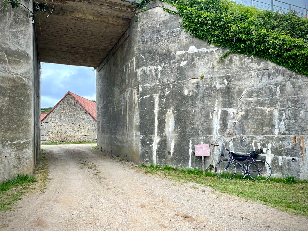
You start off in front of an austere railway bridge. It's a sort of small end of the world.
It's not much of a climb, but if you pay attention, you'll be able to catch a glimpse of a Maginot Line bunker "set" in the hideous United Petfood warehouse.
A strange sight.
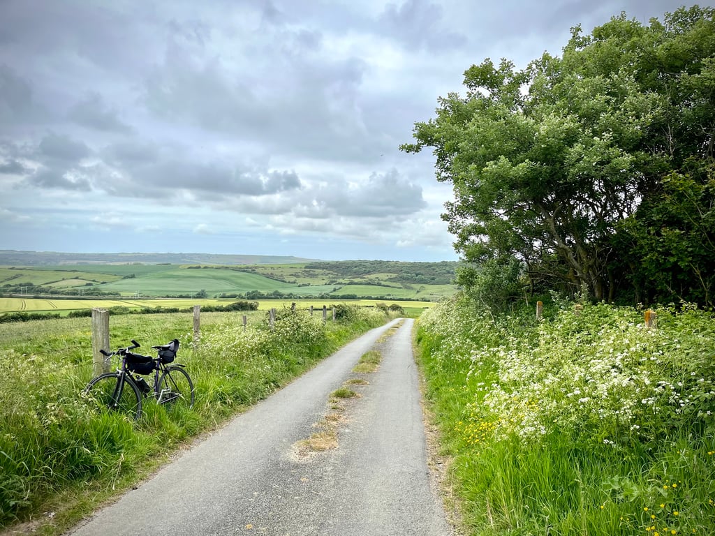
The rest of the way is very bucolic...
Elle est bien mignonne, cette petite côte ! Ce chemin n’est connu que des cyclistes de Climbfinder ? Vous ne croiserez personne. De ce fait, le petit ruban de goudron est à l’abandon et la végétation repousse.
On démarre devant un austère pont ferroviaire. C’est une sorte de petit bout du monde.
Ça ne grimpe pas fort mais on se consolera car si l’on est attentif, on pourra entrevoir un bunker de la Ligne Maginot « serti » dans l’entrepôt hideux de la United Petfood.
Étrange vision.
Le reste du chemin est très bucolique…
| 5 mph | 00:08:17 |
| 7 mph | 00:05:52 |
| 9 mph | 00:04:34 |
| 12 mph | 00:03:26 |
This page is better in the app